Overview
Executive Summary
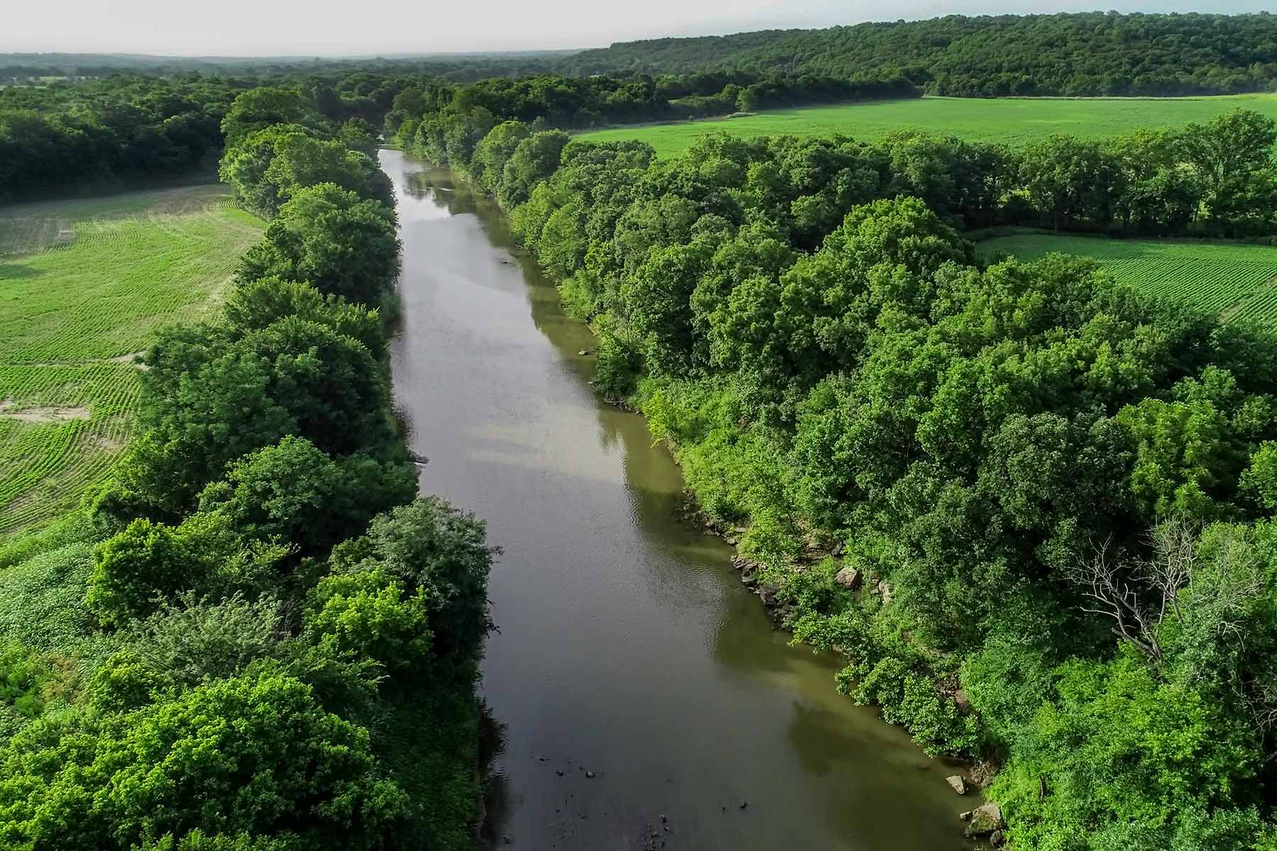
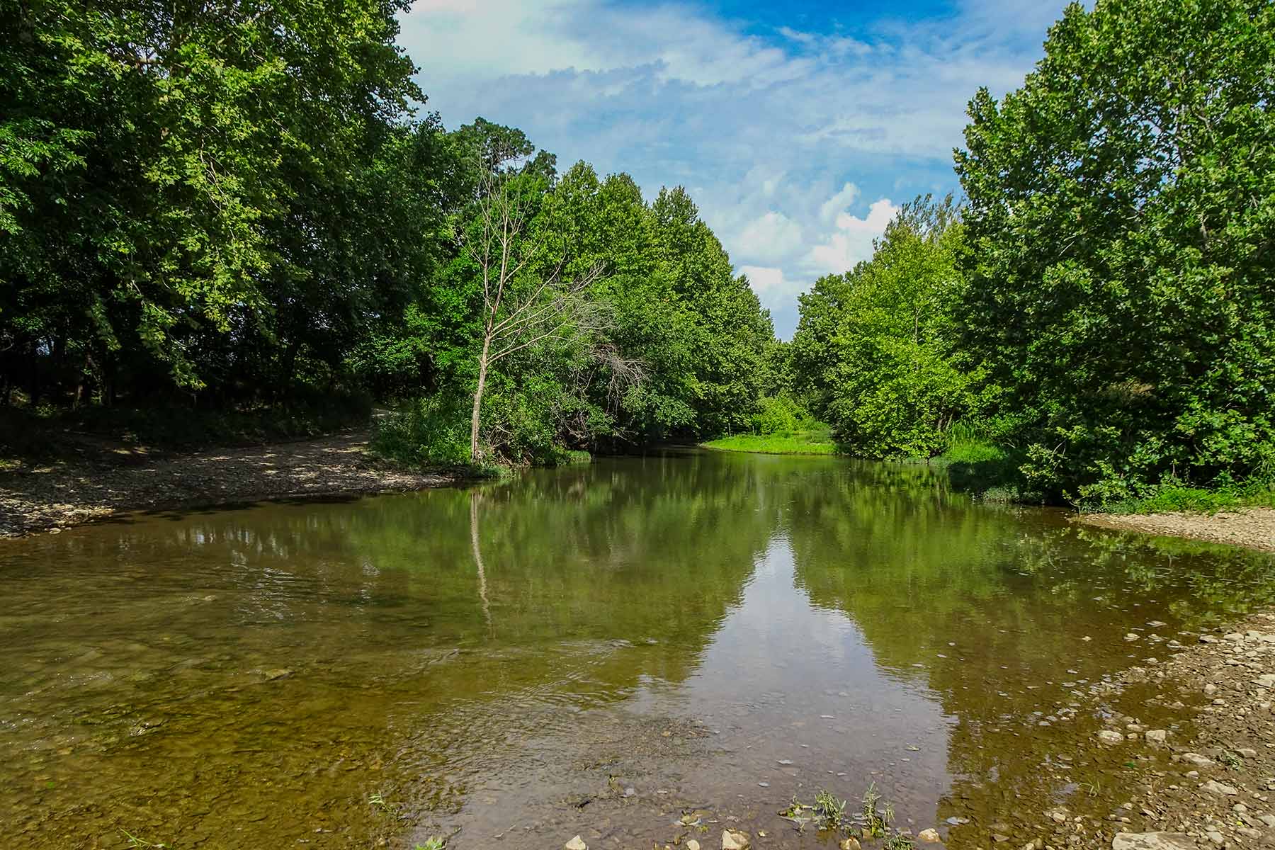
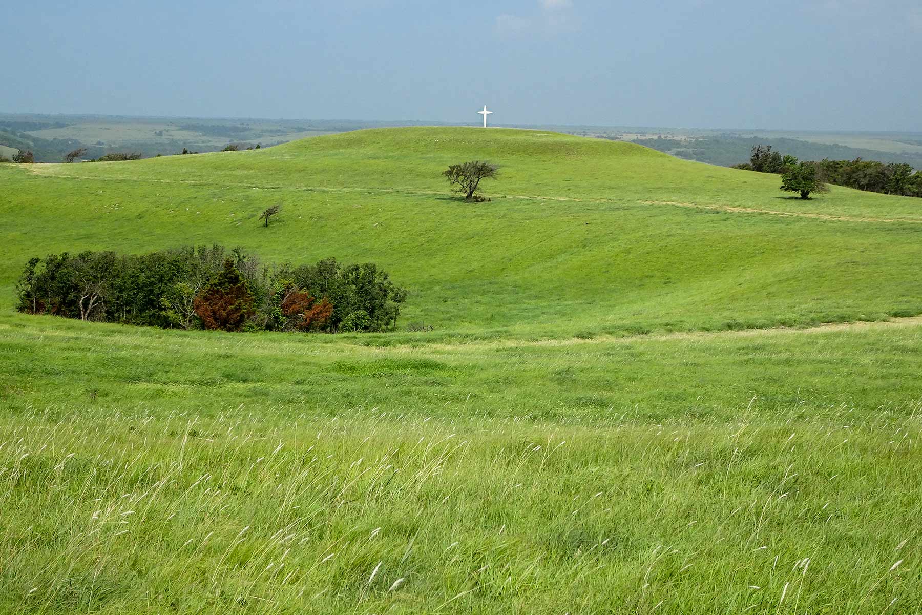
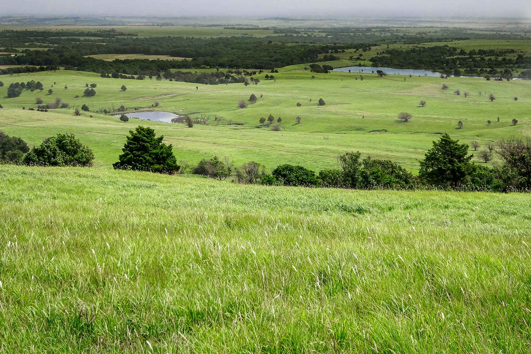
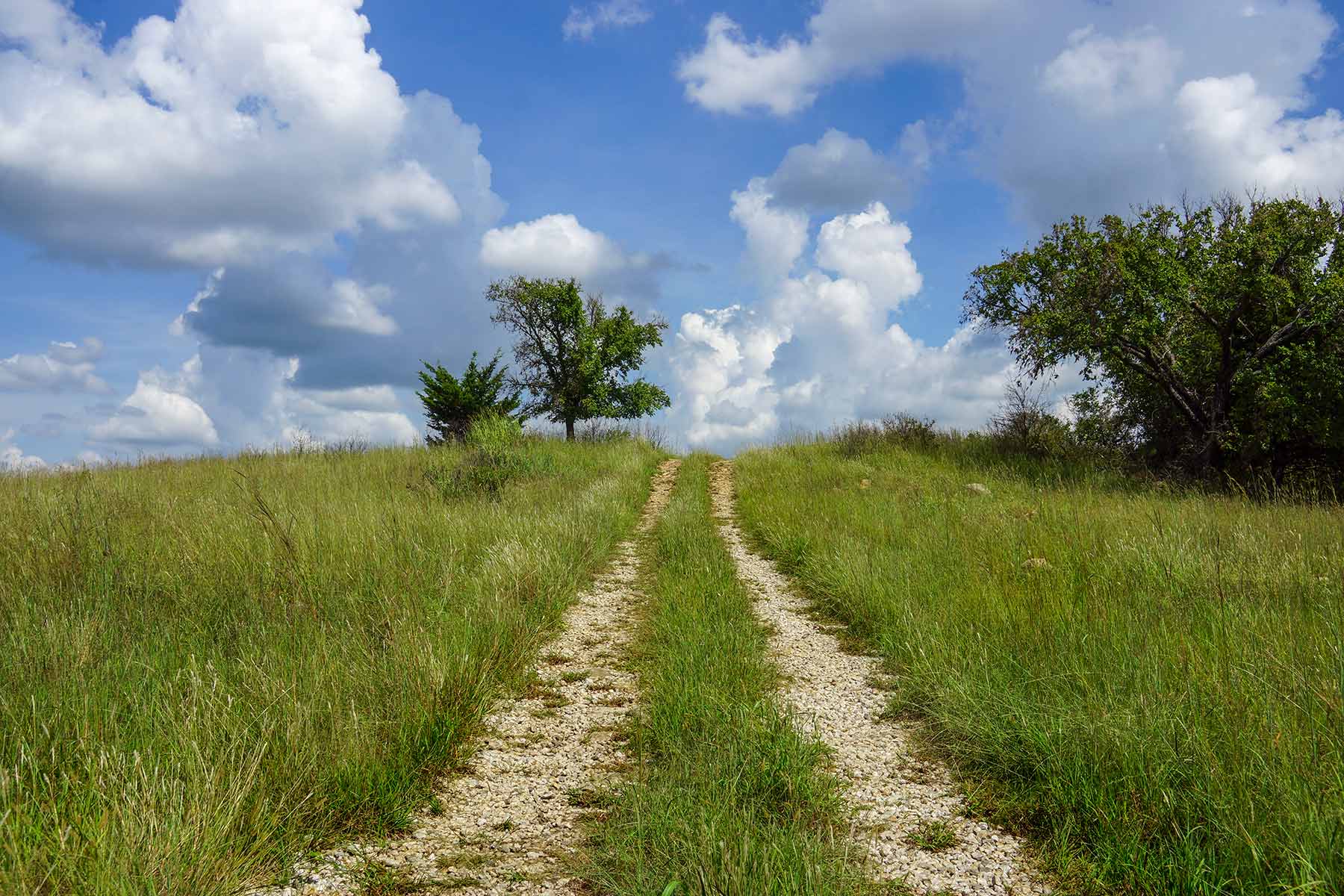
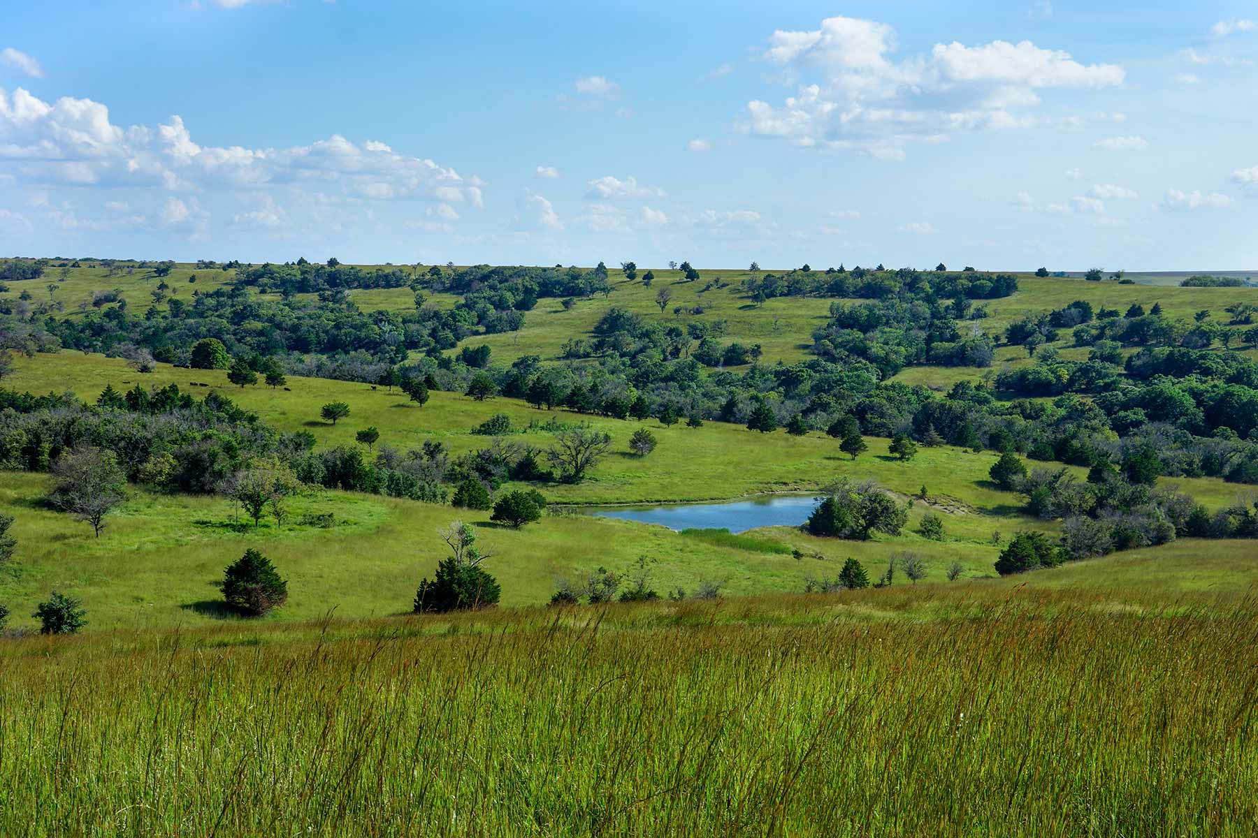
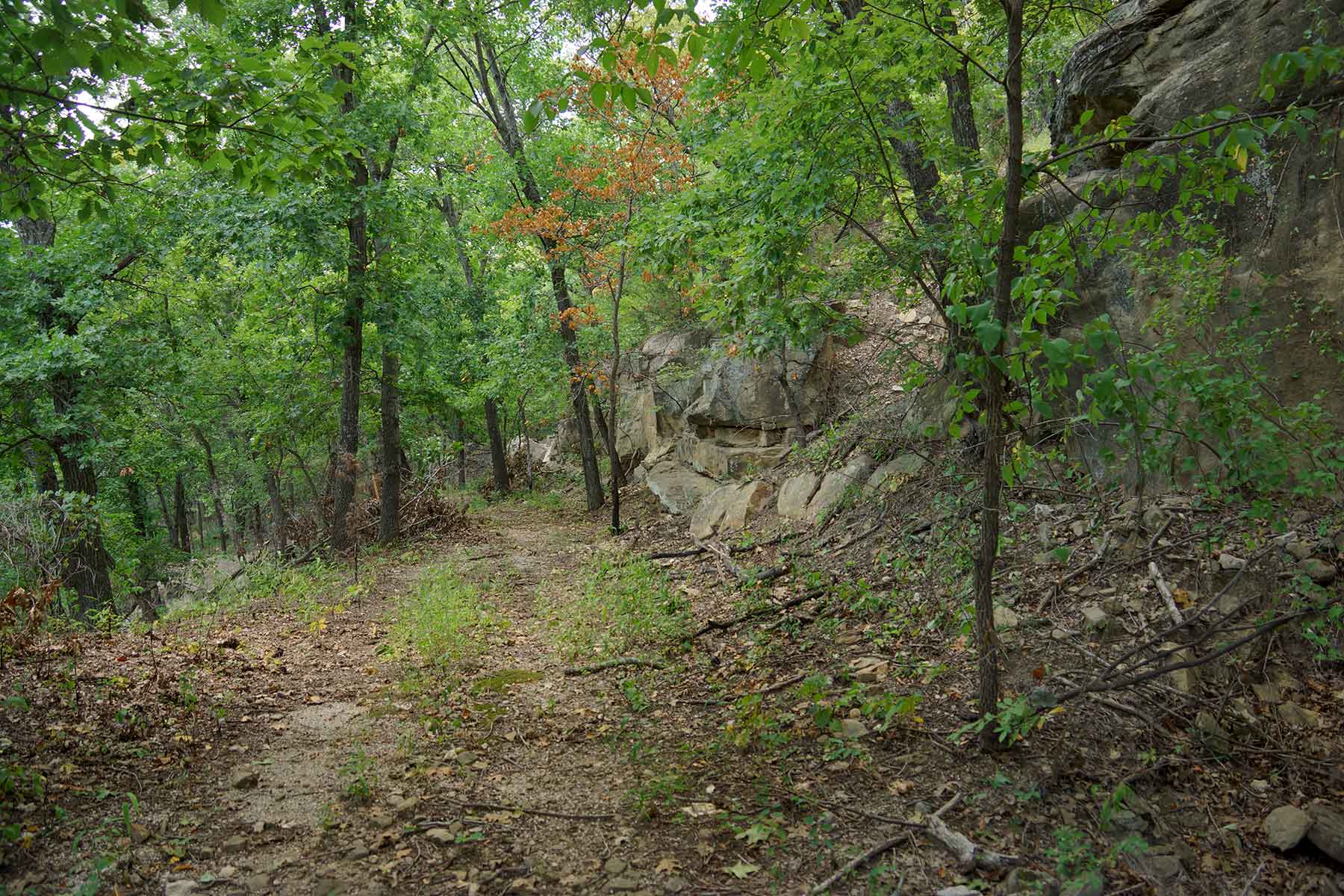
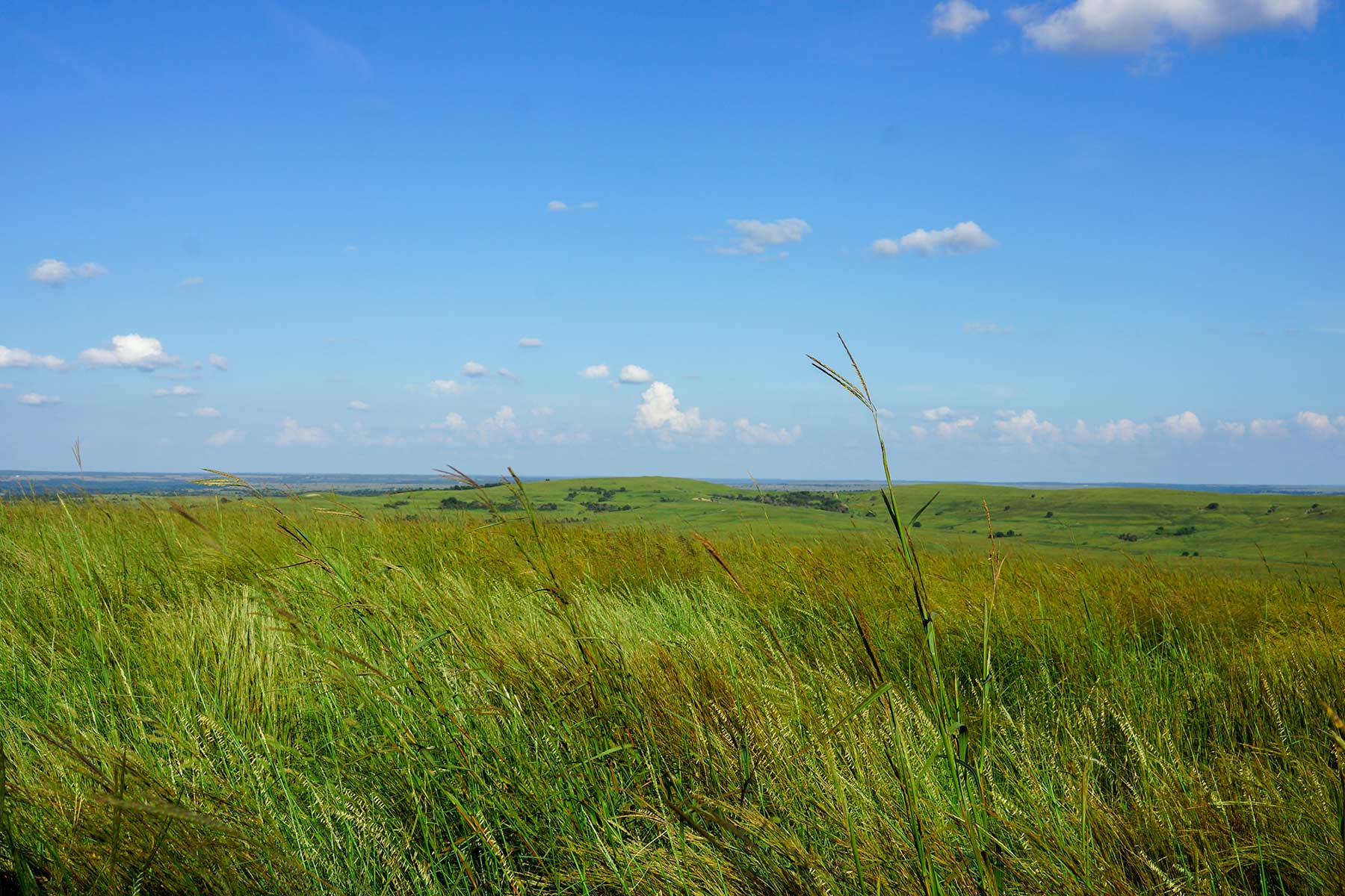
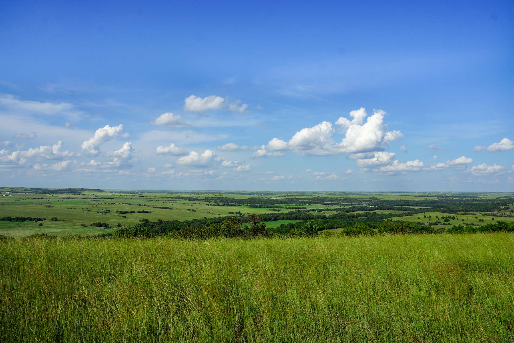
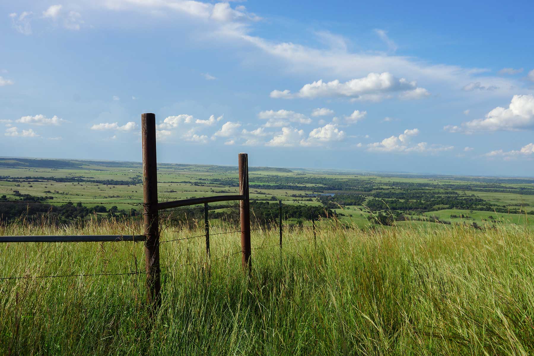
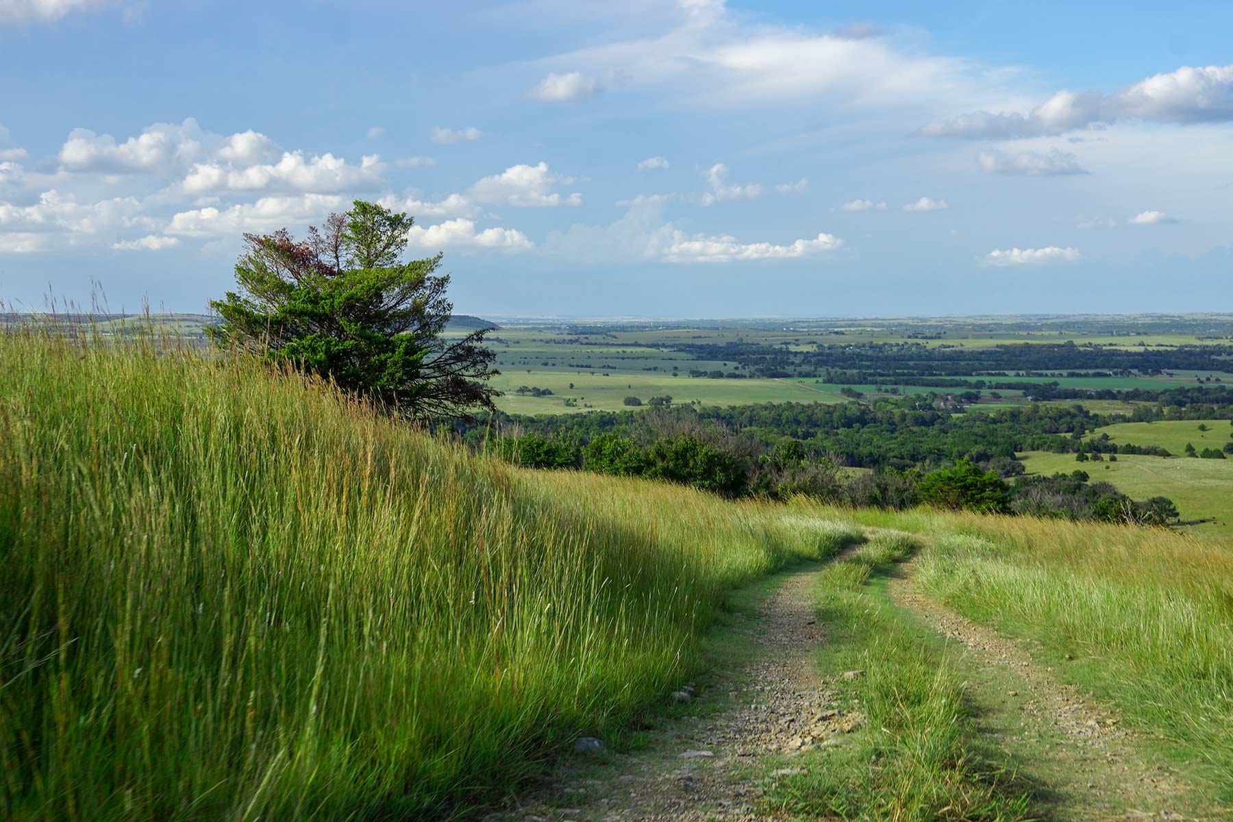
Sitting halfway between Tulsa and Wichita, the scenic 7,671± acre Cedar Vale Ranch is comprised of a limestone based tallgrass prairie with two miles of the Caney River and several live creeks. The Cedar Vale Ranch West Division consists of 2,891± contiguous acres located in Chautauqua and Cowley Counties of Kansas. There are approximately 105± acres of cropland and the balance in native grass, trees, and water. Rush Creek and Rock Creek flow through the ranch to provide a significant supply of fresh clear water to both livestock and wildlife. There are 11 ponds and an amazing 25± acre watershed lake that is stocked with crappie, bass, bluegill, and catfish. With over 400’ of elevation change, the West Division has a beauty that is difficult to convey. The physical diversity of this ranch provides for an abundance of trophy whitetail deer and wild turkey.
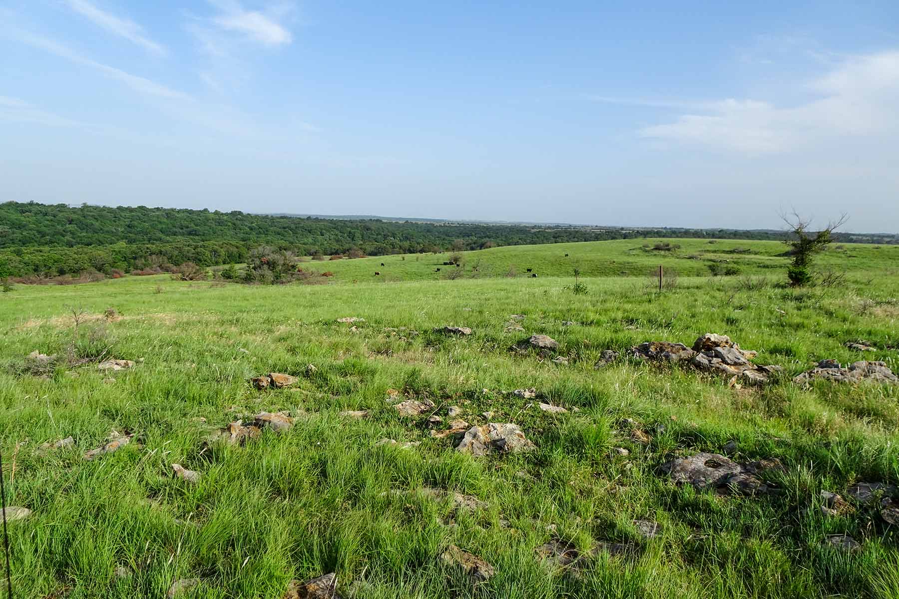
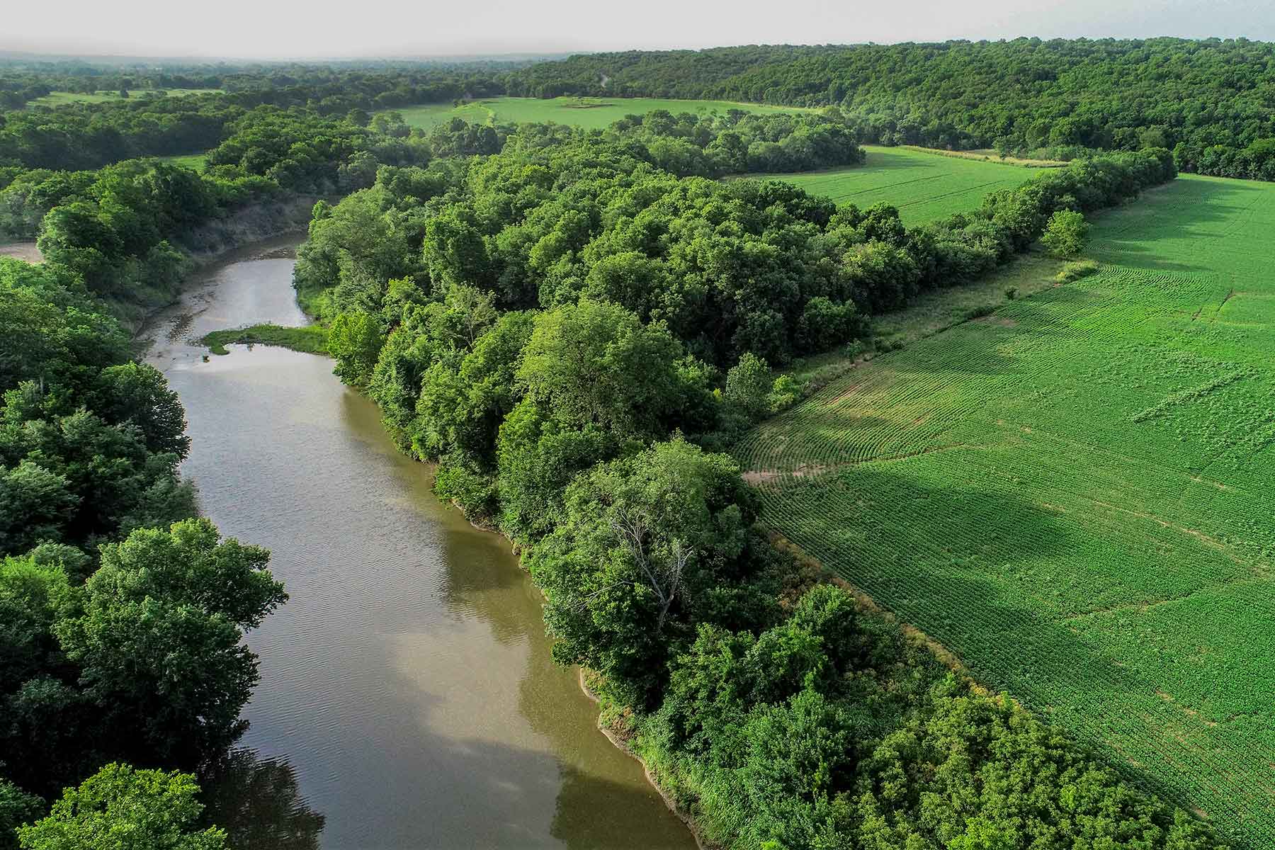
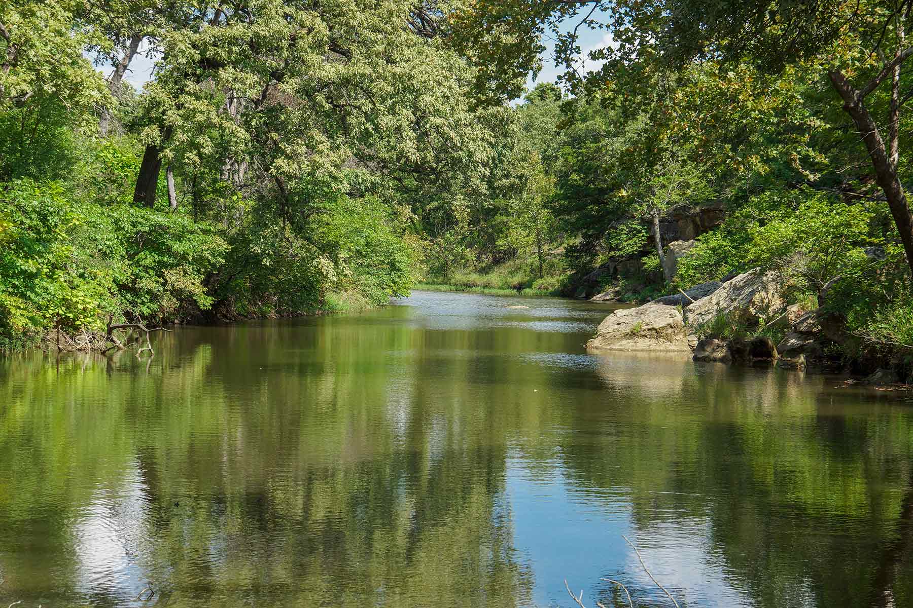
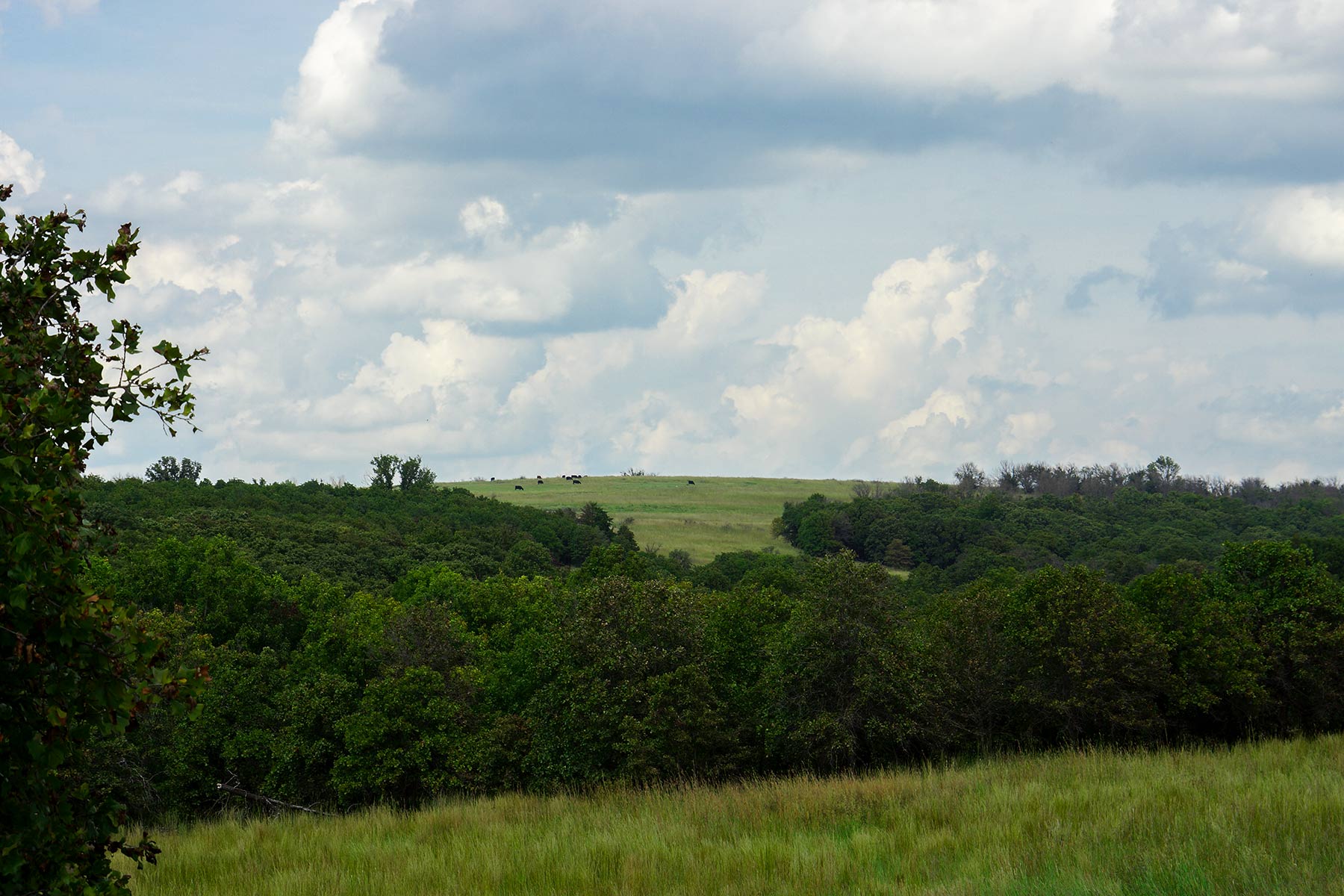
The Cedar Vale Ranch East Division is a scenic Flint Hills cattle ranch with outstanding hunting and fishing. This ranch is located in southeast Kansas about midway between Wichita and Tulsa. Two miles of the rock-bottom Caney River plus four live creeks provide a unique topographic diversity on these 4,780± acres of rolling flint hills. There are approximately 250± acres of river-bottom cropland, with balance in native tallgrass prairie. The physical diversity of this ranch with the two northern canyons joining up and running down through the middle of this ranch provide for an abundance of trophy whitetail deer and wild turkey. The Caney River is a renowned source of record-sized catfish and flathead fishing.
Just the Facts
- 7,671± total deeded acres
- Located in the Flint Hills ecosystem in southeastern Kansas
- Excellent tall grass species with productive soils
- Excellent year-round cow/calf ranch with good winter cover and hay land to provide for winter feed
- Multiple live creeks running through large canyons that traverse through the ranch
- Two miles of the Caney River, a rock-bottom river that provides for renowned catfish and flathead fishing
- Rich river bottom cropland capable of providing outstanding crop yields
- Trophy whitetail deer and wild turkey hunting
- Multiple sources of income from cattle, farming, and hunting
General Description
The West Division is a combination of excellent grazing land, productive cropland, and tree-covered draws and canyons that contain Rock Creek and Rush Creek. The live water sources make this a good year-round cattle ranch with plenty of cover for the winters. Typical stocking rates in the area are one A.U. per 8-10 acres depending on management practices, and the ranch is cross fenced into nine different pastures. The distinct diversity of the ranch allows for good income streams from cattle grazing, farming, and commercial hunting.
The East Division is a combination of excellent grazing land, productive river bottom cropland, and tree-covered draws and canyons that contain the live creeks and the Caney River. The generous water sources make this a good year-round cattle ranch with plenty of cover for the winters. Typical stocking rates are one A.U. per 8-10 acres depending on management practices. The ranch is cross fenced into 11 pastures for livestock distribution.
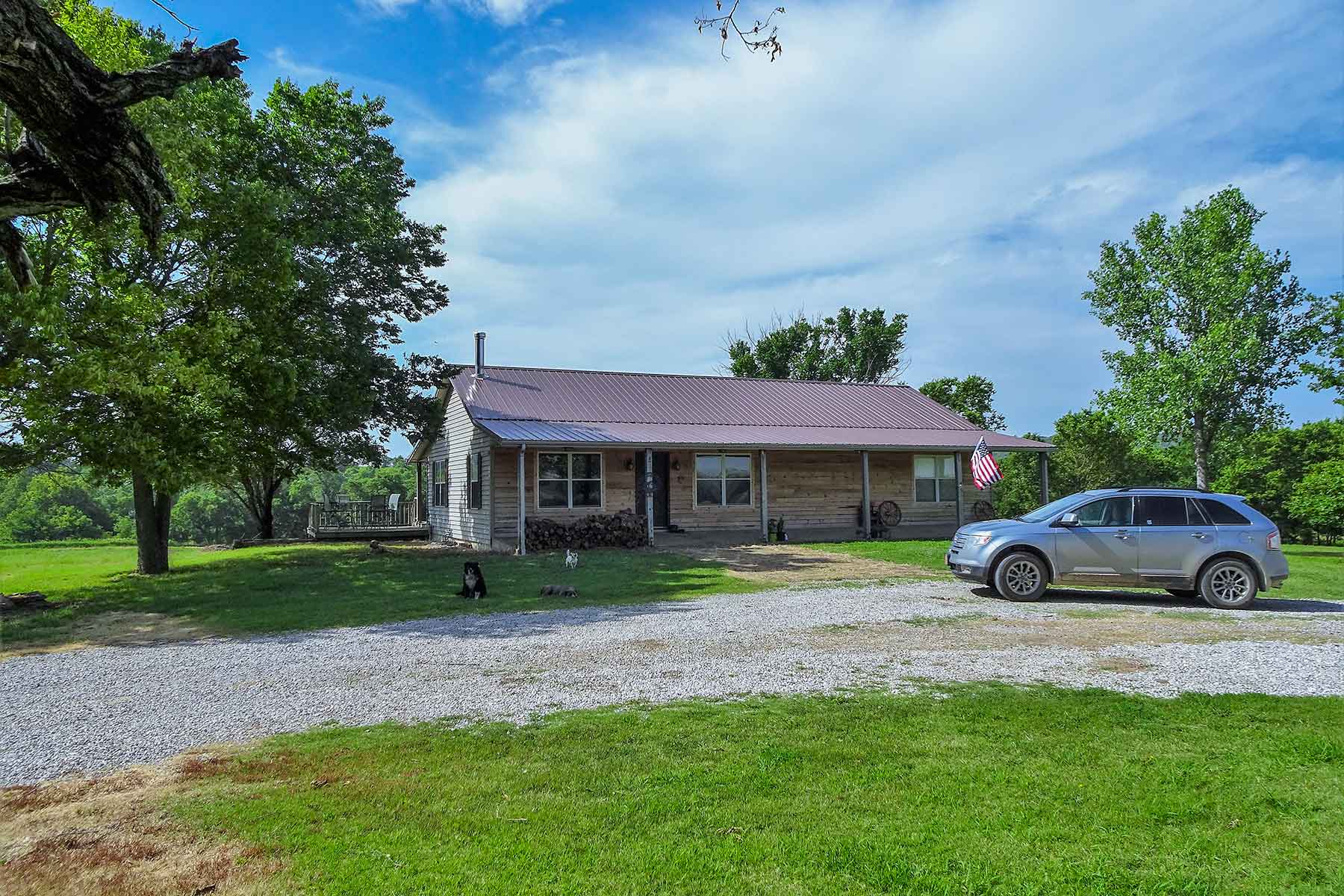
There is a good house/hunting cabin located down on the south end of the property that is currently utilized by a commercial hunting operation. The guide service maintains feeders and 12 food plots totaling 50± acres throughout the ranch. The distinct diversity of the ranch allows for good income streams from cattle grazing, farming and commercial hunting.
Broker's Comments
The Cedar Vale Ranch West Divison is a diverse and productive agricultural property that is also beautiful because of its unique topographical features. With steep rock-lined canyon walls, 25± acre flood control lake, and its two live creeks, it’s hard to believe that you are in Kansas. With generous food and water sources and the remoteness inherent to this area, the wildlife populations on this ranch are second to none. Yet it is within the Flint Hills that are covered with the prolific tall grasses where cattle grazing is so well-known. The soils that make up the cropland historically produce excellent crops. The ranch’s diversity in topography, soils, and brush cover have the potential to produce rental income. This ranch has stunning physical features along with a very appealing agricultural income stream.
The East Divison is a diverse and productive agricultural property that is also beautiful because of its unique topographical features. With steep rock-lined canyon walls along the creeks and the two miles of the rock-bottomed Caney River, it’s hard to believe that you are in Kansas. With generous food and water sources and the remoteness inherent to this area, the wildlife populations on this ranch are second to none. Yet it is within the Flint Hills that are covered with the prolific tall grasses where cattle grazing is so well-known. The soils that make up the river bottom cropland historically produce bumper crops. This ranch has stunning physical features along with a very appealing agricultural income stream.
Locale
Location
Located approximately 90 miles southeast of Wichita, Kansas, and nearly 100 miles northwest of Tulsa, Oklahoma, the ranch is in the southwest corner of Chautauqua County and the Oklahoma State line is the southern border of the ranch. The West Division is located at the end of a county road and its remote location helps ensure privacy for the future owner. There is a state highway just five miles north of the ranch for easy access in and out of the immediate area. The East Division is located approximately eight miles east of the West Division and is easily accessible. There is a jet-capable airport approximately 38 miles from the ranch in Arkansas City with a 5,500’ runway. Daily commercial service flights come out of both Wichita and Tulsa.
Locale
The Cedar Vale Ranch is located in the southern portion of one of the world’s most productive natural ecosystems known as the Flint Hills. This tallgrass prairie is so naturally prolific due to the inherent soil types, the generous annual precipitation of around 36 inches, and a growing season of nearly 190 days. These rolling hills and canyons are marked with large rock outcroppings and lots of elevation changes along the two live creeks. With productive river-bottom land and the natural topography it is easy to see why this area is known for trophy whitetail deer.
Climate
The average high temperature in January is 31 degrees and the average high temperature in July is 81 degrees. Average annual precipitation is 39 inches. Local elevation is 1,000 feet above sea level. The ranch averages around 190 frost-free days yearly.
Aesthetic Considerations
Elevation on the West Division ranges from 900 feet to 1,322 feet.
Elevation on the East Division ranges from 785 feet to 1,050 feet.
Property Details
Acreage (Deeded & Leased)
West Division Acreage Breakdown:
Acres used for Grazing: 2,786±
Cropland Acres: 105±
Total Acres: 2,891±
East Division Acreage Breakdown:
Acres used for Grazing: 4,080±
Cropland Acres: 250±
Food plot Acres: 50±
Land not grazed or farmed: 400±
Total Acres: 4,780±
Deeded Acres: 7,671±
Total Leased Acres: 0±
Total Acres: 7,671±
Additional Information
Owner is a Hall and Hall partner.
Improvements
The West Division has a very nice 3,300± sq. ft. ranch house containing five bedrooms and two and a half bathrooms. The main house is located next to a 40’ x 100’ barn, 1,600± sq. ft. shop with a concrete floor, and three overhead feed bins. There are two sets of cattle pens on the ranch and a set of scales for weighing cattle. Two additional cabins are located near the headquarters: a two bed and one bath 1,200± sq. ft. cabin, and a one bed and one bath 275± sq. ft. cabin with a nice porch.
The East Division has one house on the south end of the ranch that was completely remodeled in 2007. It has four bedrooms, one bunkroom with three bunk beds, one full bathroom, three ¾ bathrooms, and one half bathroom. Outbuildings include a 60’ x 80’ pole barn, an 8’ x 20’ storage container, and 10’ x 10’ shed with concrete floor. There is a nice 60’ x 130’ metal barn in the center of the ranch with a 1,200± sq. ft. three bedroom and two bathrooms attached apartment.
Water Rights
Mineral Rights
The seller will convey all minerals owned with an acceptable offer. On the West Division the Seller believes to own approximately 100% of the minerals under 300± acres, and 30-35% across the remaining 2,600± acres. On the East Division the Seller believes to own approximately 51% of the minerals under 4,700± acres.
Taxes
West Division property taxes are approximately $8,269 based upon past years.
East Division property taxes are approximately $17,891 based upon past years.
Recreational Amenities
Recreational Considerations
The hunting on the ranch is outstanding due to the location, farm ground, food plots, elevation, and brush cover. Light hunting pressure and strict harvest guidelines have created an ideal age structure among the bucks. There are 25 feeders/bait stations that are filled from August through March. There is approximately 305 acres of farm ground that provides an ideal food source for whitetail deer, turkeys, and quail, plus an additional 50± acres of ideally placed food plots that are planted in the fall to help congregate wildlife. The 25± acre flood control lake and the Caney River serve as excellent waterfowl habitat. This diverse ranch can accommodate the avid hunter or the conservationist that wants to enjoy wildlife in its element.
General Operations
General Operations
The ranch is currently stocked with cows and yearlings. The West Division is stocked with spring calving cows and yearlings, and the East Division is stocked with fall calving cows. Yearlings are brought in during the fall and shipped in the middle of July.
Grazing Resources
The ranch is located in the southeast corner of the Flint Hills. The predominate grasses are Big Bluestem, Switchgrass, Little Bluestem, Indiangrass, Silver bluestem, Sideoats Grama, and Bermuda grass. Both divisions were burned in April 2018, and there has been extensive invasive plant control measures taken.

