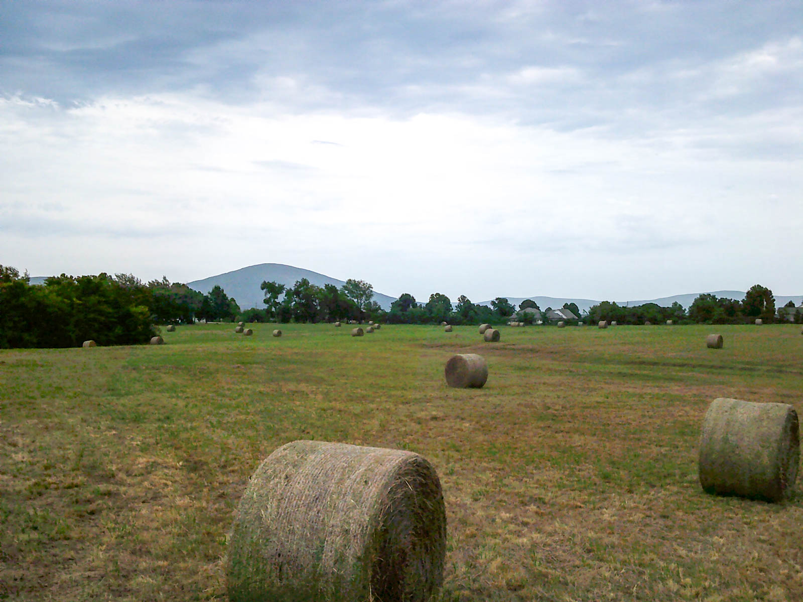
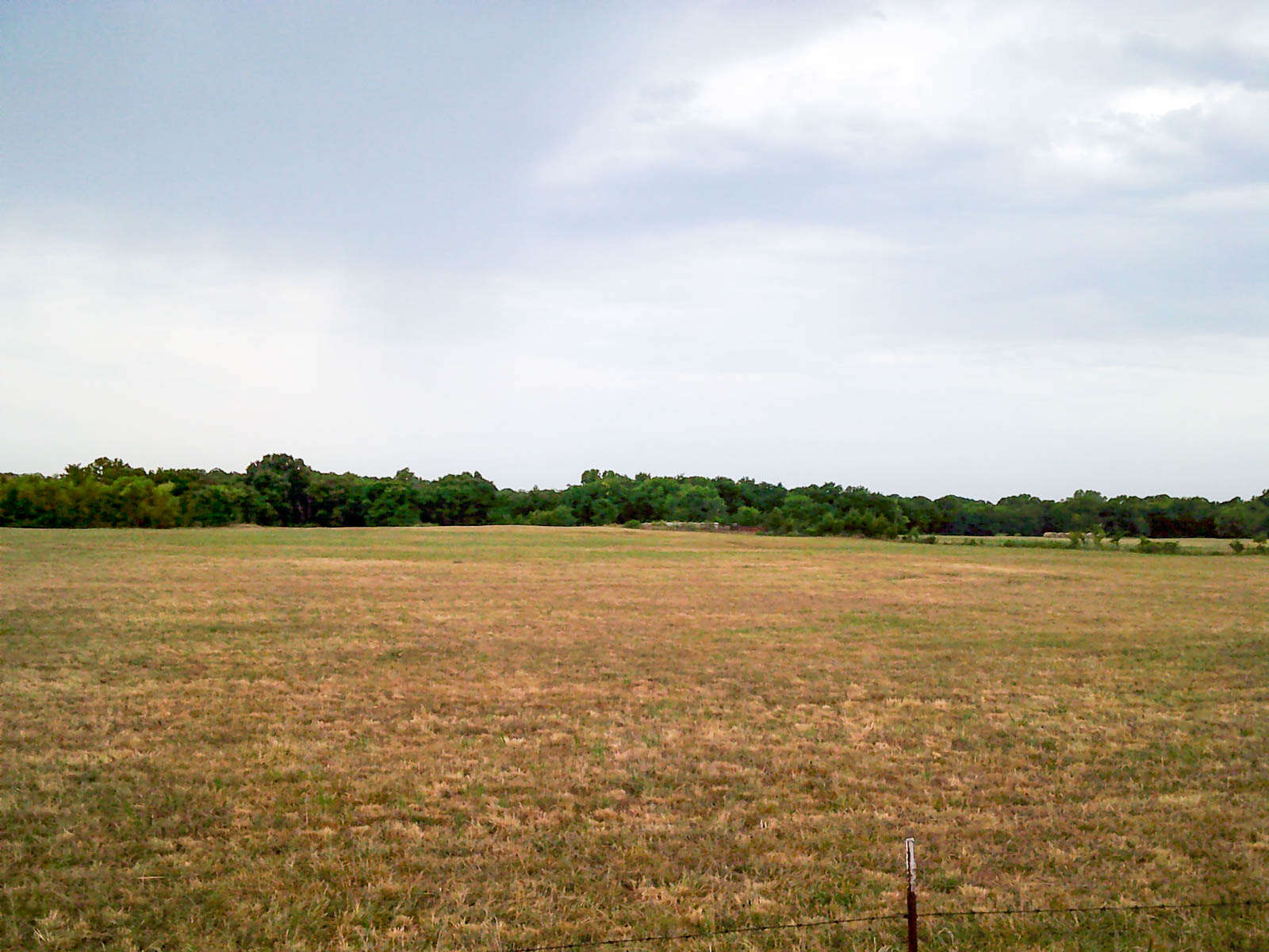
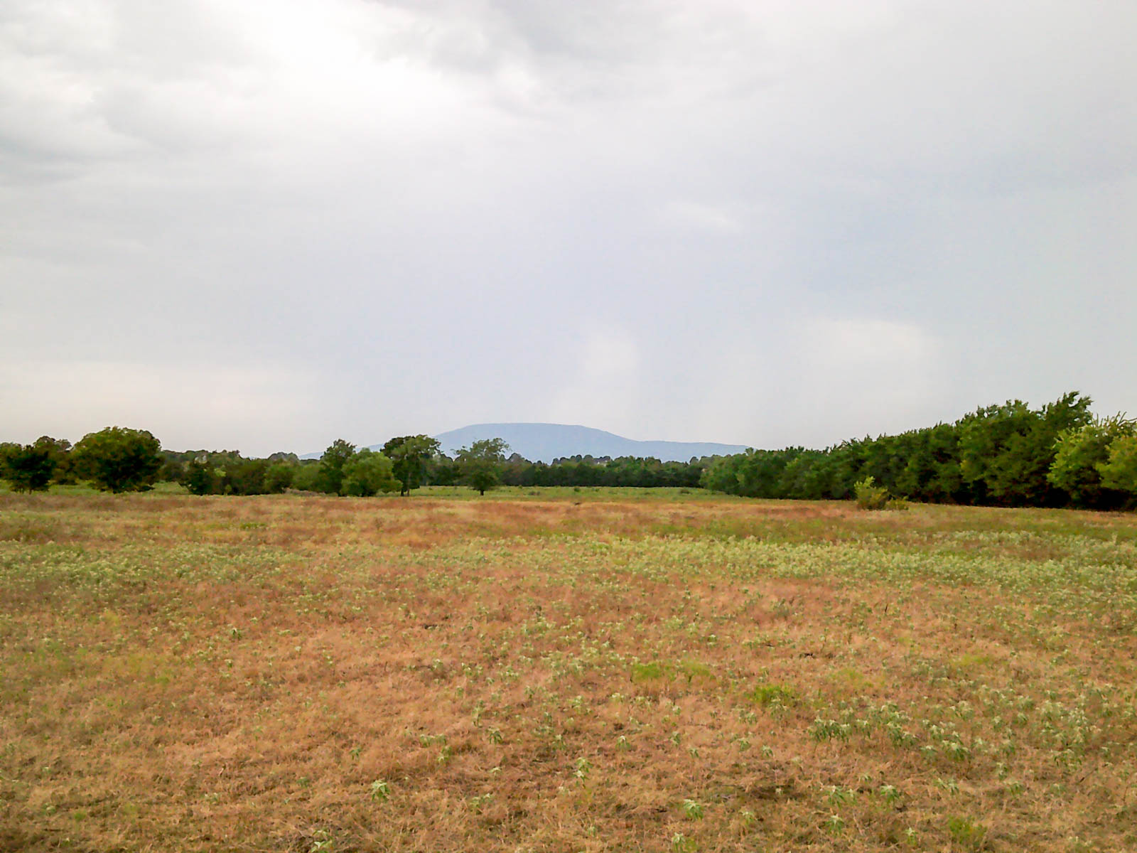
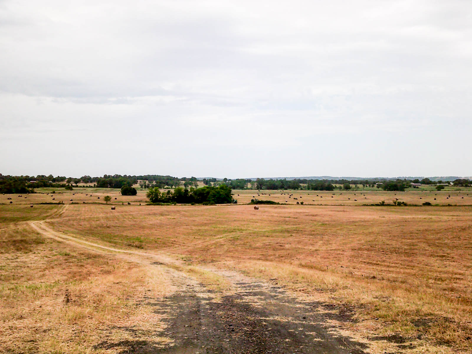
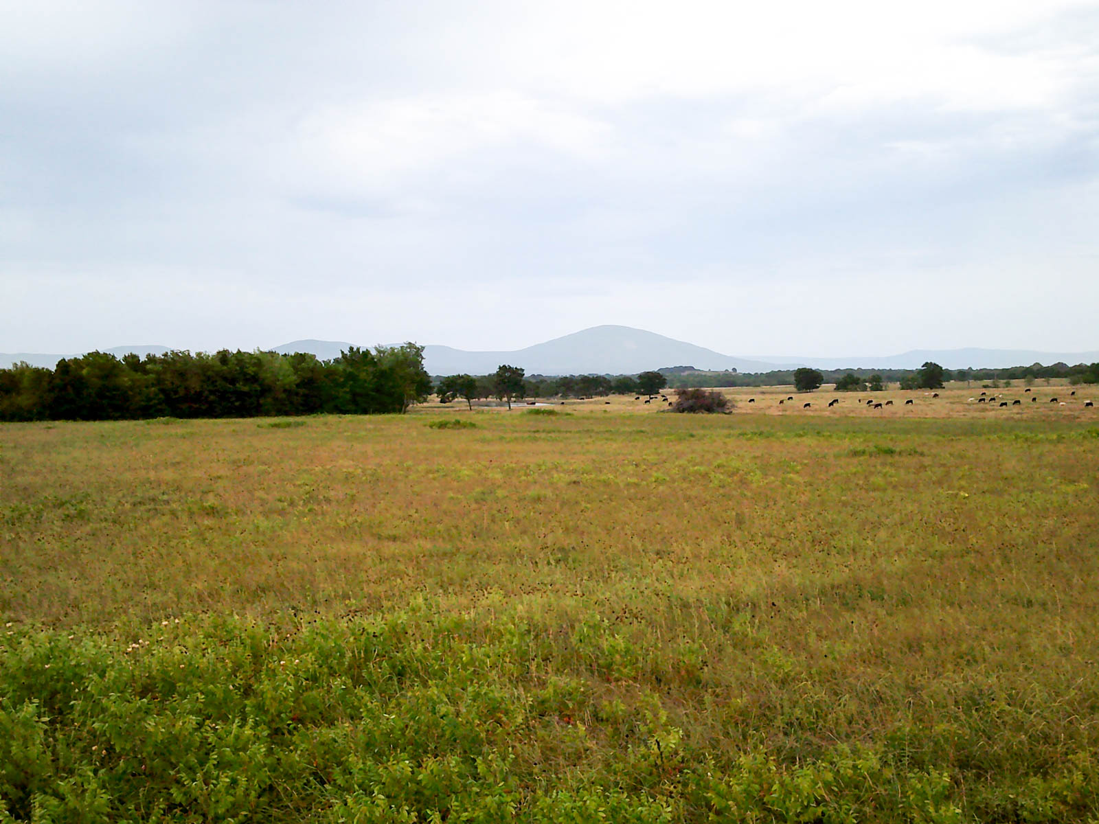
Past Auction

Eastern Oklahoma Land

This auction was on Oct 18 Cameron, OK 1,703± Deeded Acres

Executive Summary

The Eastern Oklahoma Land Auction will be offered in 17 tracts and combinations ranging from 34± acres to 320± acres. The rolling hilled tracts offer production ranch ground with well-maintained fences and water resources. There are many picturesque homesites among rolling meadows and hunting opportunities along the covered creek bottoms.

Call Hall and Hall Auctions today to request a brochure!
1-800-829-8747

Auction Date and Location:
- Tuesday, October 18th at 10:00 AM CT
- Held at the Donald W. Reynolds Community Center
105 Reynolds Ave., Poteau, OK 74953

Information Days:
- Tuesday, September 20th from 10:00 AM to 12:00 PM CT
- Thursday, October 6th from 10:00 AM to 12:00 PM CT
- Meet an auction representative to learn more about the property and auction process.
- Held at the Donald W. Reynolds Community Center
105 Reynolds Ave., Poteau, OK 74953

Just the Facts

-         Productive Grassland/Hay Ground

-         Potential Homesites – Great views.

-         Close Proximity to Fort Smith, AR, and Poteau, OK

-         Well Maintained Fences and Ponds

-         Abundant Hunting Possibilities


Click here for additional property information.

General Description

Tracts 1 & 2: Tracts 1 and 2 have Highway 112 frontage just northeast of Cameron, OK at about the mid-point between Poteau, OK and Fort Smith, AR. The ranch land has multiple ponds and good cover.

·        Tract 1 (96+/- Ac) has additional access along the west boundary and high ground on the north boundary with panoramic views of the tract and nearby mountains.

·        Tract 2 (88+/- Ac) has two old barns, corrals and is divided by Cedar Creek and the railroad.

Tracts 3 & 4: Tracts 3 and 4 are immediately accessible to Highway 112 just east of Cameron, OK, via paved road frontage. The hay farms have multiple ponds, external and cross fencing.

·        Tract 3 (100+/- Ac) has corrals and an old barn.

·        Tract 4 (300+/- Ac) has high ground on its south boundary providing panoramic views of the entire tract.

Tracts 5 - 8: Tracts 6, 7 and 8 are rolling hay fields with Highway 112 frontage just northeast of Poteau’s Walmart Supercenter. Tracts 5 and 6 have paved road frontage along their west boundary.

·        Tract 5 (40+/- Ac) is a rolling hay field that is subdivided by Pine Creek. The creek bed and neighboring wooded areas provide great cover for deer and turkey.

·        Tract 6’s (55+/- Ac) hay field is cross fenced and has a pond in the southwest corner. There is an active well site along the north boundary.

·        Tract 7 (45+/- Ac) is directly accessible via Highway 112 and has multiple hay fields divided by ponds, creek beds and cover. There is an active well site along the south boundary.

·        Tract 8 (34+/- Ac) is directly accessible from Highway 112. Its rolling hay fields are divided by a creek with good cover.

Tracts 9 - 15: The combined 846+/- contiguous acres of productive hay fields have multiple ponds and water from Riddle Creek. There is a very well-maintained road bisecting the tracts that provides immediate access to Cameron and Highway 112.

·        Tract 9 (34+/- Ac) would make a great building site, ranchette or supplement to the adjacent and larger Tract 10.

·        Tract 10 (320+/- Ac) has higher ground on the south providing panoramic view of the hay fields and bottom ground along Riddle Creek. There is great cover along the creek bottom. There is an old barn, and corrals.

·        Tract 11 (40+/- Ac) is a mostly open hay field with great development potential. The rolling hills of the property would provide multiple building sites with unabated views of the surrounding countryside and mountain ranges. There is a pond hidden among the trees on the west edge of the tract.

·        Tract 12 (81+/- Ac) is two mostly open hay fields each with a pond. There is paved access on the west and north sides of the tract.

·        Tract 13 (111+/- Ac) is primarily ranch land with two smaller hay fields, divided by Riddle Creek and the wooded cover it provides. There is paved access on the west side.

·        Tract 14 (160+/- Ac) has a pond and wooded cover provided by Riddle Creek. There is a barn and paved access and high ground on the north boundary.

·        Tract 15 (100+/- Ac) has a pond and wooded cover provided by the creek bottoms. There is paved access and high ground on the north boundary.

Tracts 16 & 17: The tracts are mostly open grass land with great cover and ponds. Both tracts have good external fences and paved road access along the east side.

·        Tract 16 (40+/- Ac) would make a nice addition to an existing ranch, ranchette or homesite.

·        Tract 17 (59+/- Ac) includes older livestock facilities. There is a nice homesite with view of the entire tract across the county road in the southeast corner. 

Learn about the locale

Location

TRACTS 1 & 2:


Directions:

From the intersection of Highway 112 and King St in Cameron, OK, proceed northeast on Highway 112 for 1.3 miles to Old Hwy 112.

·        Tract 1: Proceed north on CR N4780 to Tract 1 on the east.

·        Tract 1 & 2 Highway Frontage: Proceed northeast on Highway 112 to Tract 1 on the north and Tract 2 on the south.


Estimated Legal Description:

Tract 1: T8N-R26E Section 24: Part of the NW4 northwest of Highway 112.

Tract 2: T8N-R26E Section 24: Part of the NW4 & NE4 southeast of Highway 112; Part of the N2N2S2 Less Railway.
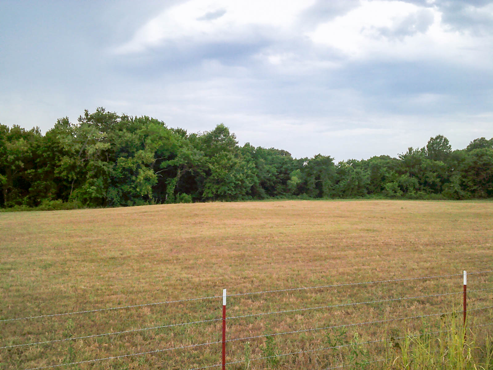
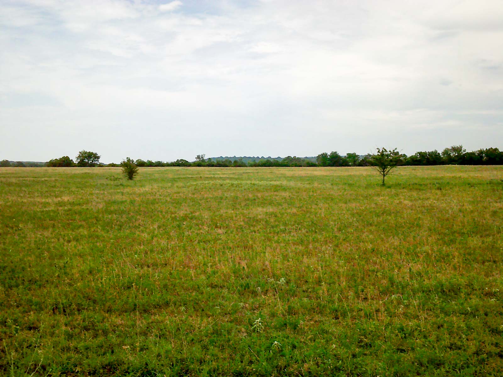

TRACTS 3 & 4:


Directions:

From the intersection of Highway 112 and King St in Cameron, OK, proceed southwest on Highway 112 for three-quarters of a mile to County Rd 74.

·        Tract 3: Turn right on County Rd 74 and proceed 1.5 miles to Bud French Rd. Continue north for one-quarter of a mile to Tract 3 on the east.

·        Tract 4: Turn right on County Rd 74 and proceed one-half mile to Tract 4 on the north.


Estimated Legal Description:

Tract 3: T8N-R26E Section 28: SW4NW4; W2SE4NW4; NW4SW4

Tract 4: T8N-R26E Section 28: SE4; E2E2SW4; E2SE4NW4
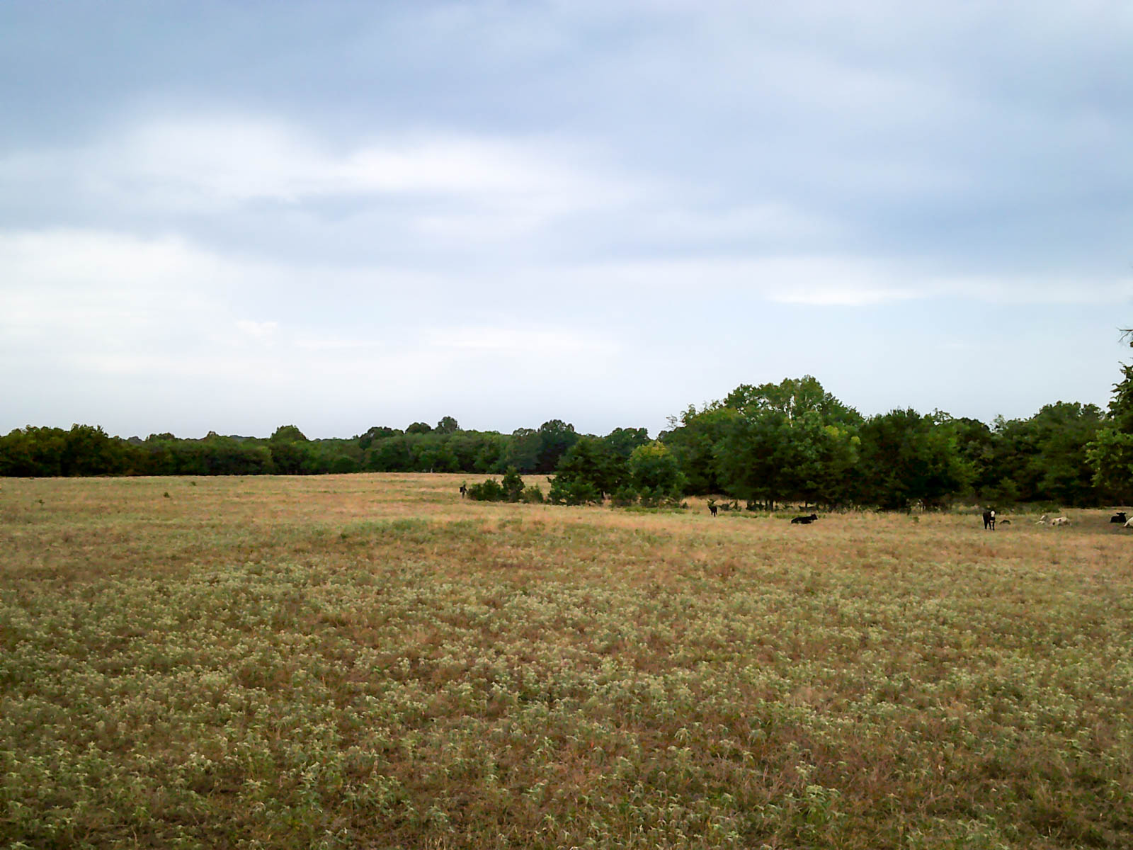
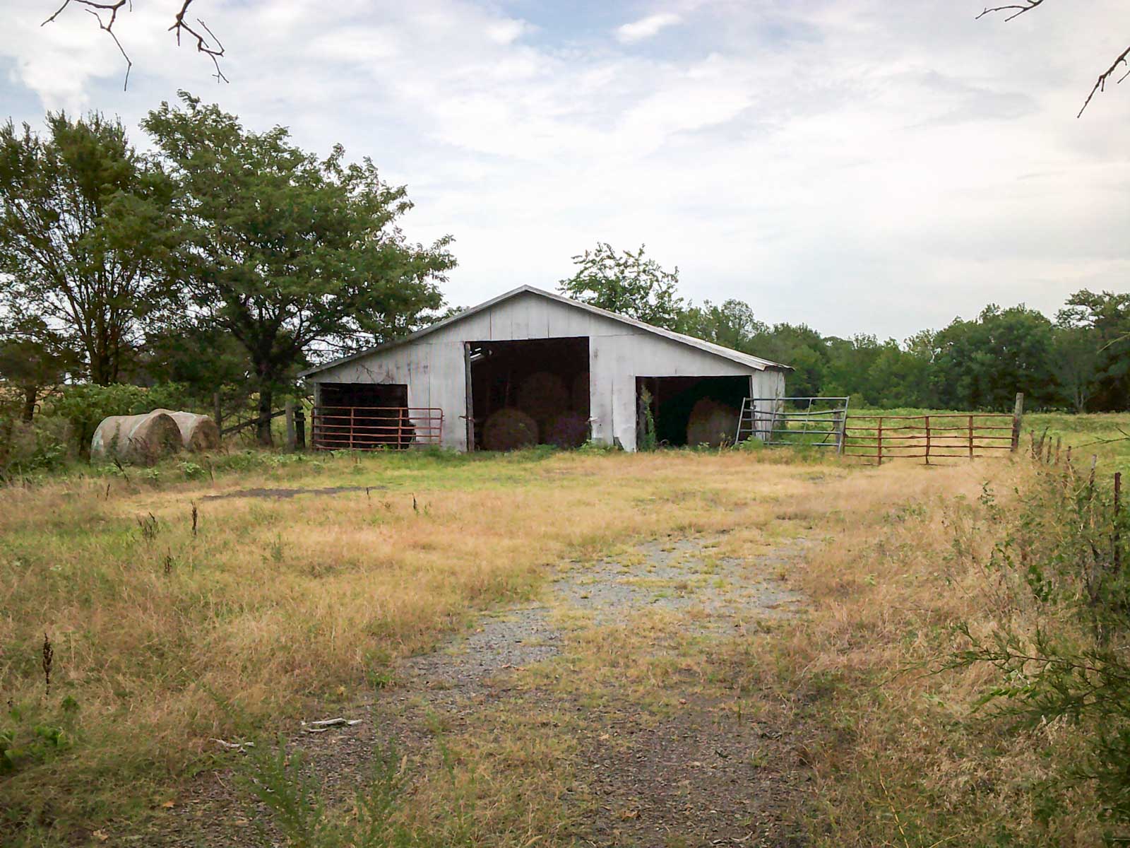

TRACTS 5 - 8:


Directions:

From the intersection of Highway 112 and King St in Cameron, OK, proceed southwest for 2.5 miles on Highway 112.

·        Tract 5: Continue southwest on Highway 112 to Fairhill Rd/CR N4740 and proceed north four-tenths of a mile to Tract 5 on the east.

·        Tract 6: Continue southwest on Highway 112 to Fairhill Rd/CR N4740 and proceed north one-tenth of a mile to Tract 6 on the east.

·        Tracts 6, 7 & 8 Highway Frontage: Proceed southwest on Highway 112 to Tracts 6 and 7 on the north and Tract 8 on the south.


Estimated Legal Description:

Tract 5: T8N-R26E Section 32: SW4NW4

Tract 6: T8N-R26E Section 32: N2SW4, All parts northwest of Highway 112

Tract 7: T8N-R26E Section 32: SW4NE4; NW4SE4, All parts northwest of Highway 112

Tract 8: T8N-R26E Section 32: NW4SE4, N2SW4, All parts southeast of Highway 112
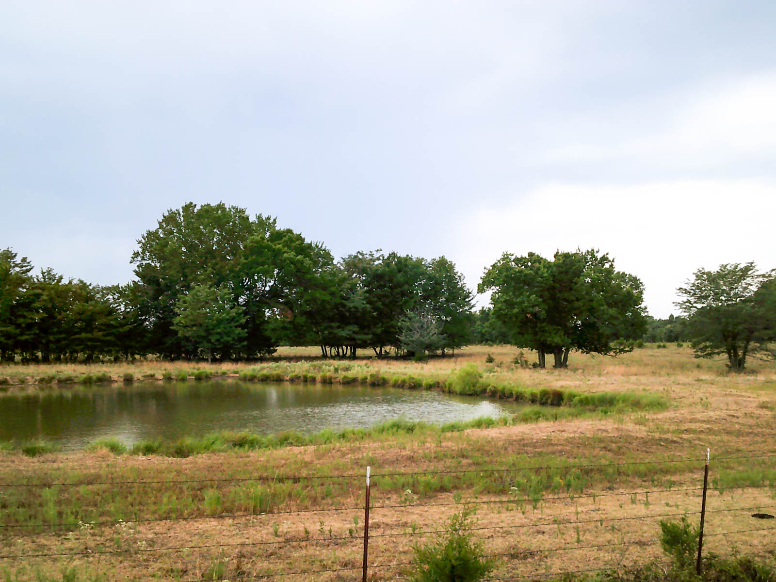
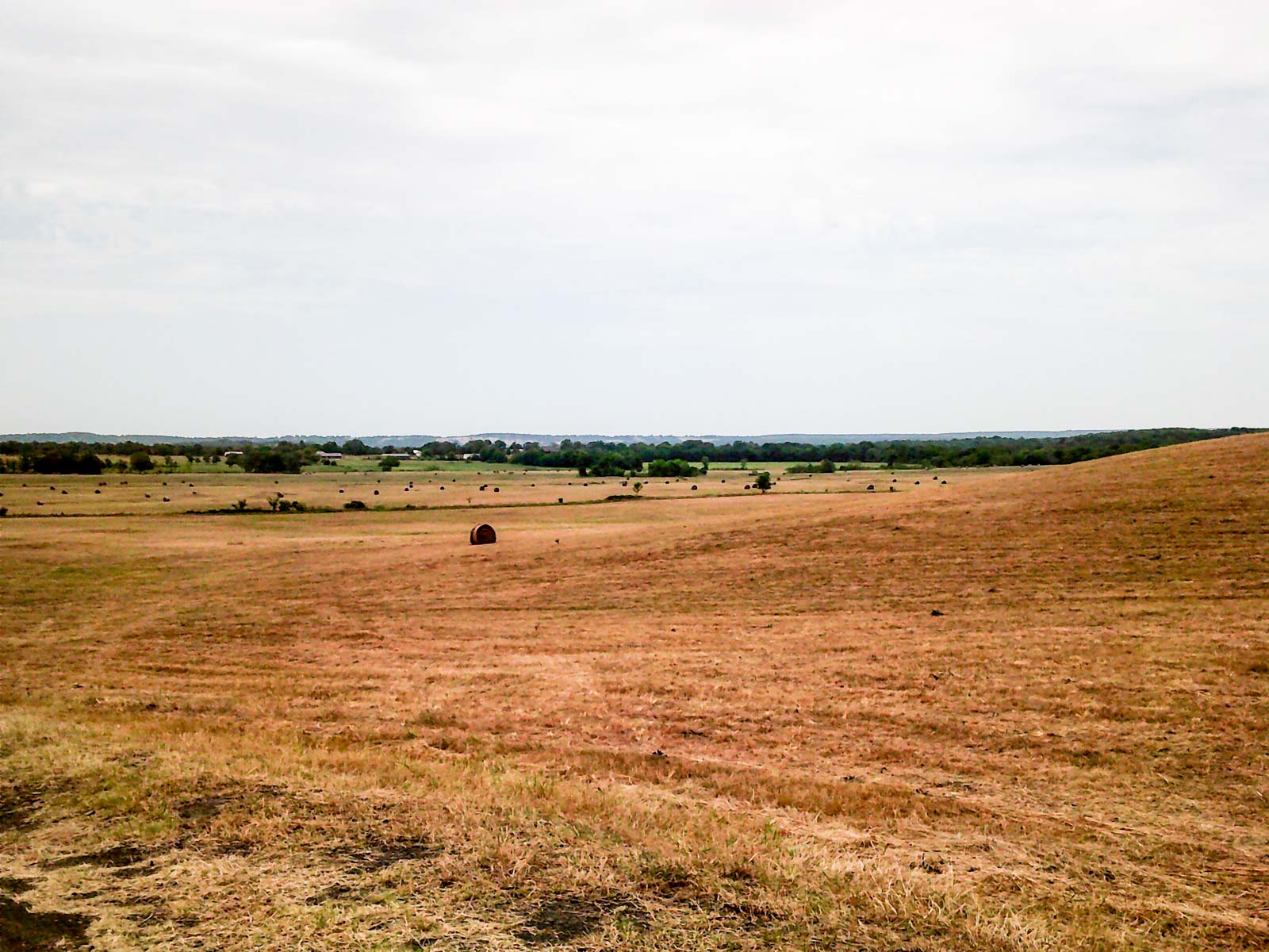

TRACTS 9 - 15:


Directions:

From the intersection of Highway 112 and King St in Cameron, OK, proceed southeast on King St for four-tenths of a mile to W Main St. Proceed southwest on W Main St for eight-tenths of a mile and veer south onto County Rd N4770.

·        Tract 9 begins on the west side of the road immediately after crossing the railroad tracts.

·        Tract 10 begins on the west side of the road one-half mile after the railroad tracts.

·        Tract 11: Proceed 1.5 miles south on County Rd N4770 to Meadow View Rd. Proceed west on Meadow View Rd for one-quarter of a mile to Tract 11 on the south side of the road.

·        Tract 12 begins on the east side of the road one-half mile after the railroad tracts.

·        Tract 13 begins on the east side of the road three-quarters of a mile after the railroad tracts.

·        Tract 14: Proceed one-half of a mile south on County Rd N4770 to County Rd 76. Proceed east on County Rd 76 for one-half a mile to Tract 14 on the south side of the road.

·        Tract 15: Proceed one-half of a mile south on County Rd N4770 to County Rd 76. Proceed east on County Rd 76 for one mile to Tract 15 on the south side of the road.


Estimated Legal Description:

Tract 9: T8N-R26E Section 34: E2SE4, All parts southeast of the Railway

Tract 10: T7N-R26E Section 3: All parts southeast of Railway

Tract 11: T7N-R26E Section 10: NW4NE4

Tract 12: T7N-R26E Section 2: N2NW4

Tract 13: T7N-R26E Section 2: S2NW4; N2NW4SW4; N2S2NW4SW4

Tract 14: T7N-R26E Section 2: NE4

Tract 15: T7N-R26E Section 2: W2NW4; N2NE4NW4


TRACTS 16 & 17:


Directions:

From the intersection of Highway 112 and King St in Cameron, OK, proceed southeast on King St for four-tenths of a mile to W Main St. Proceed southwest on W Main St for eight-tenths of a mile and veer south onto County Rd N4770. Proceed south on Country Rd N4770 for two miles to County Rd E1325. Proceed east on Country Rd E1325 for two miles to County Rd N4790.

·        Tract 16: Proceed south on Country Rd N4790 for three-quarters of a mile to Tract 16 on the west.

·        Tract 17: Proceed south on Country Rd N4790 for one mile to Tract 17 on the west.


Estimated Legal Description:

Tract 16: T7N-R26E Section 13: SE4NE4

Tract 17: T7N-R26E Section 13: NE4SE4f, Less County Road; NE4SE4SE4; Part of the NW4SE4

Locale

The property runs through the Poteau River Valley between Cavanal Hill to the west and the Sugerloaf Mountain Range to the southeast. Most tracts have unabated views of the surrounding mountains with rolling hills and several beautiful building sites. The property boasts ample water, well-maintained fences and good cover for deer and turkey along the James Fork Creek and its tributaries.


Distance to the Following Cities Centers:

-         Poteau, OK: 9 Miles

-         Fort Smith, AR / I-540: 15 Miles

-         Greenwood, AR: 20 Miles

-         Sallisaw, OK / I-40: 39 Miles

-         Tulsa, OK: 130 Miles

-         Oklahoma City, OK: 195 Miles

-         Dallas, TX: 244 Miles

Learn more about the property

Acreage (Deeded & Leased)

Deeded Acres: 1,703±
Total Leased Acres:
Total Acres: 1,703±

Mineral Rights

Mineral rights will not transfer to the new owners. There is a current lease on the property and oil production on Tract 6 and Tract 7.

Learn about the general operations

Leases and Permits

The property is not encumbered by a farm or ranch lease and will be immediately available to the new owners.

Back to Overview

Terms

Summary of Terms:

-         10% earnest money deposit of the purchase price will be due immediately from all successful bidders.

-         A 5% buyer’s premium will be added to the high bid to determine the total purchase price.

-         The property is being sold “AS IS, WHERE IS” and without any contingencies, including financing.

-         Closing will be set 45 days from the auction date or as soon thereafter as closing documents are available.

-         Broker participation is available. Contact our auction office for details.

Other Properties

More Like This

Davis Farm

Holdenville, OK

Functional cattle ranch and hay farm in Hughes County with 678± deeded acres. Improvements include a remodeled brick farmhouse, working pens, three irrigation pivots, ten ponds, and two live creeks.

678± Deeded Acres
$2,952,432
View Property Details

Bird Creek Crossing

Holdenville, OK

Recreational cattle ranch and hay farm comprised of 394.36± deeded acres in Hughes County, Oklahoma. Improvements include a brick farmhouse, barn, workshop, eleven ponds, and one-and-a-half miles of Bird Creek.

395± Deeded Acres
$1,540,500
View Property Details

A well-balanced estate encompassing 800± acres, a thoughtfully designed lodge, varied topography, and abundant water. Hay pastures with sensible horse improvements, mature timber, a private lake, and frontage on Roland Lake.

800± Deeded Acres
$9,950,000
View Property Details

Riverfront acreage of 1,271± with Highway 62 frontage. Recreational agricultural land with water and electricity available on-site. Combination of grazing with big timber, drastic elevation, and abundant water.

1,271± Deeded Acres
$3,500,000
View Property Details