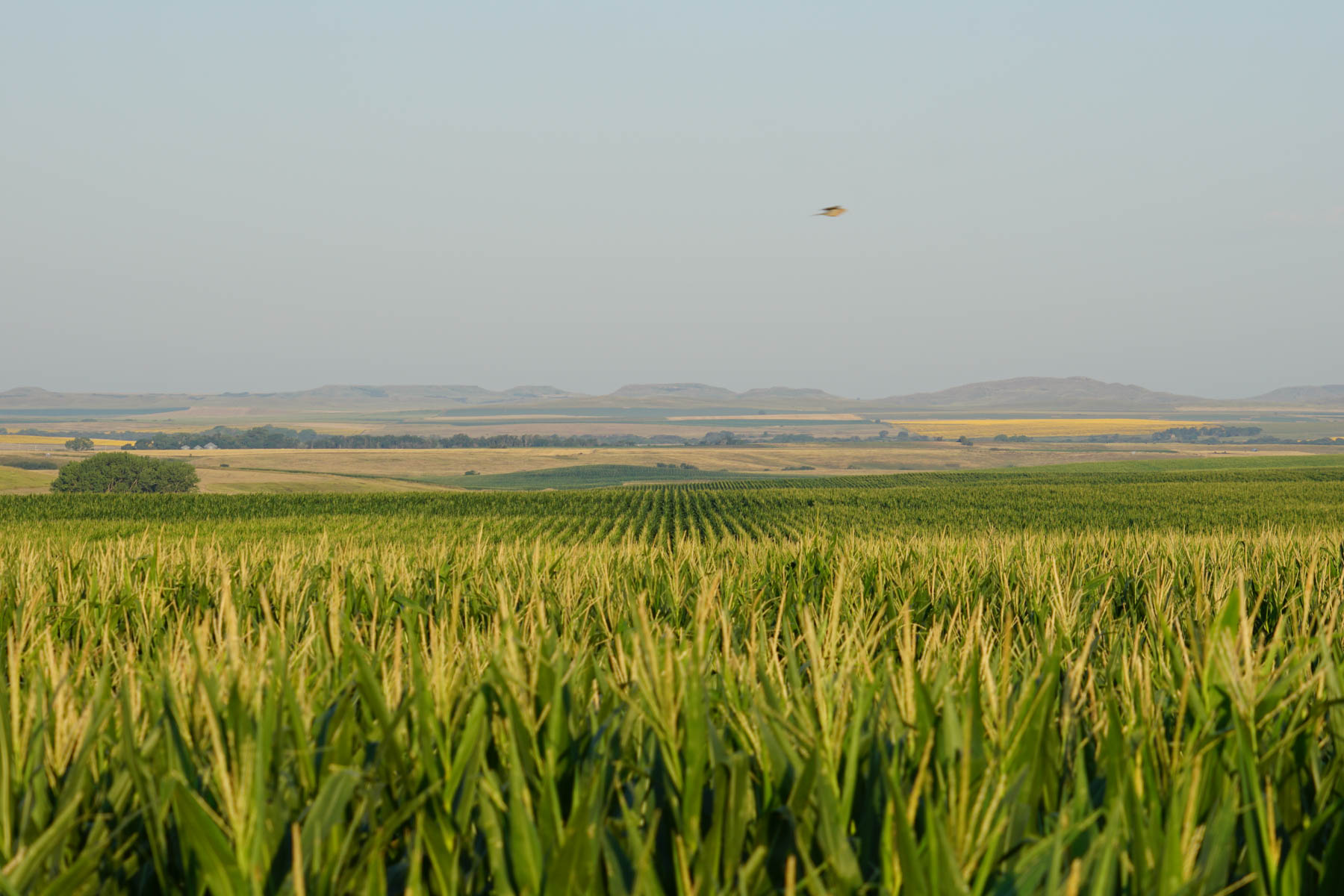
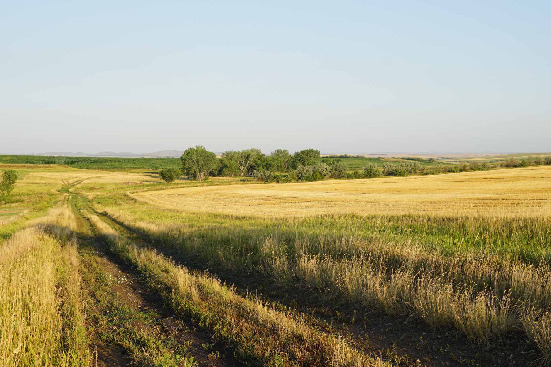
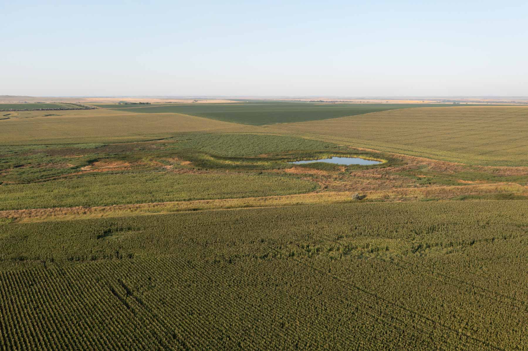
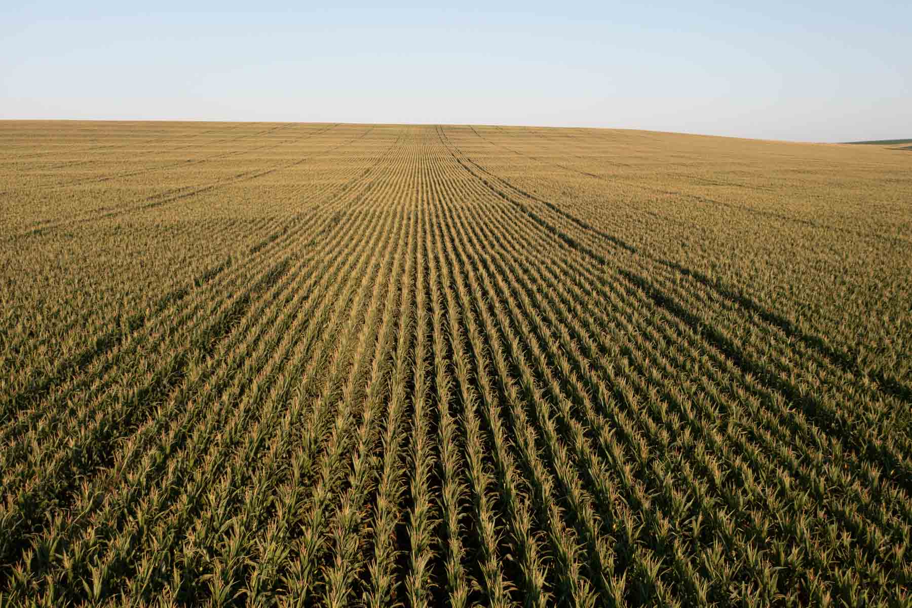
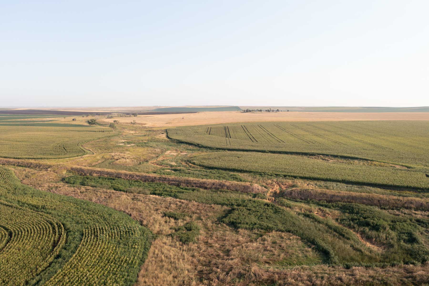
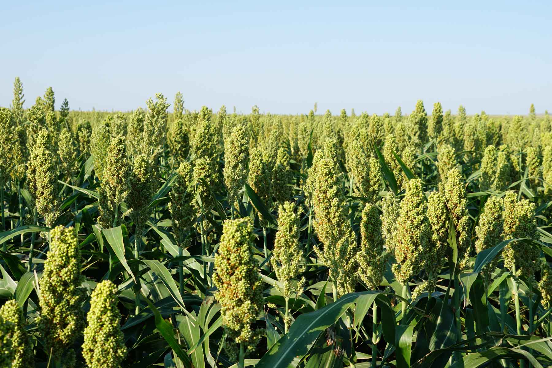
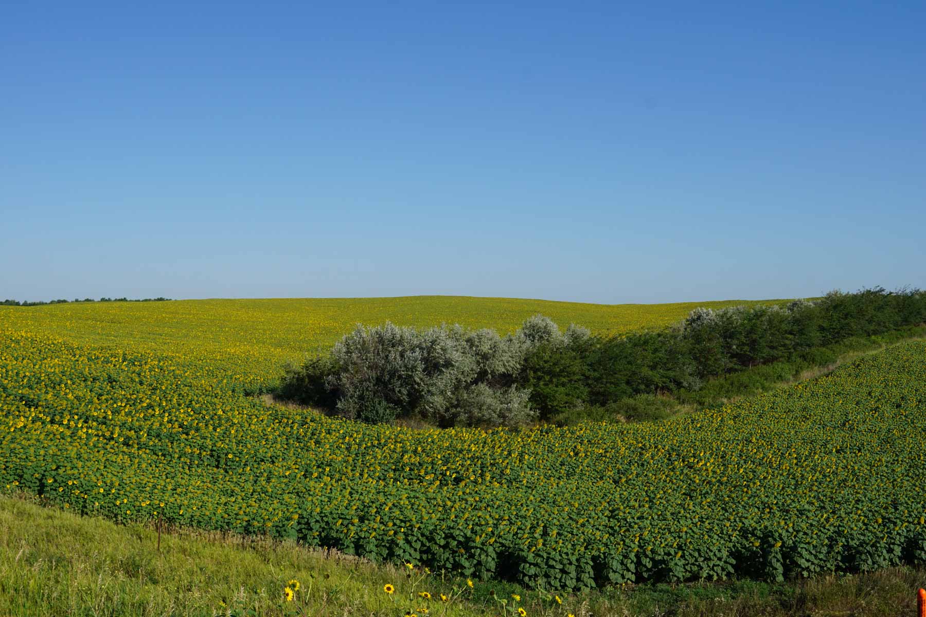
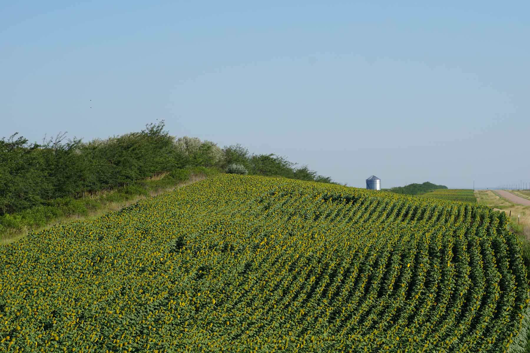
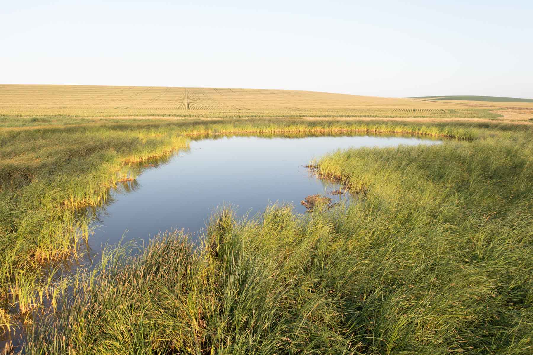
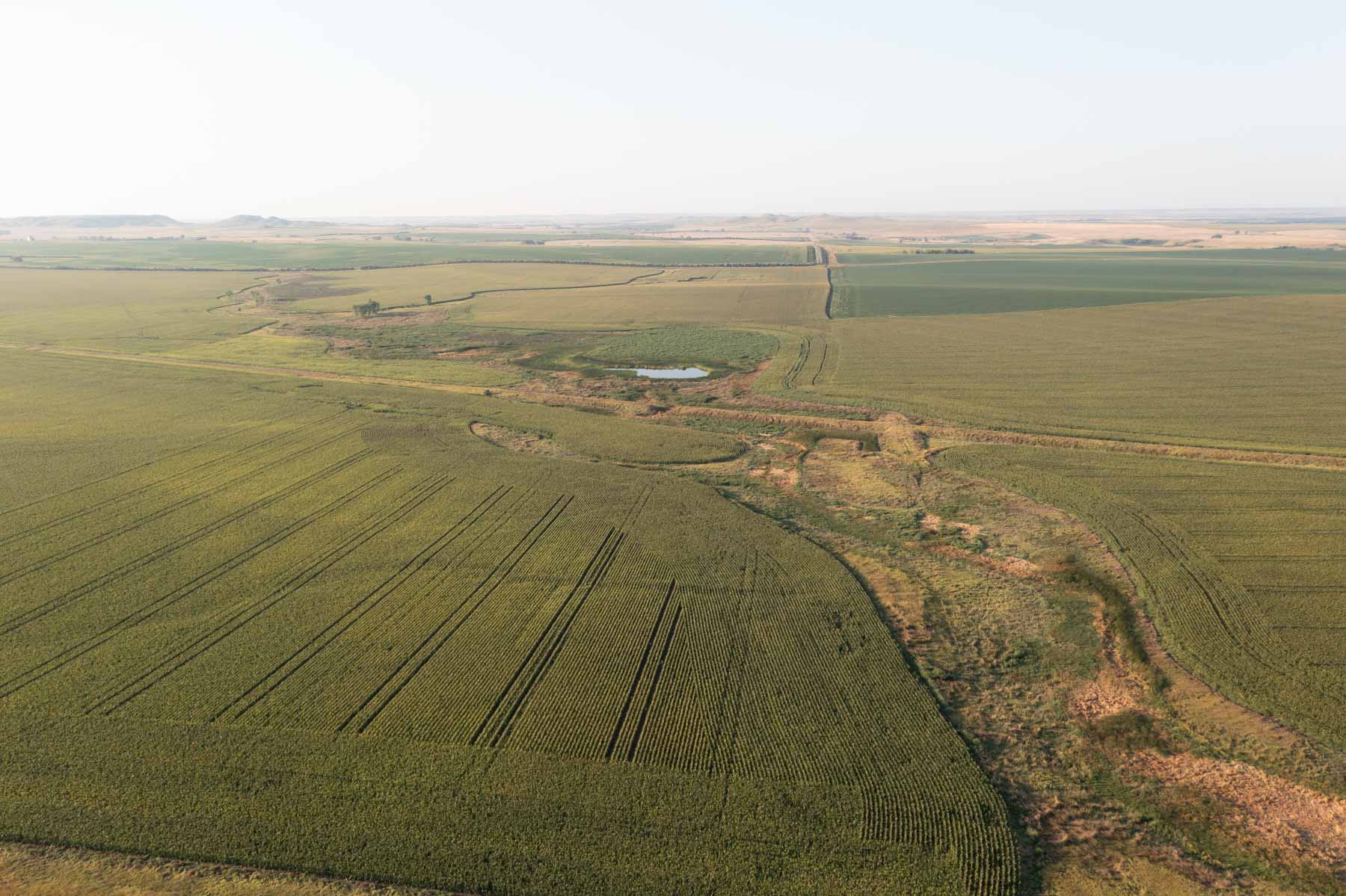
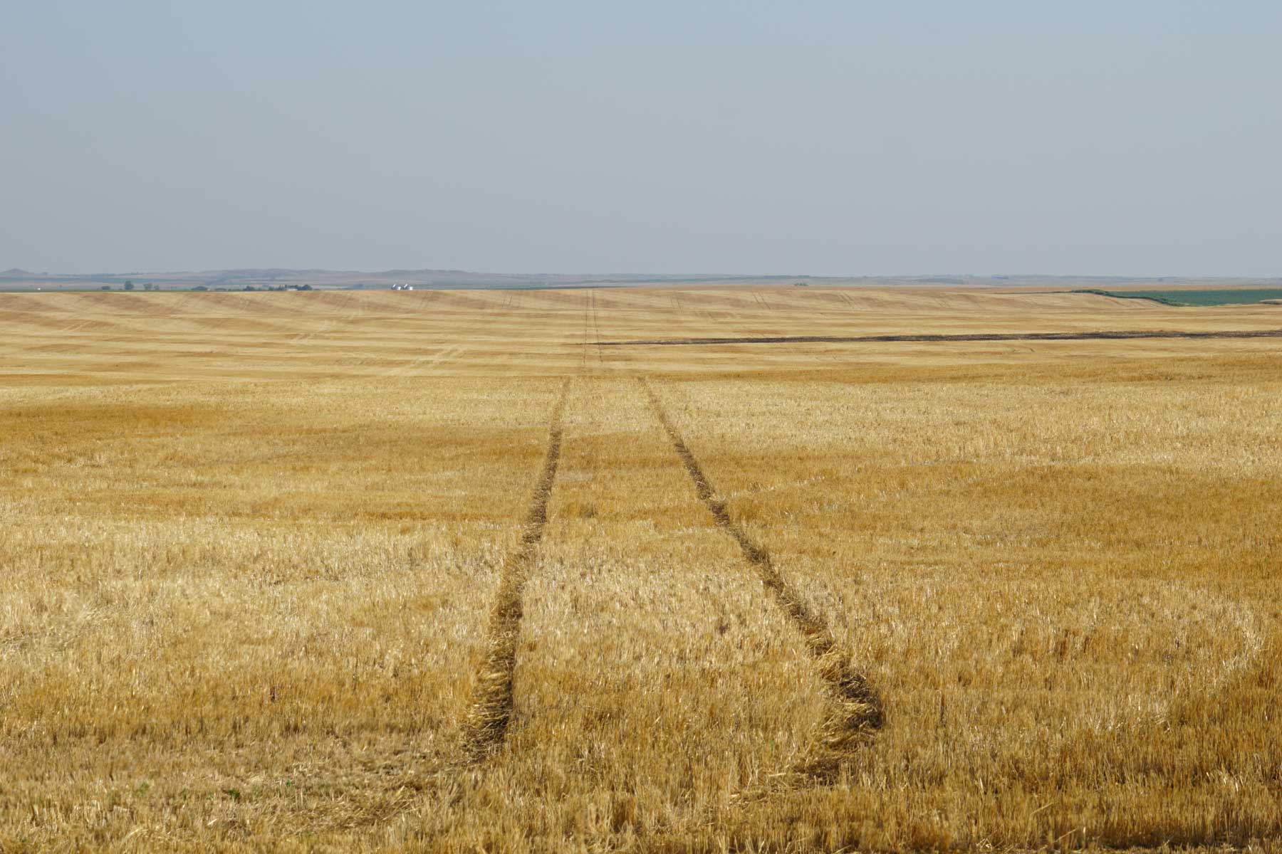
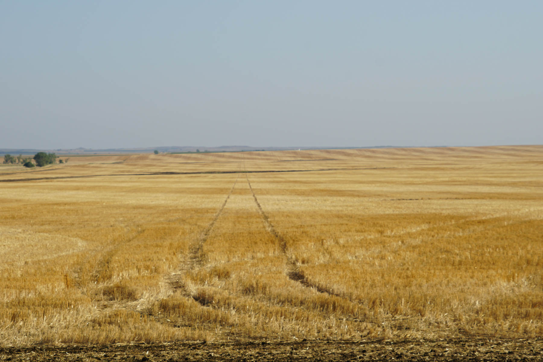
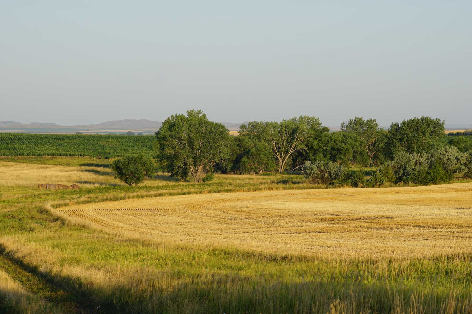
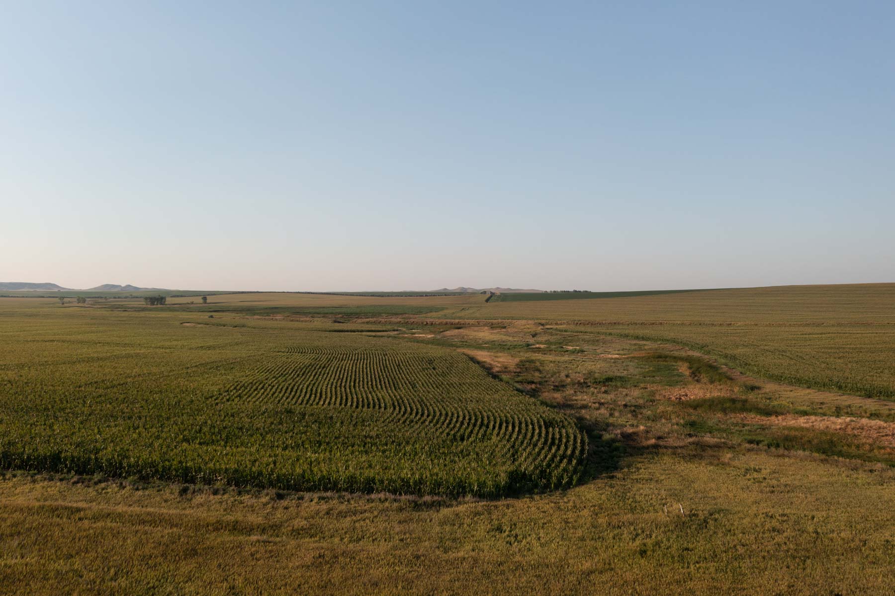
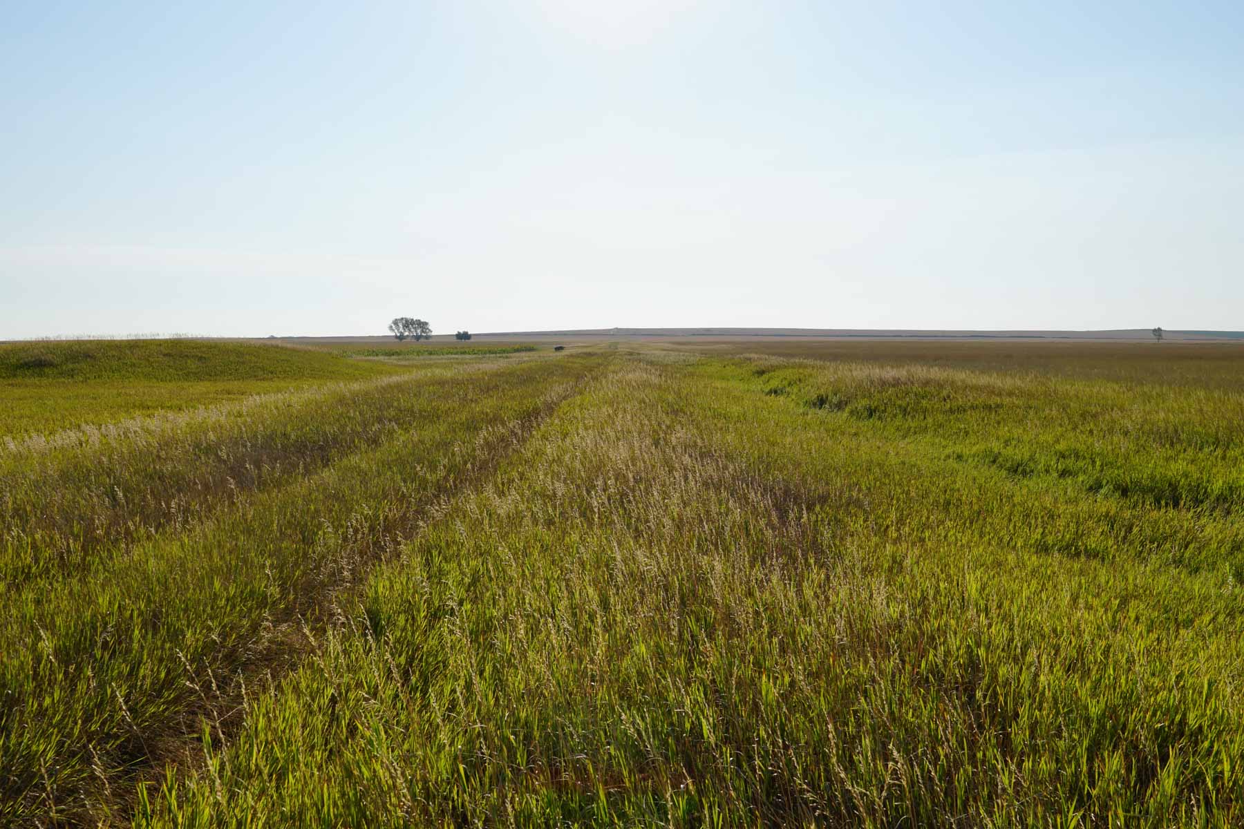
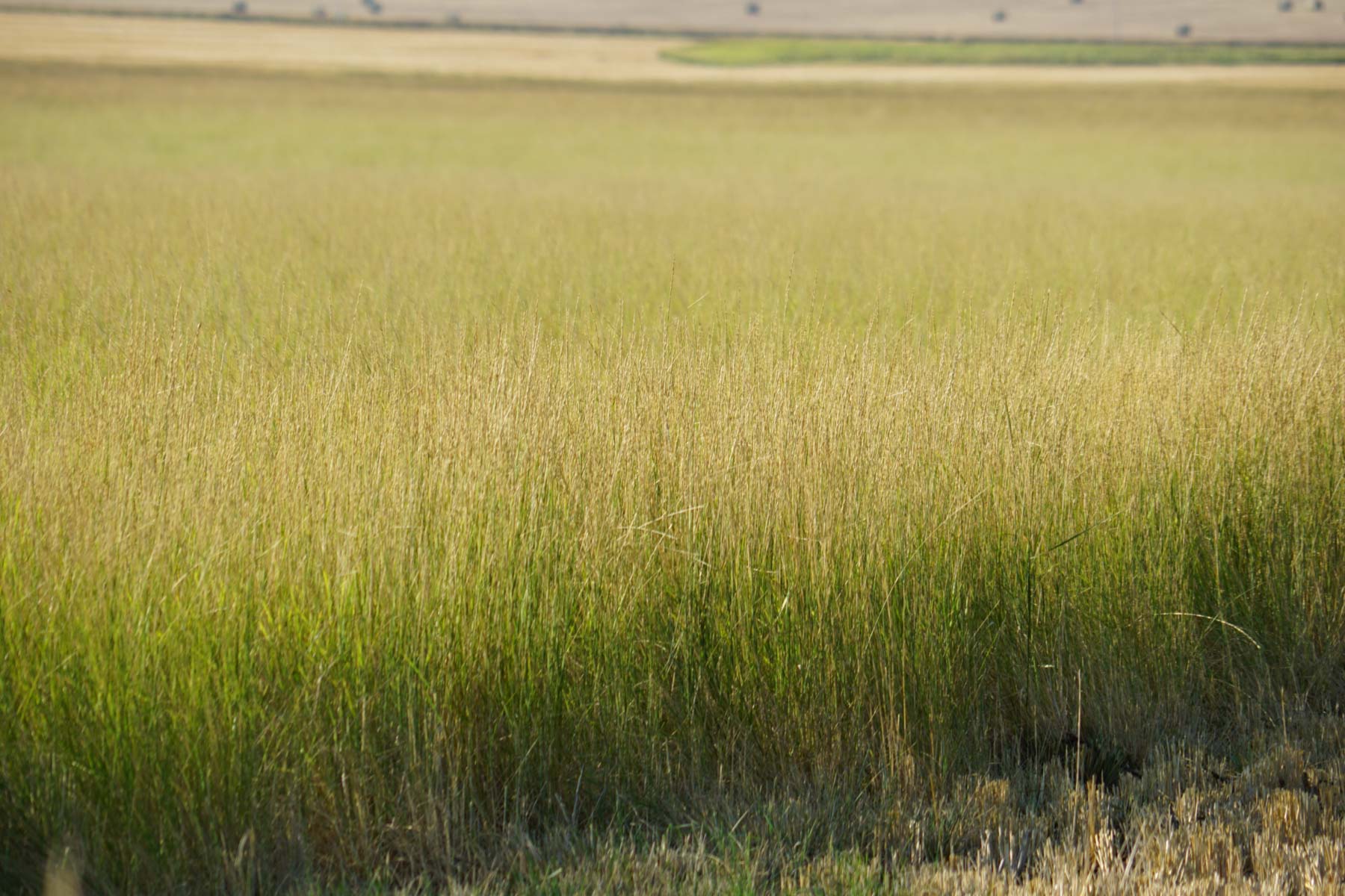
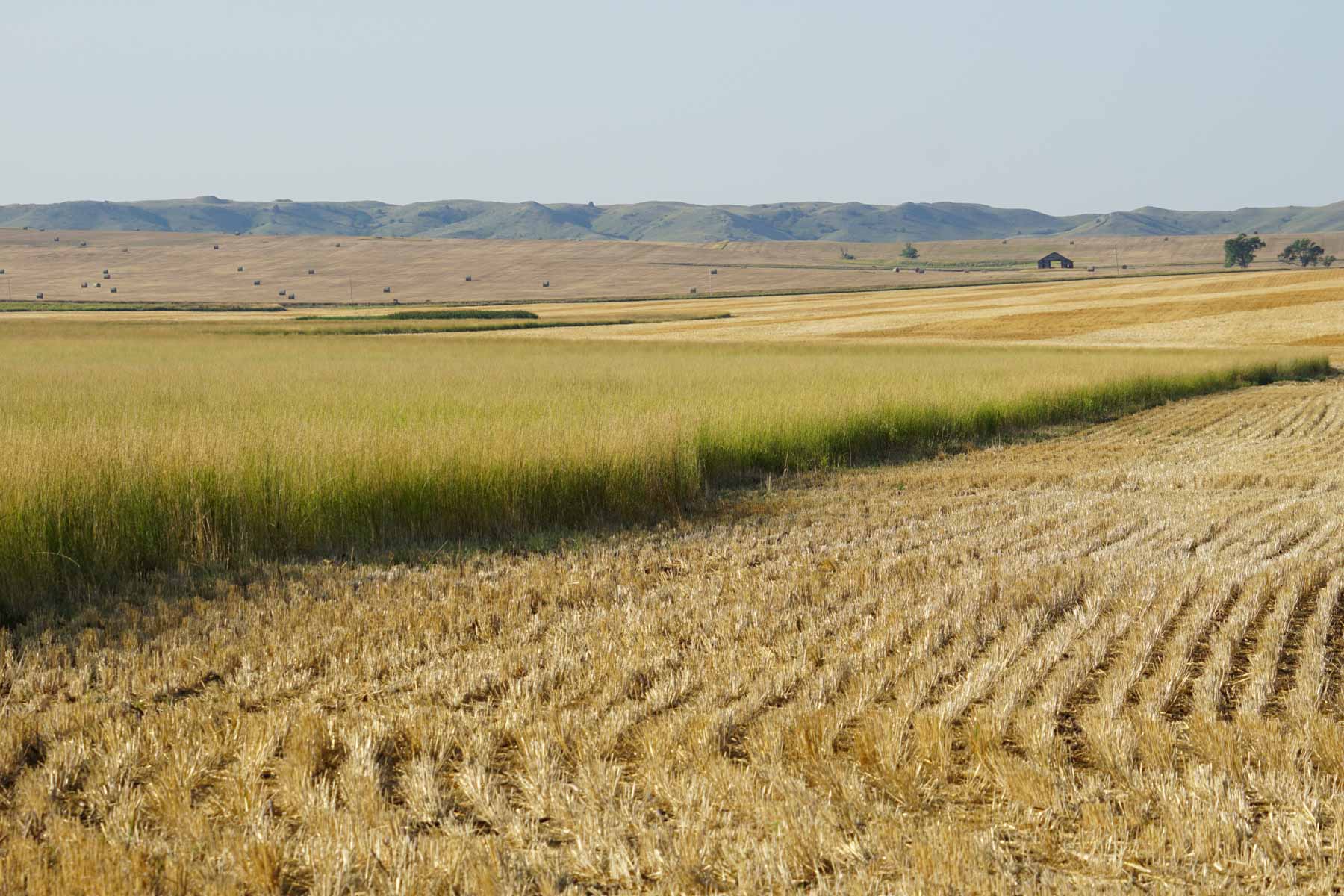
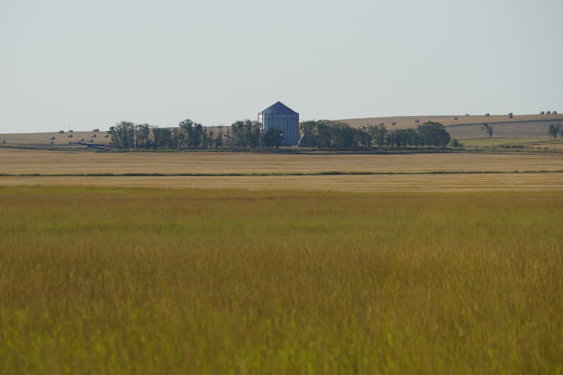
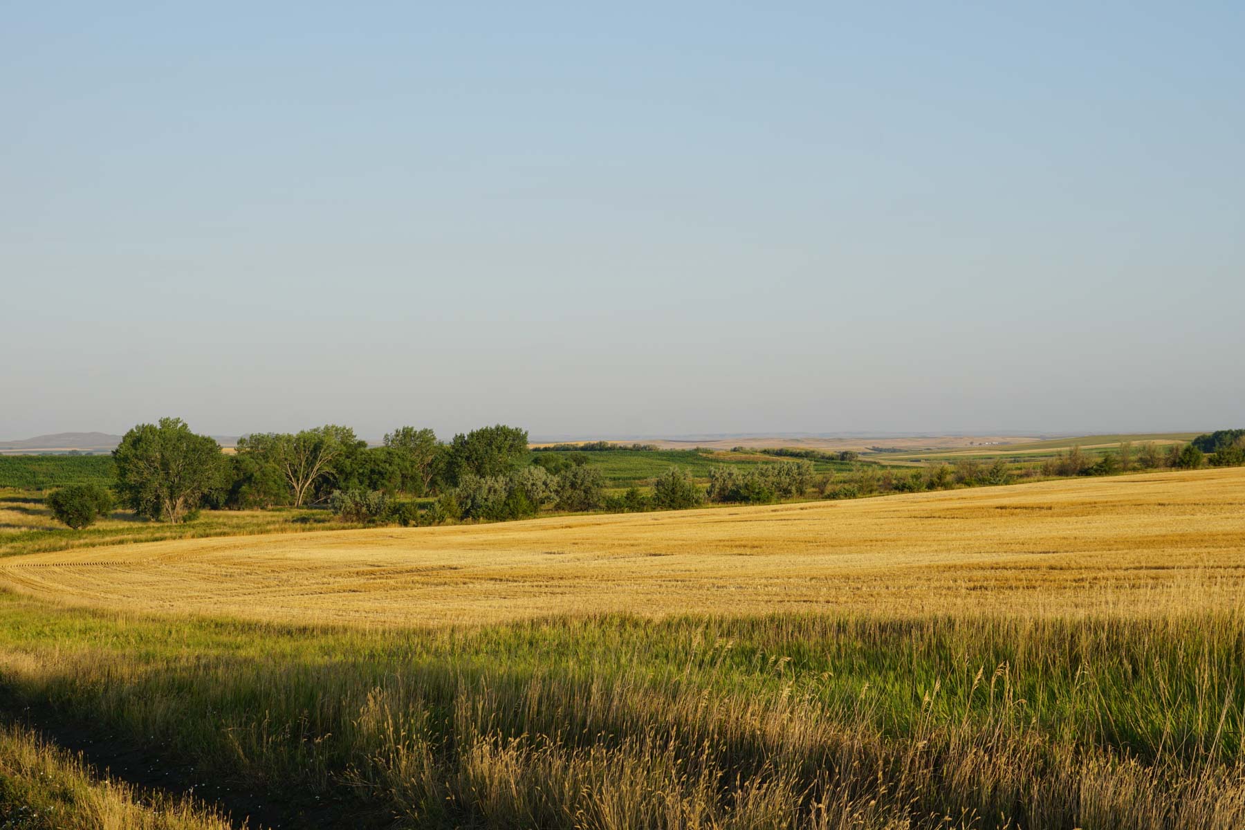
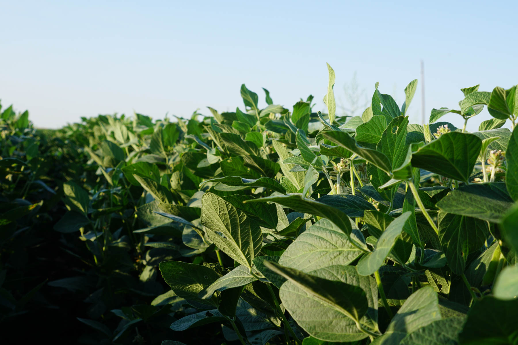
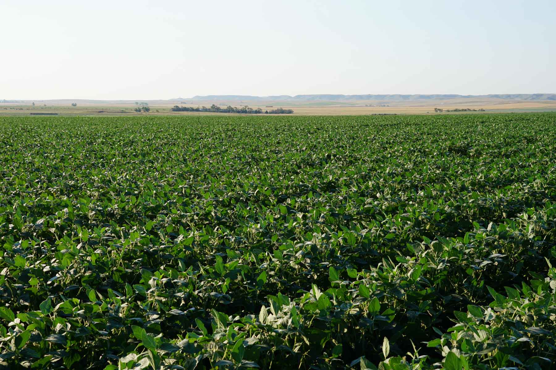
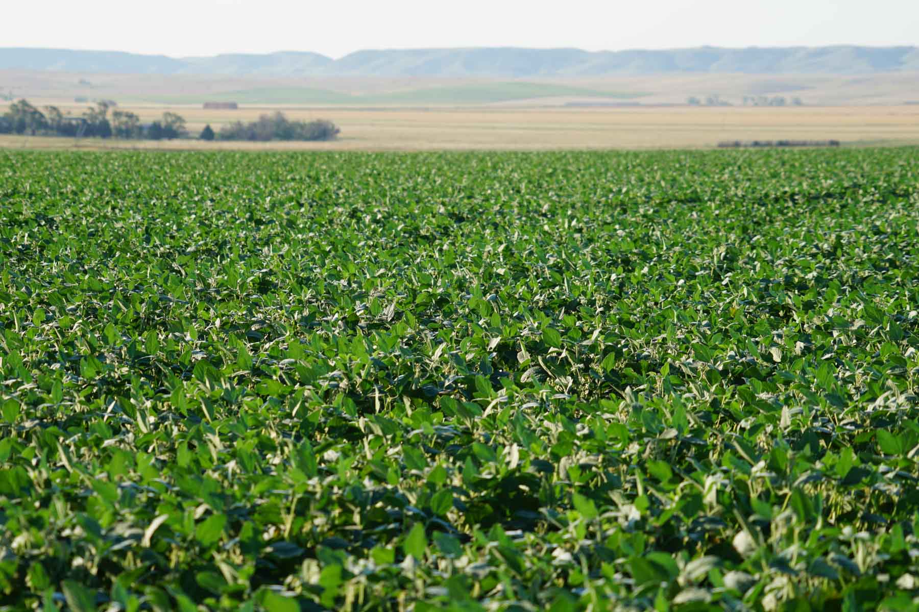
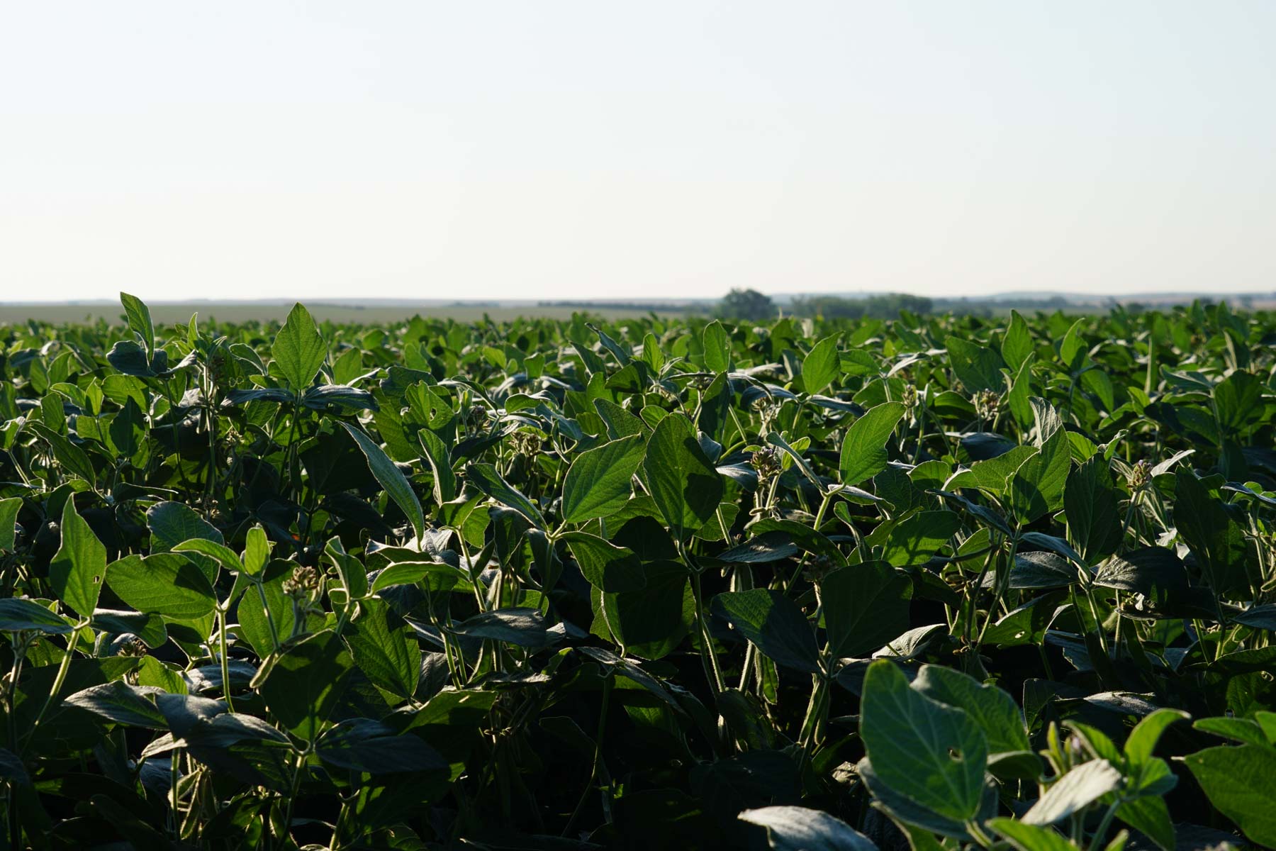
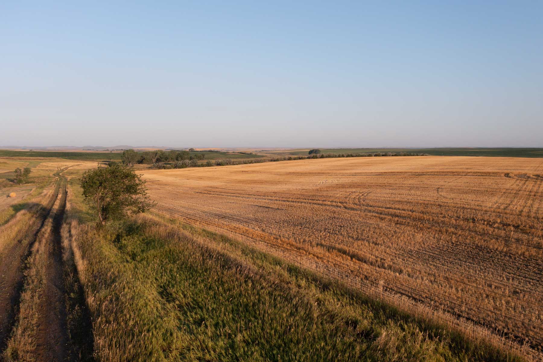
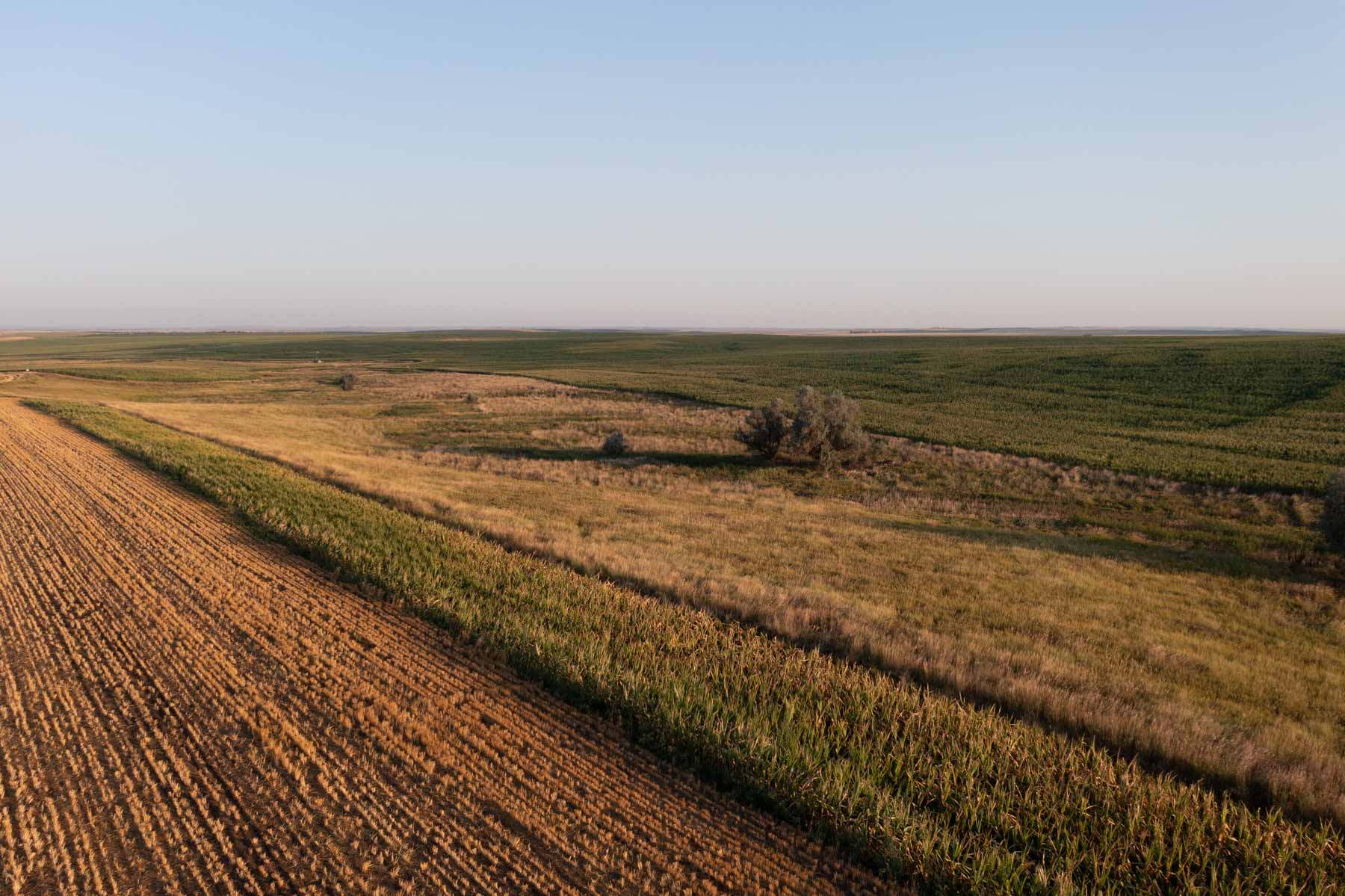
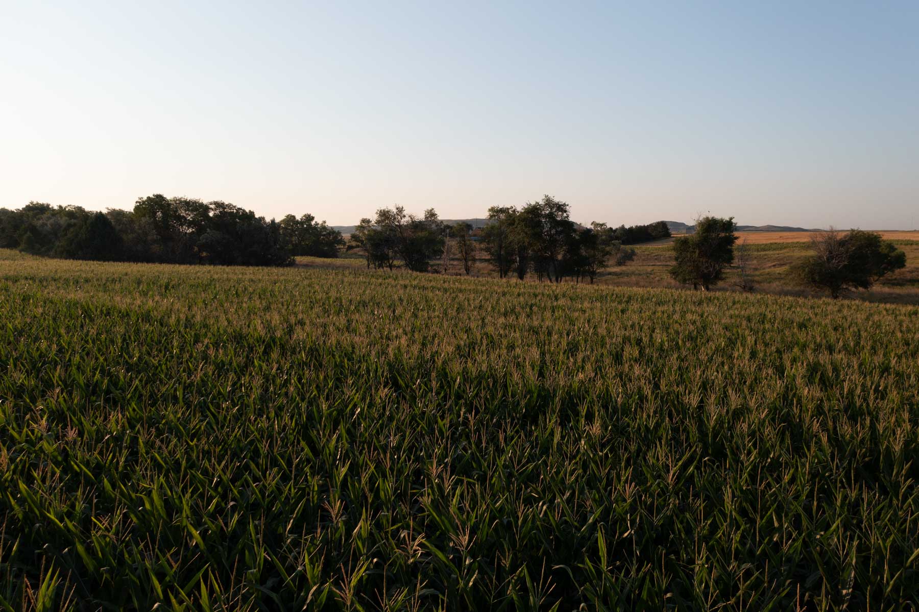
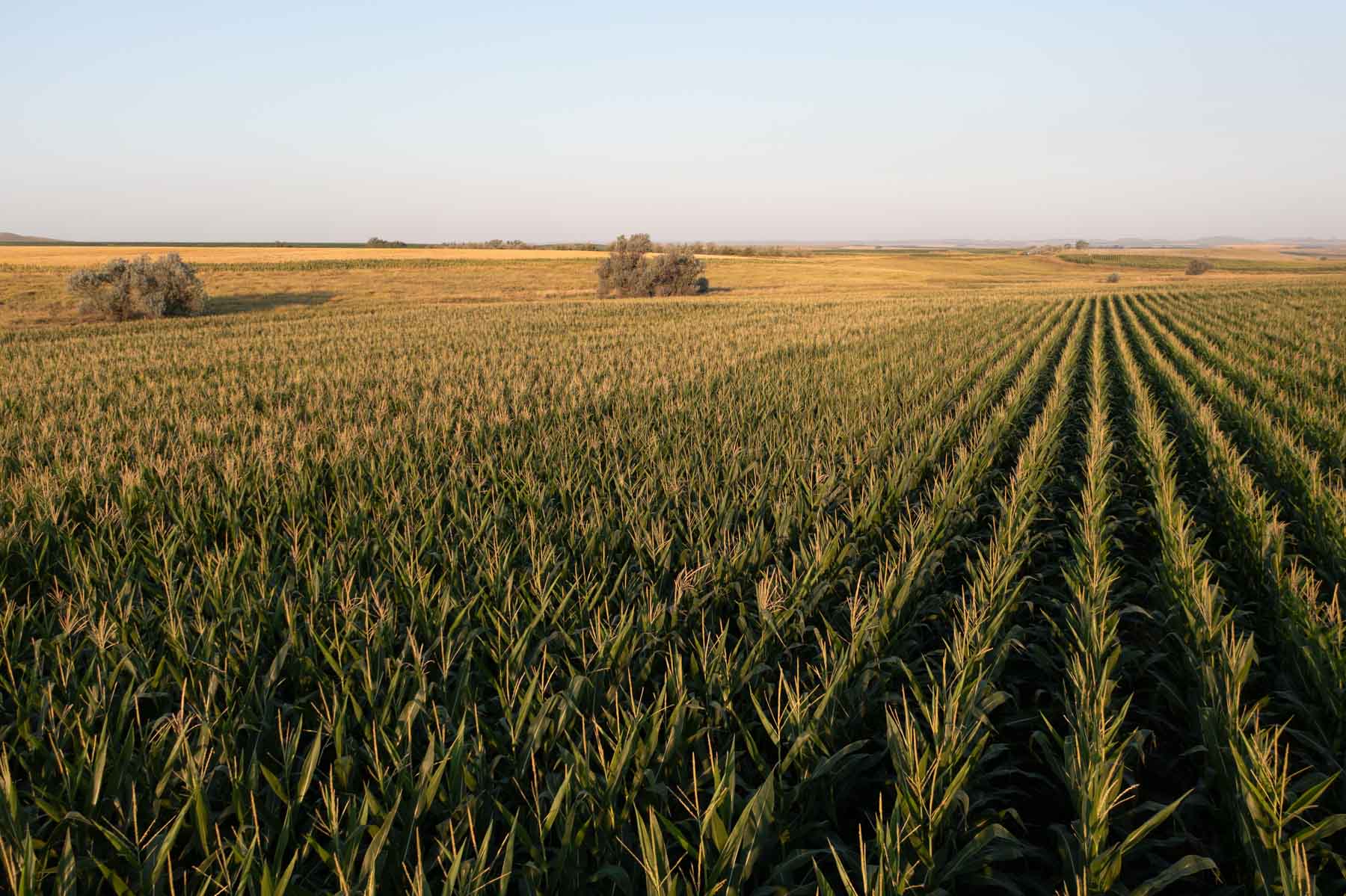
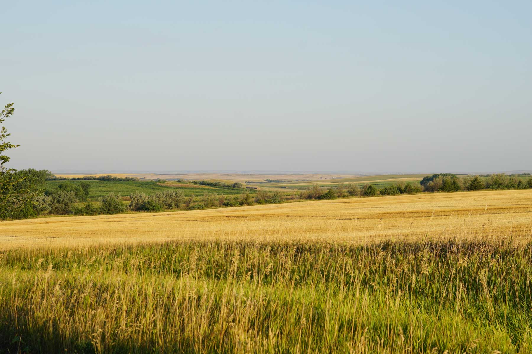
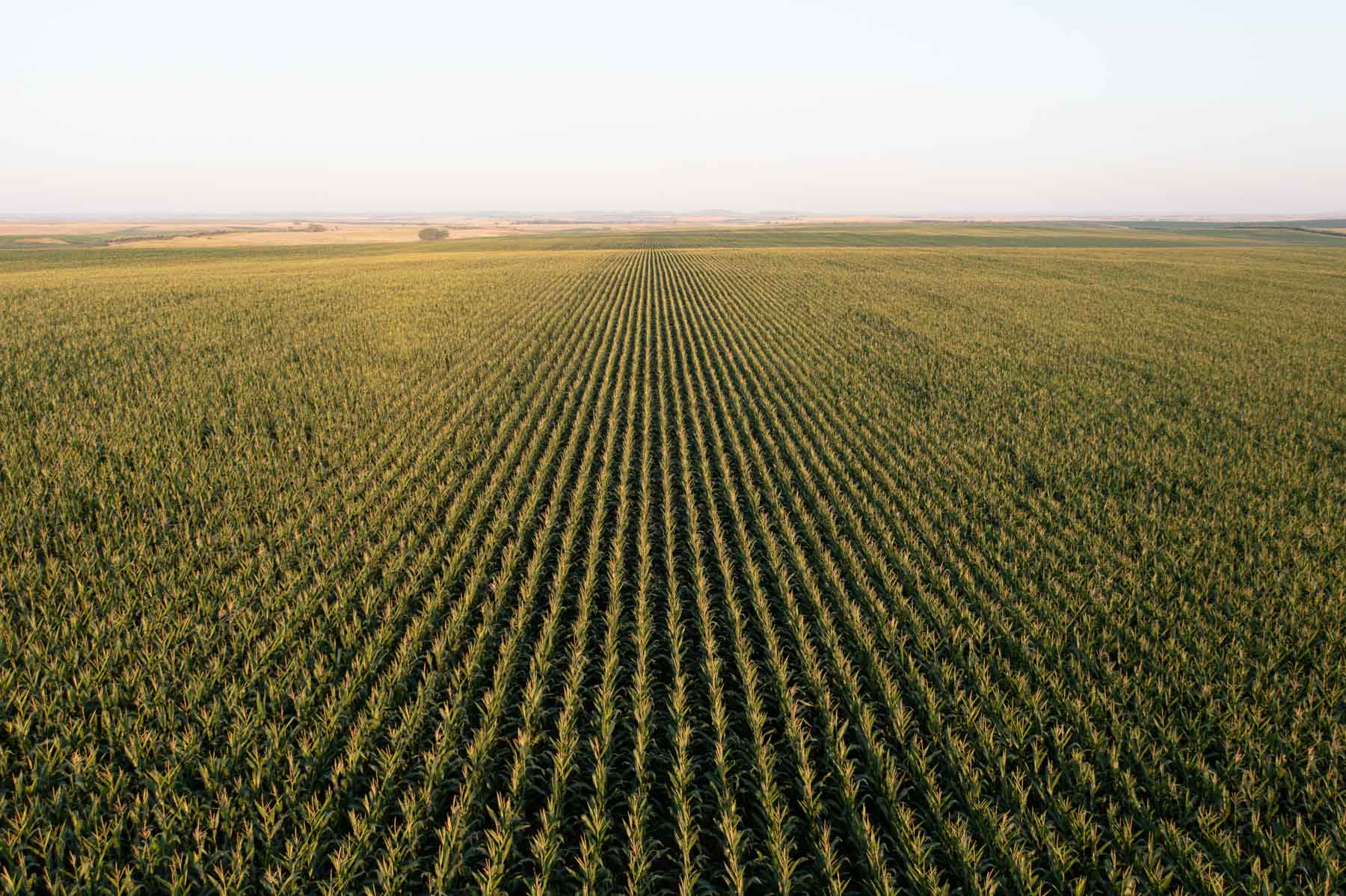
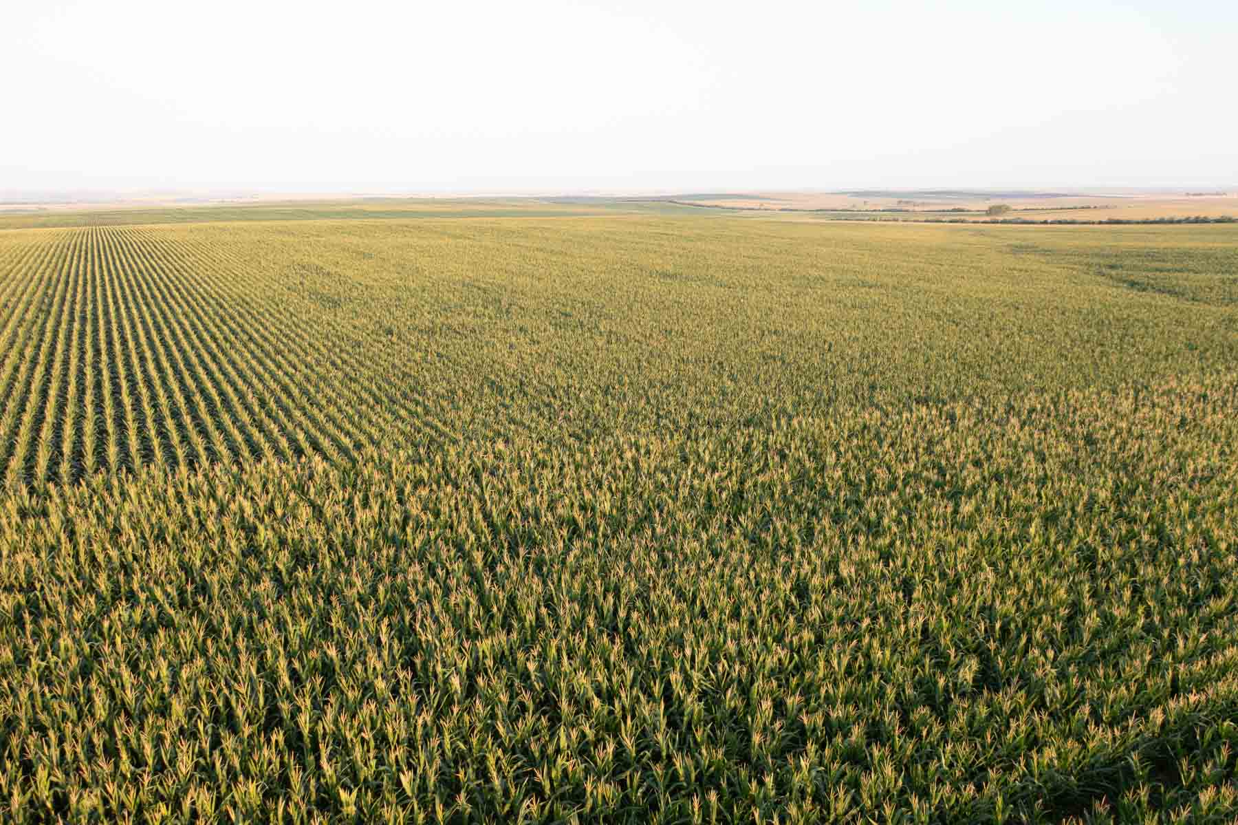
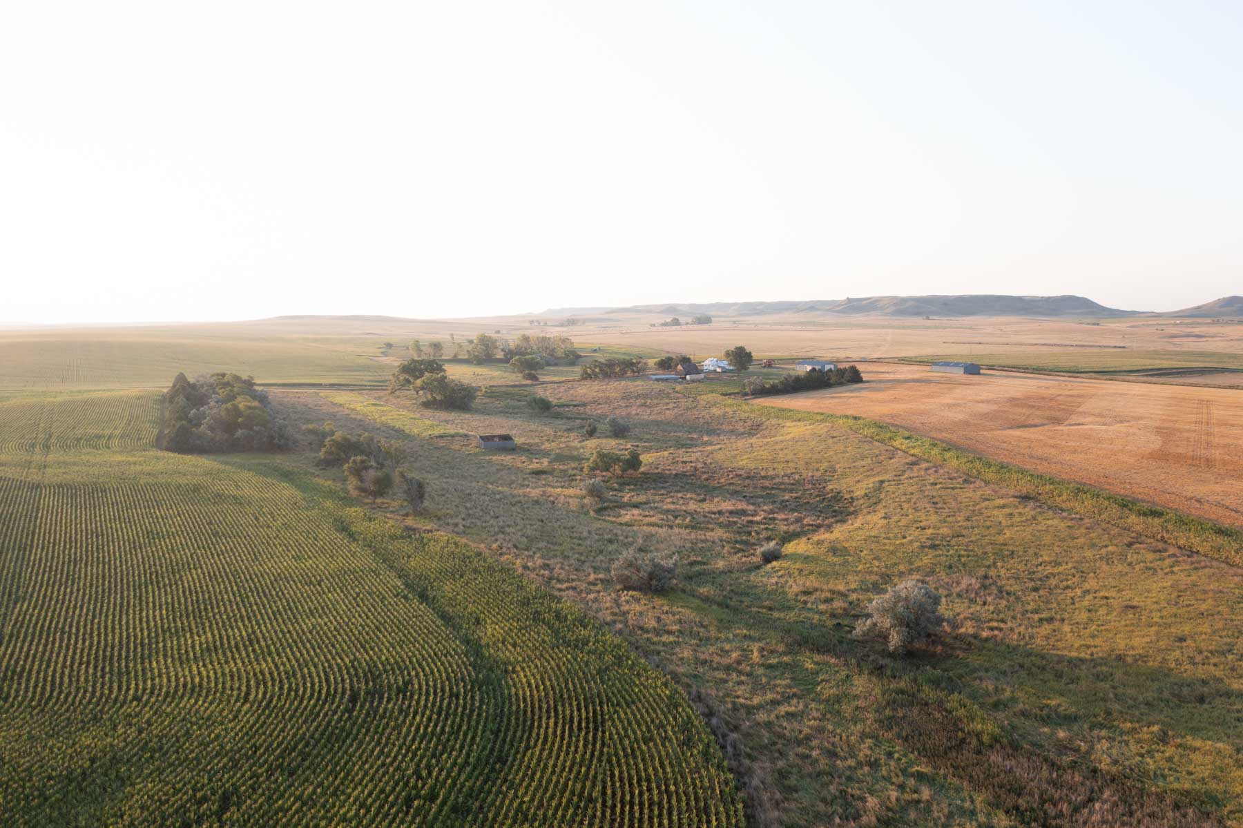
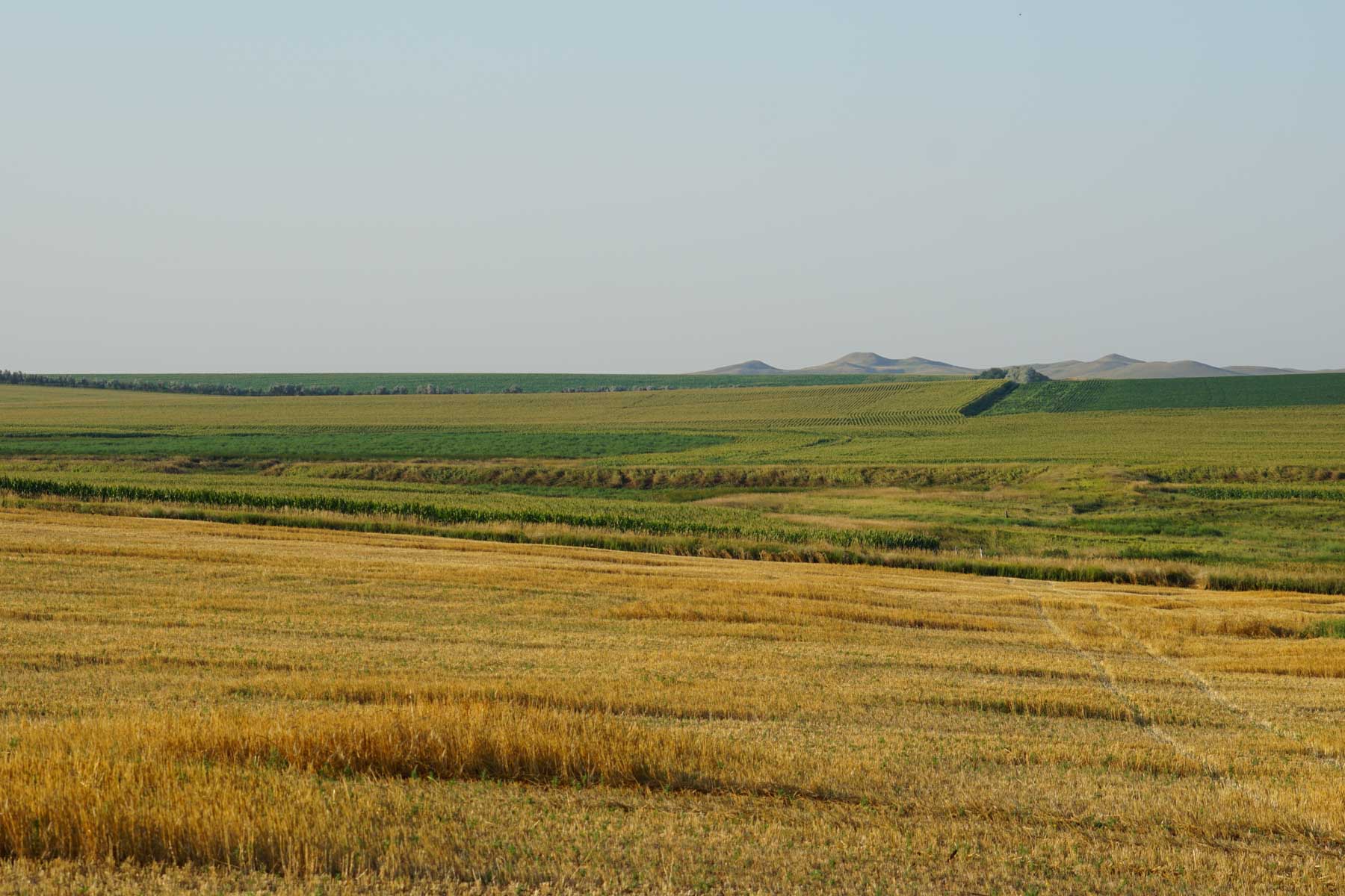
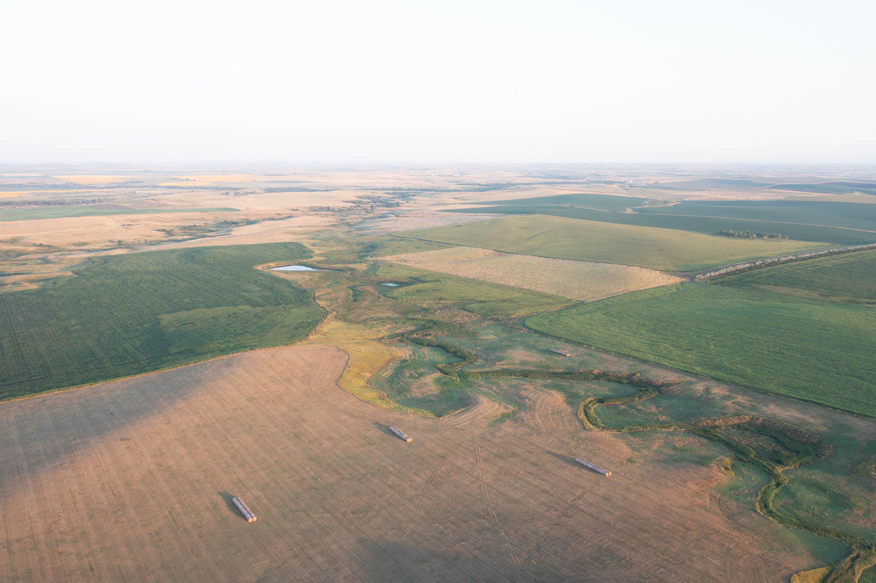
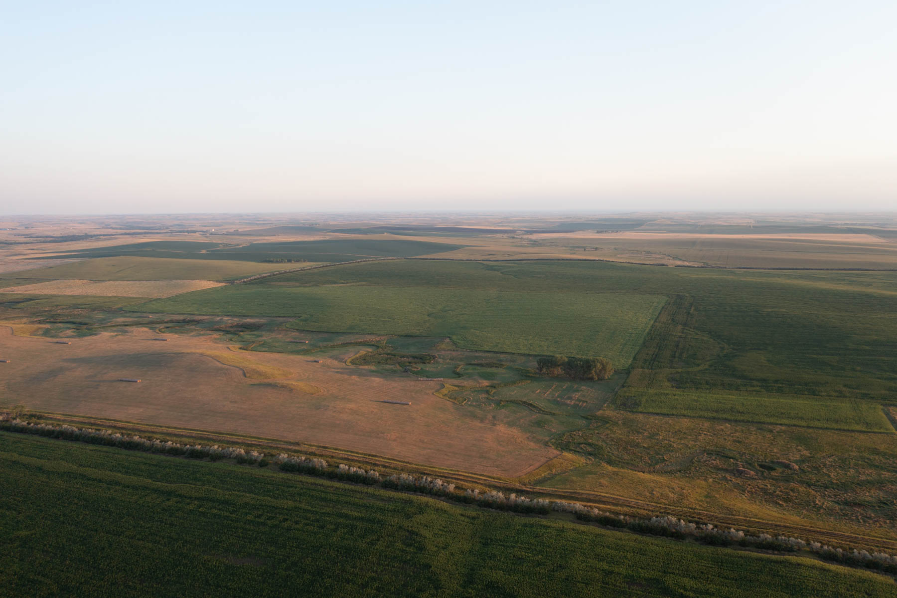
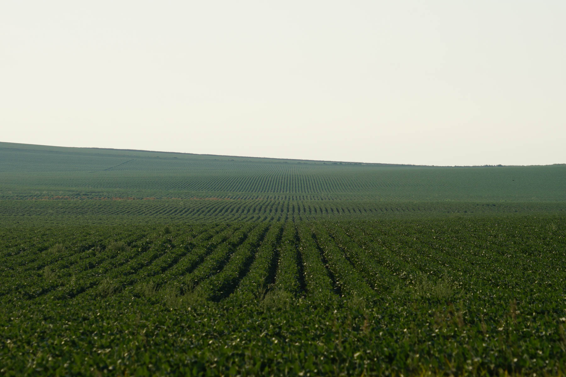
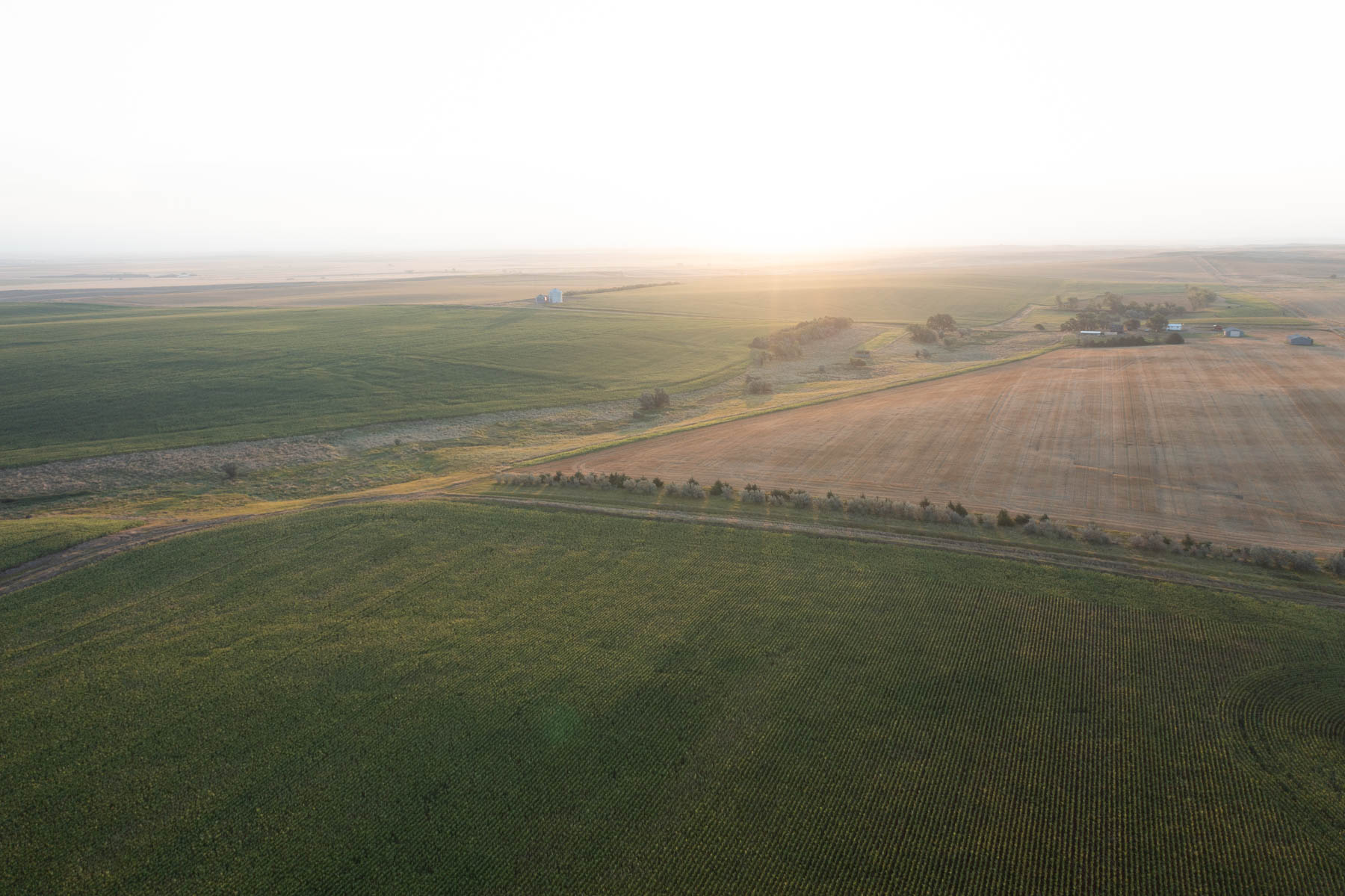
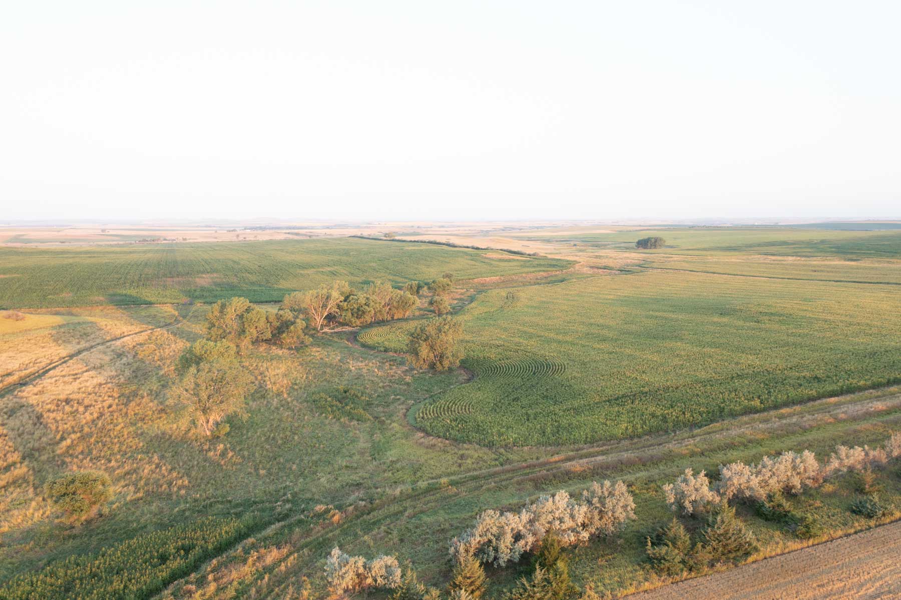
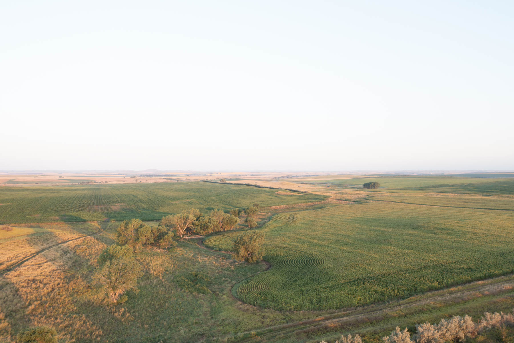
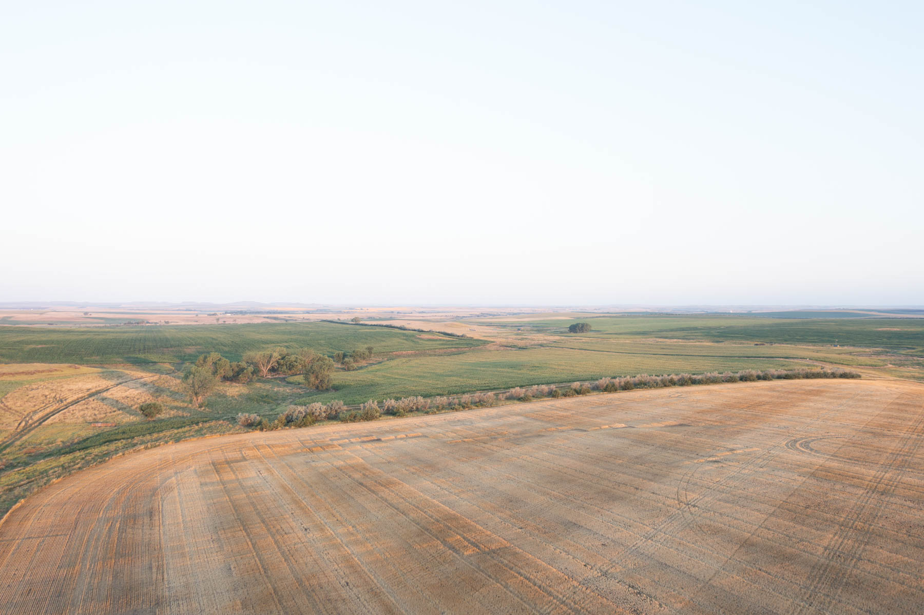
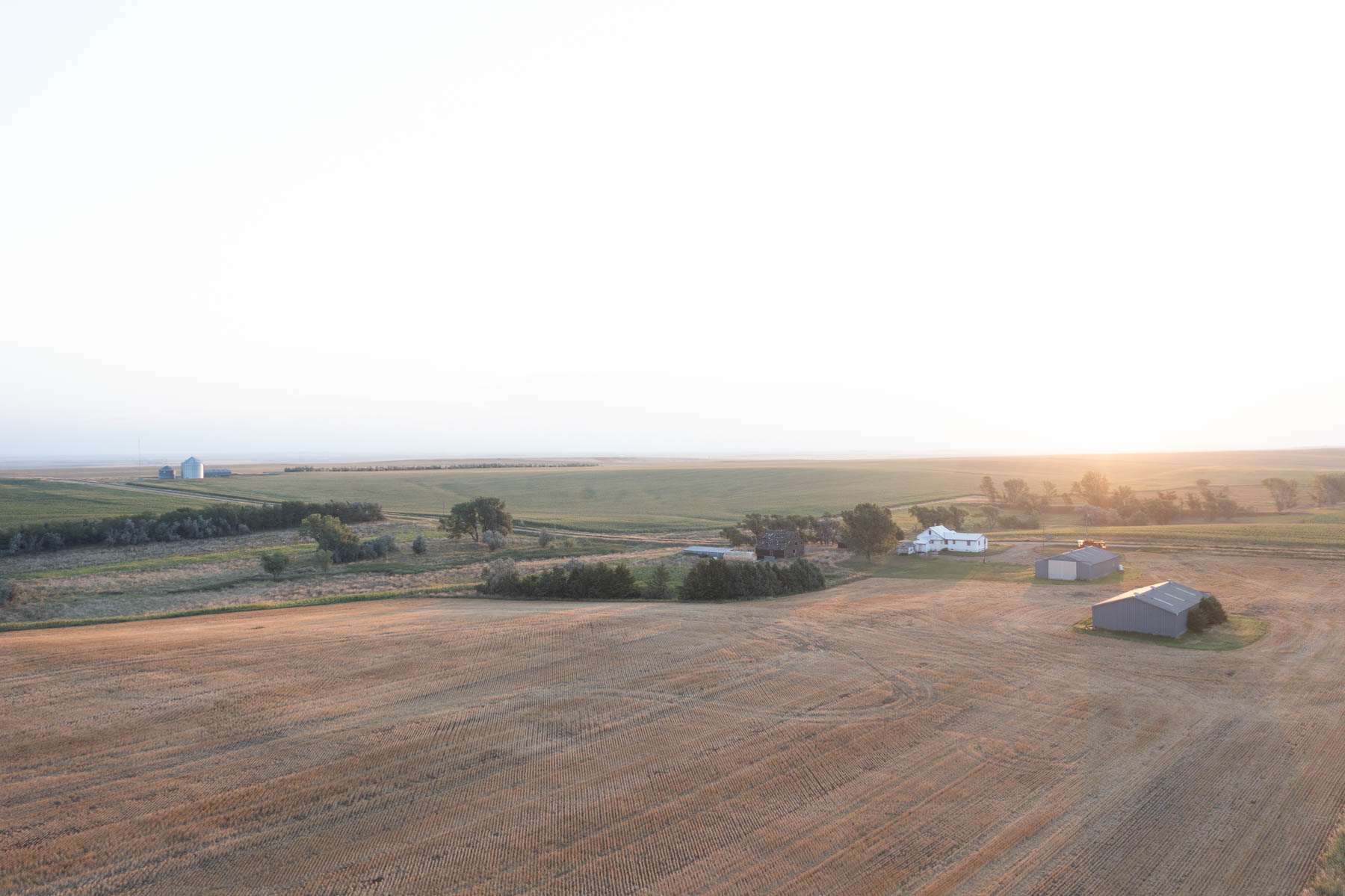
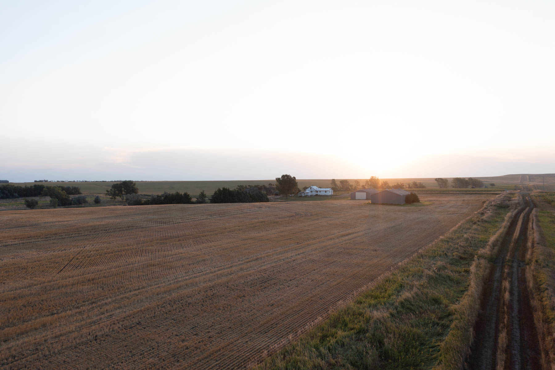
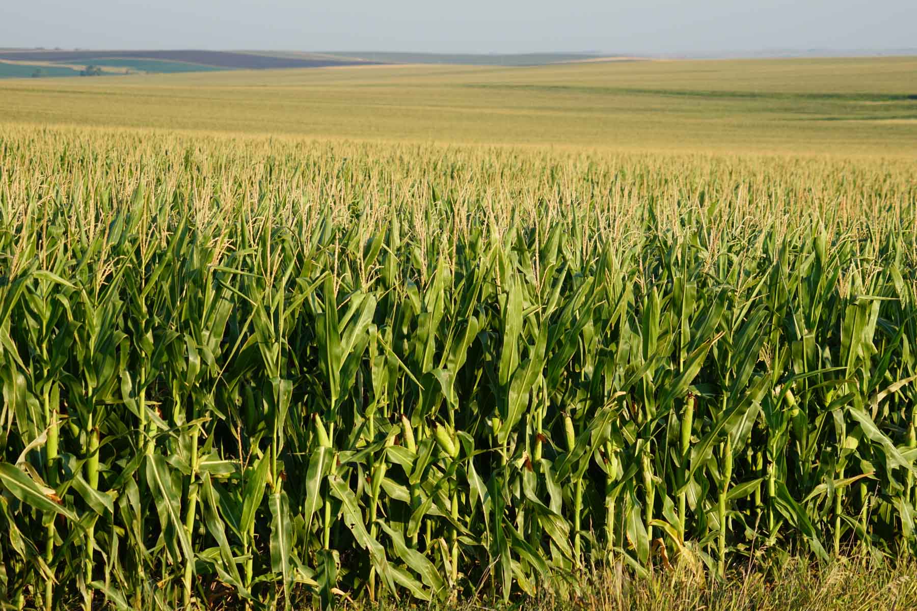
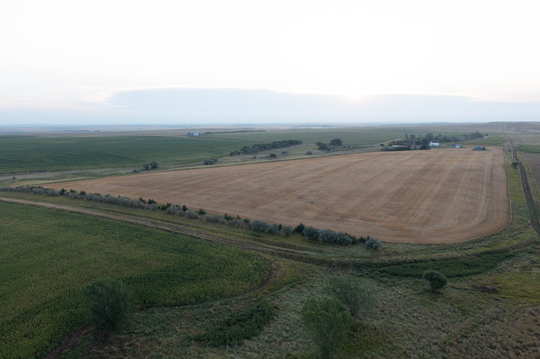
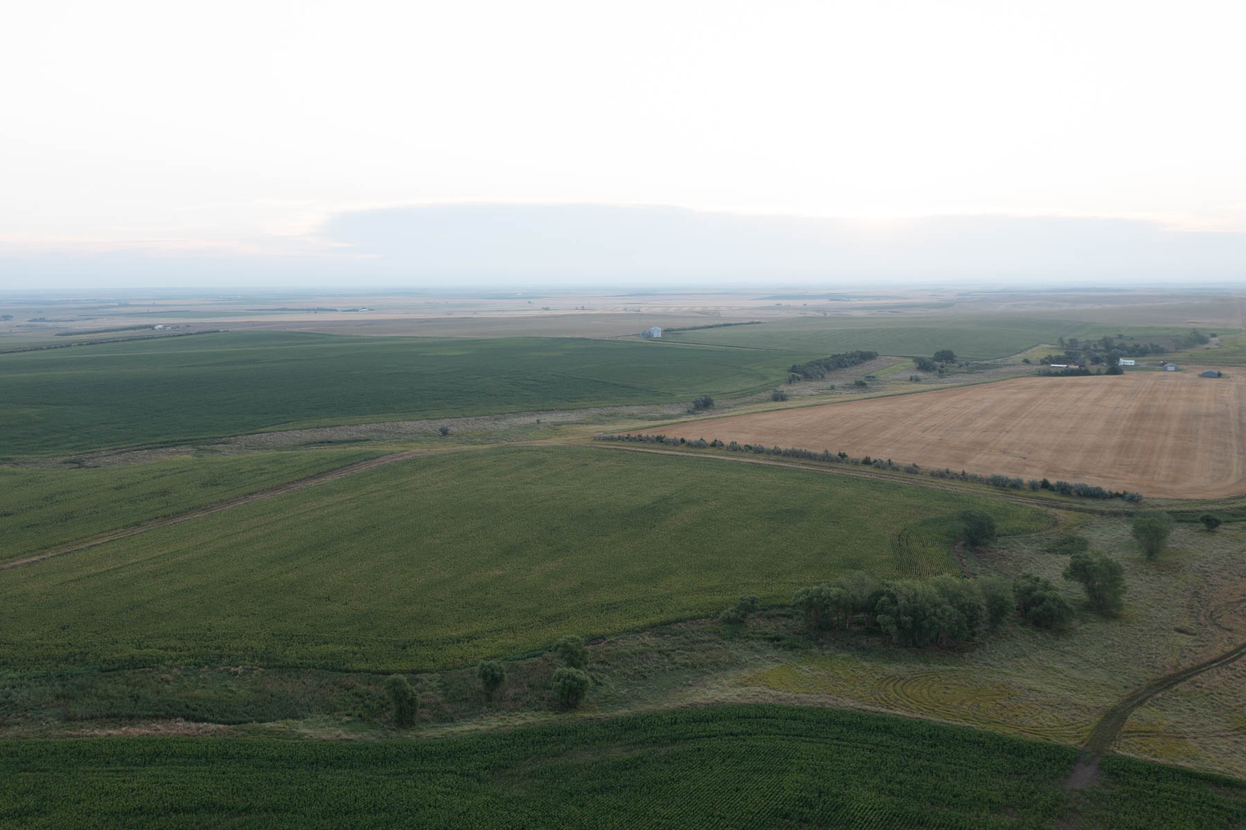
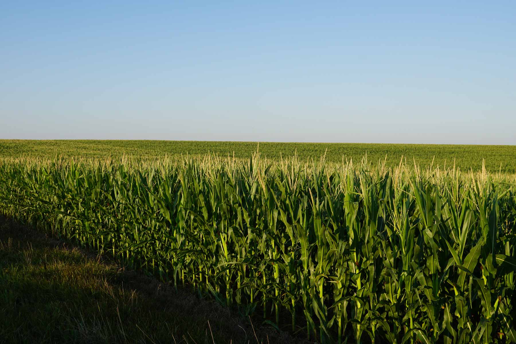
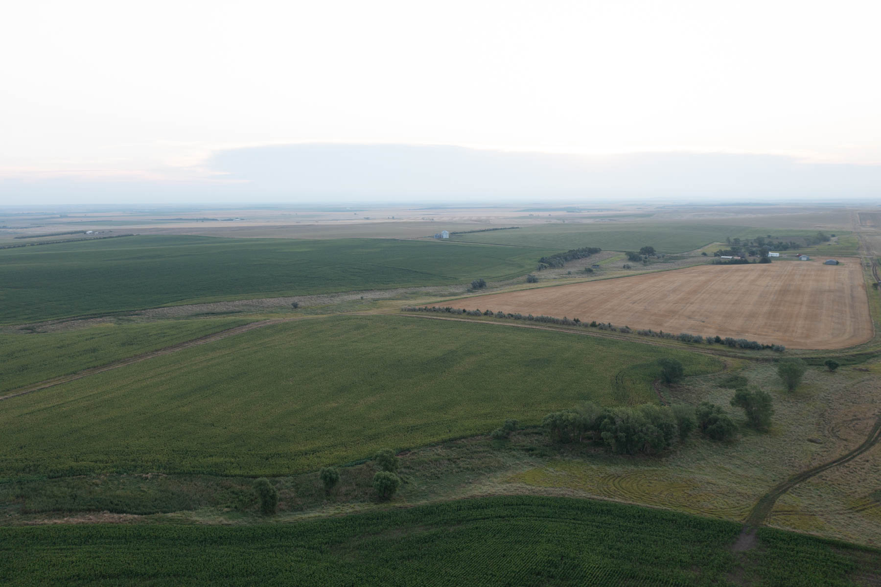
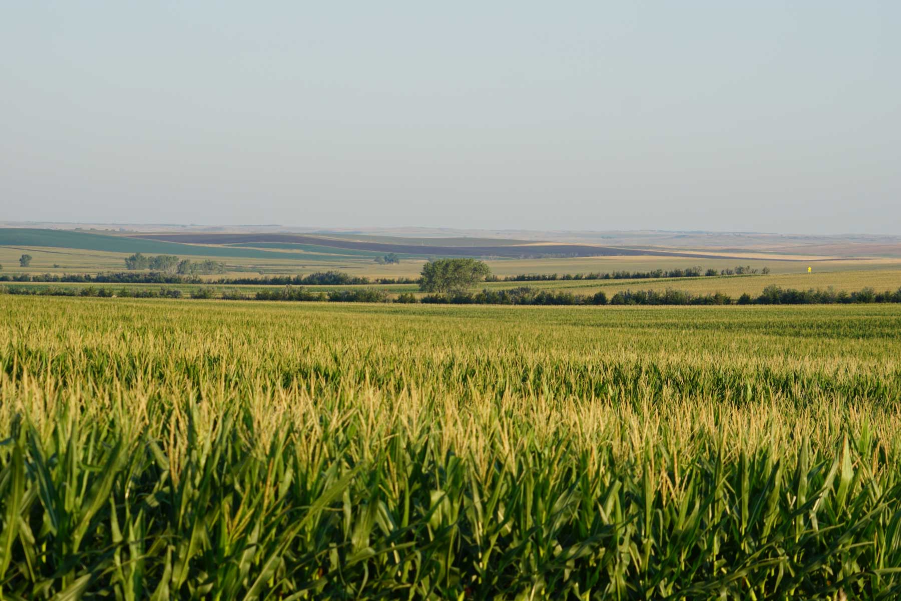
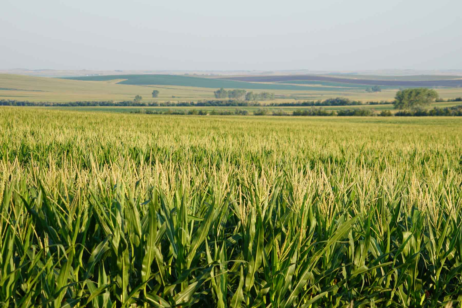
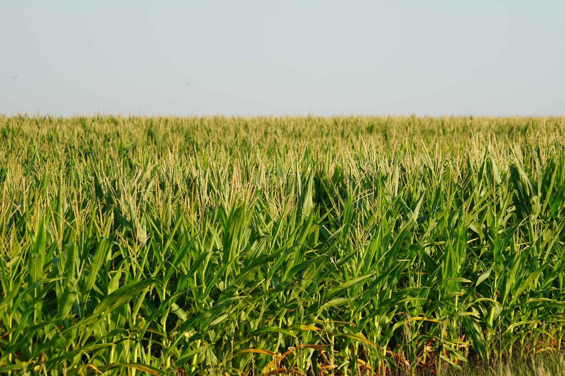
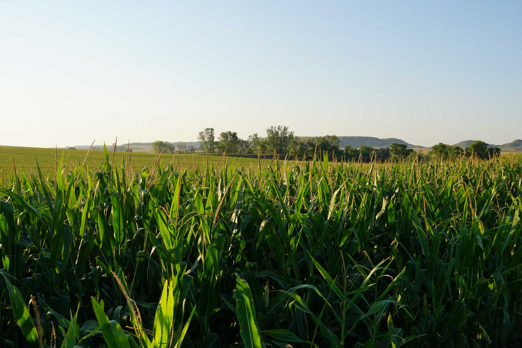
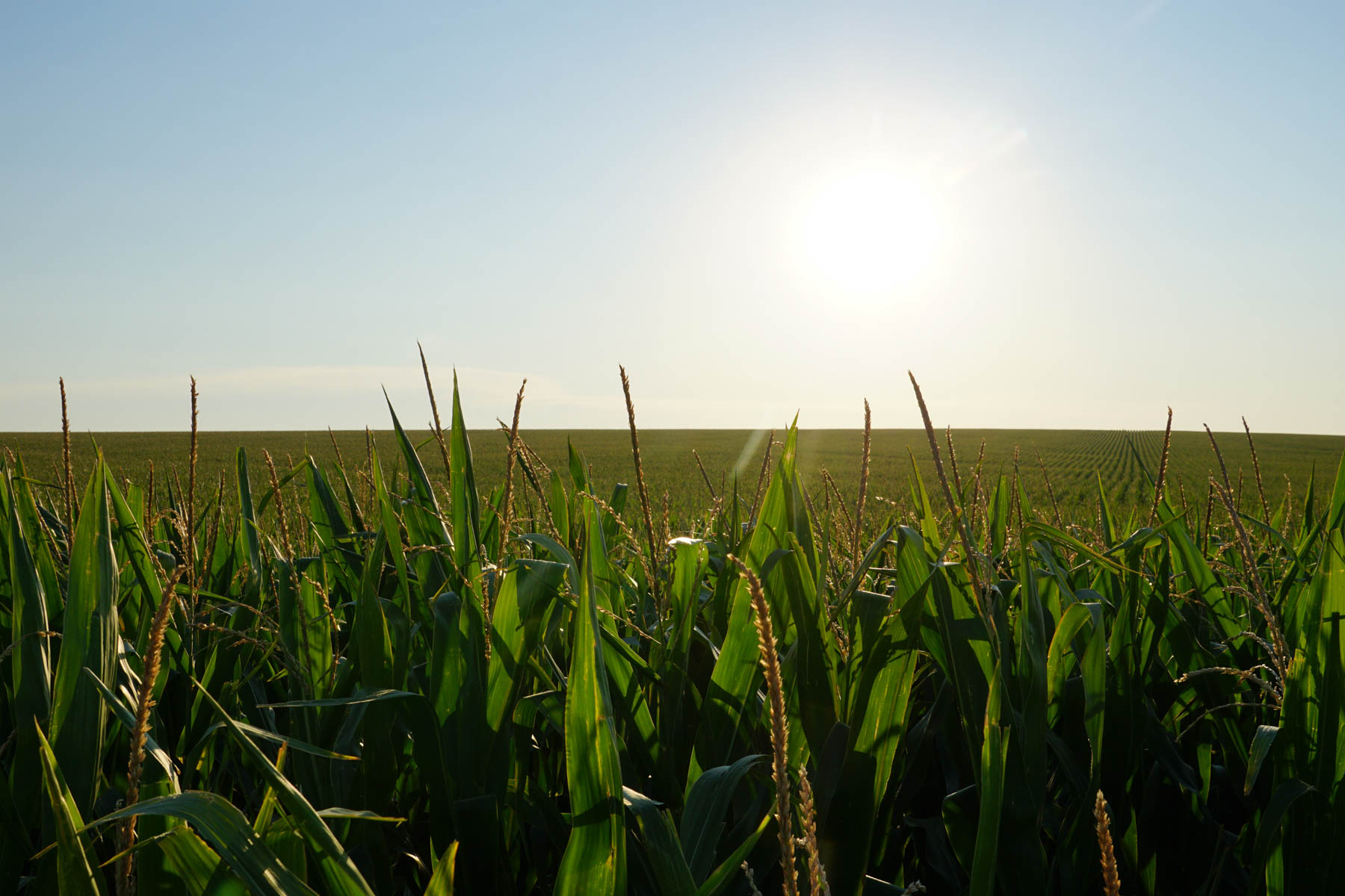
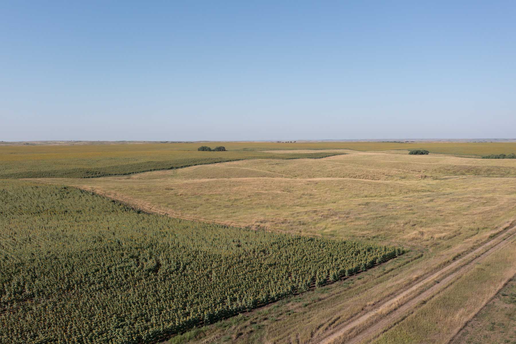
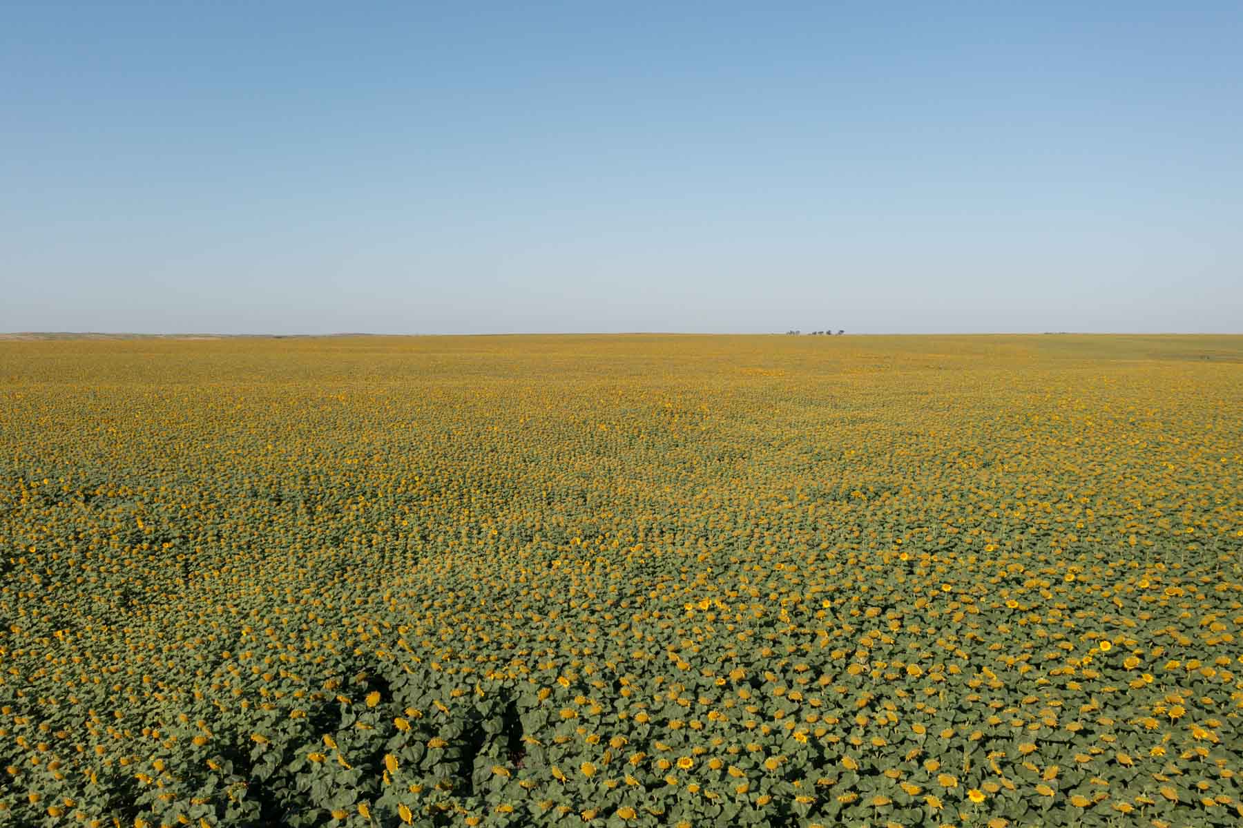
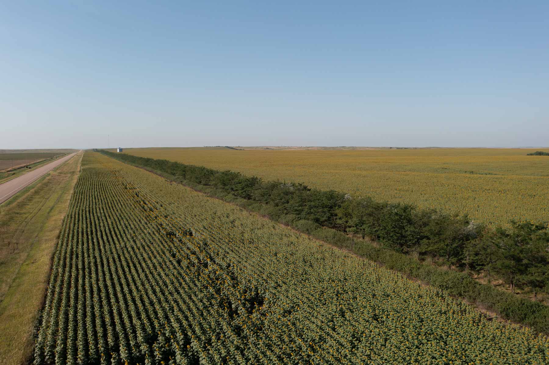
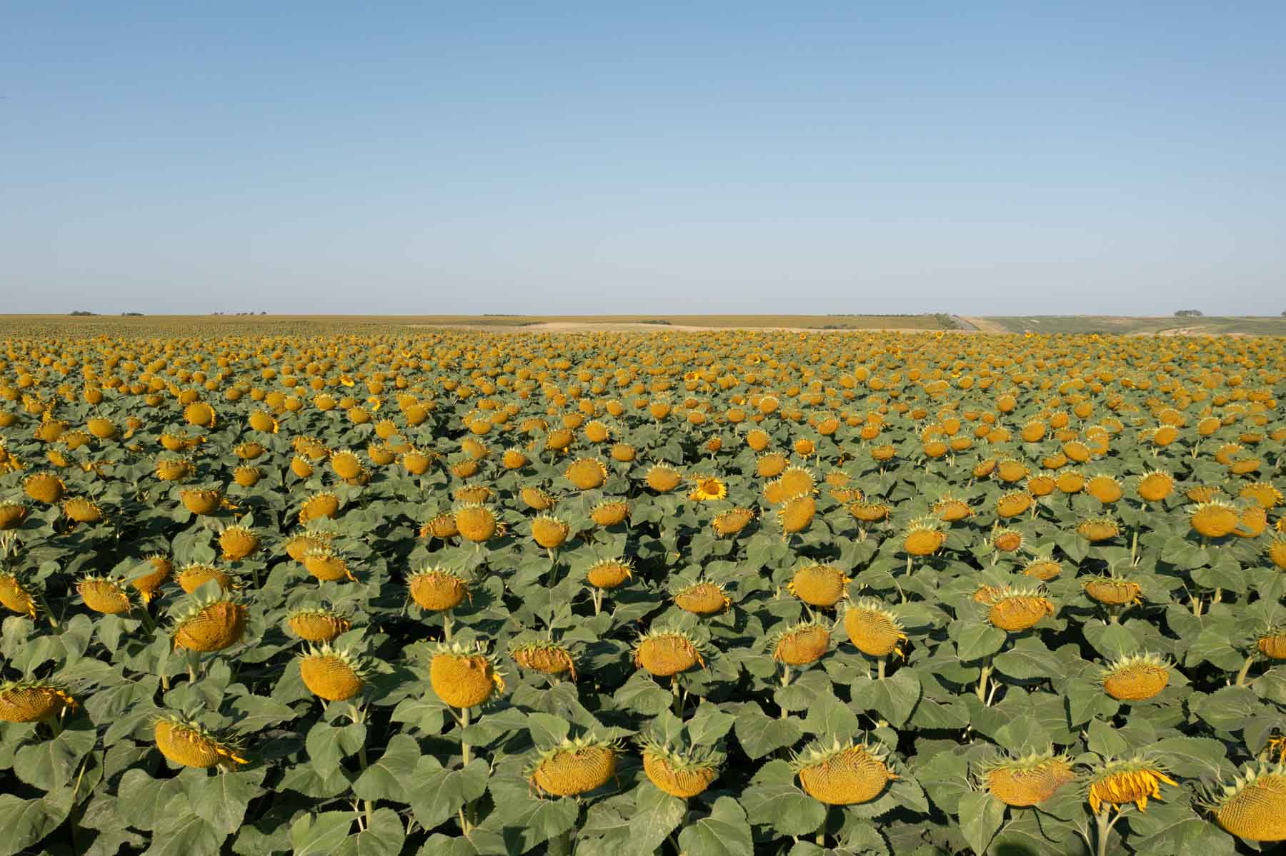
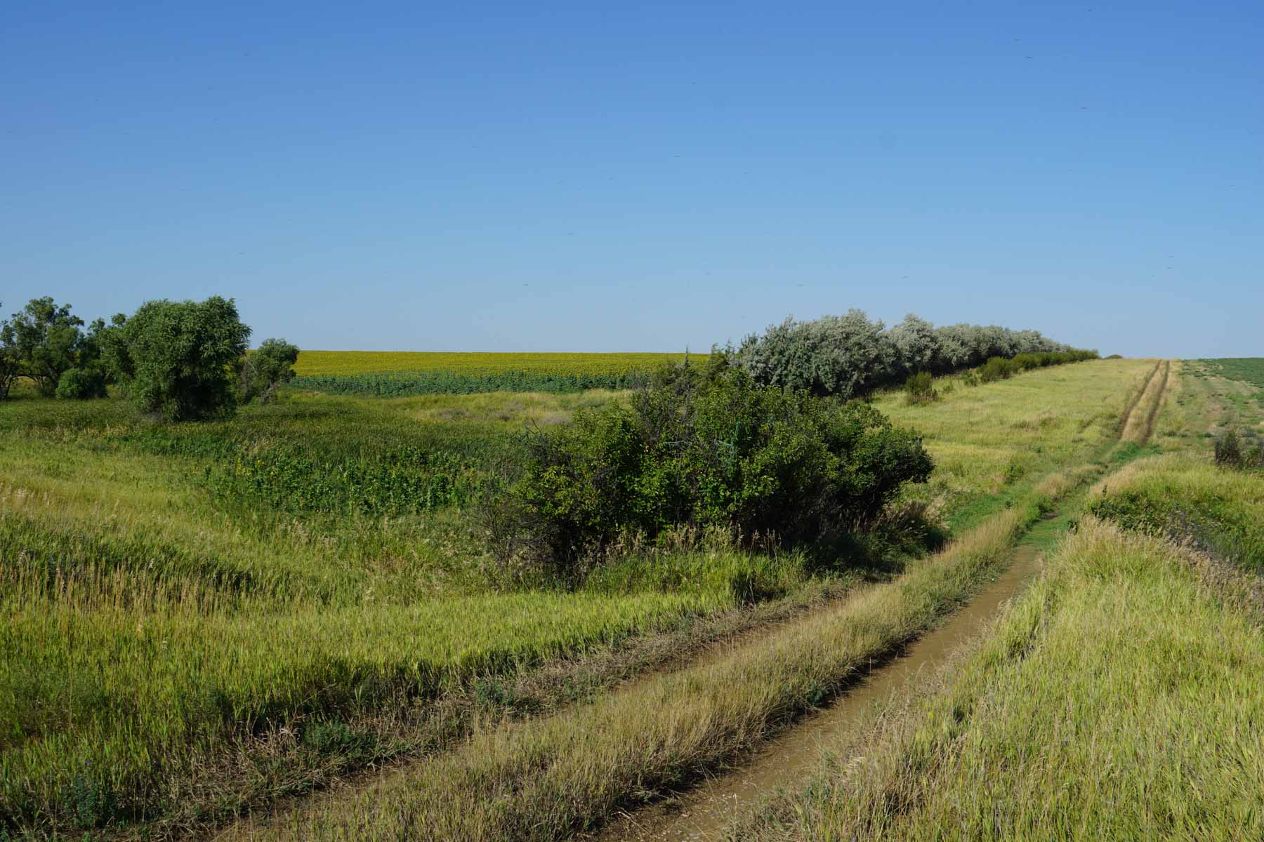
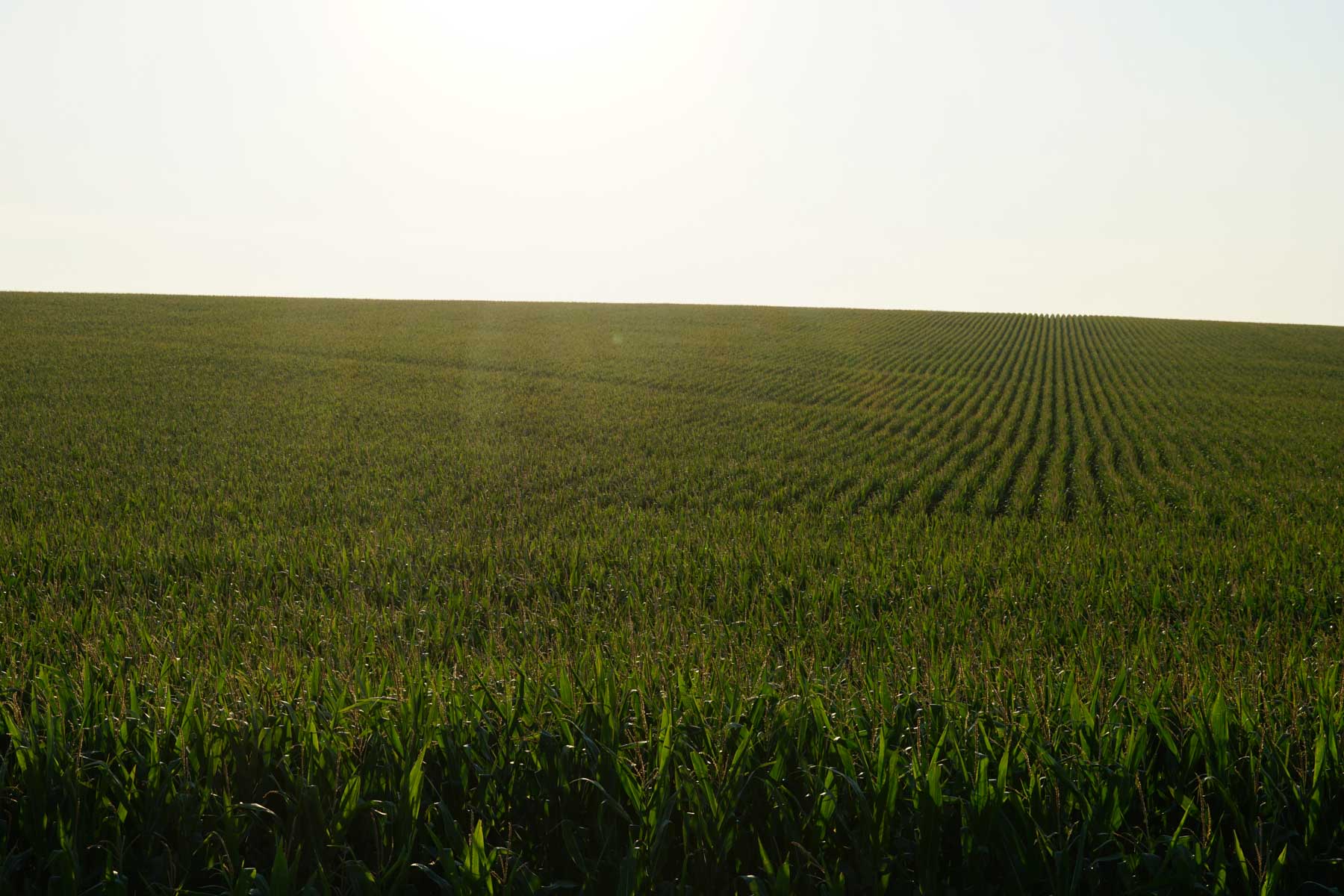
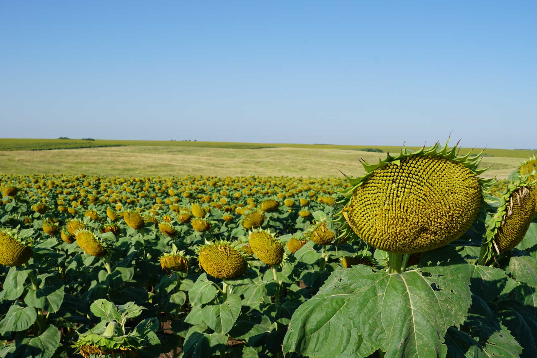
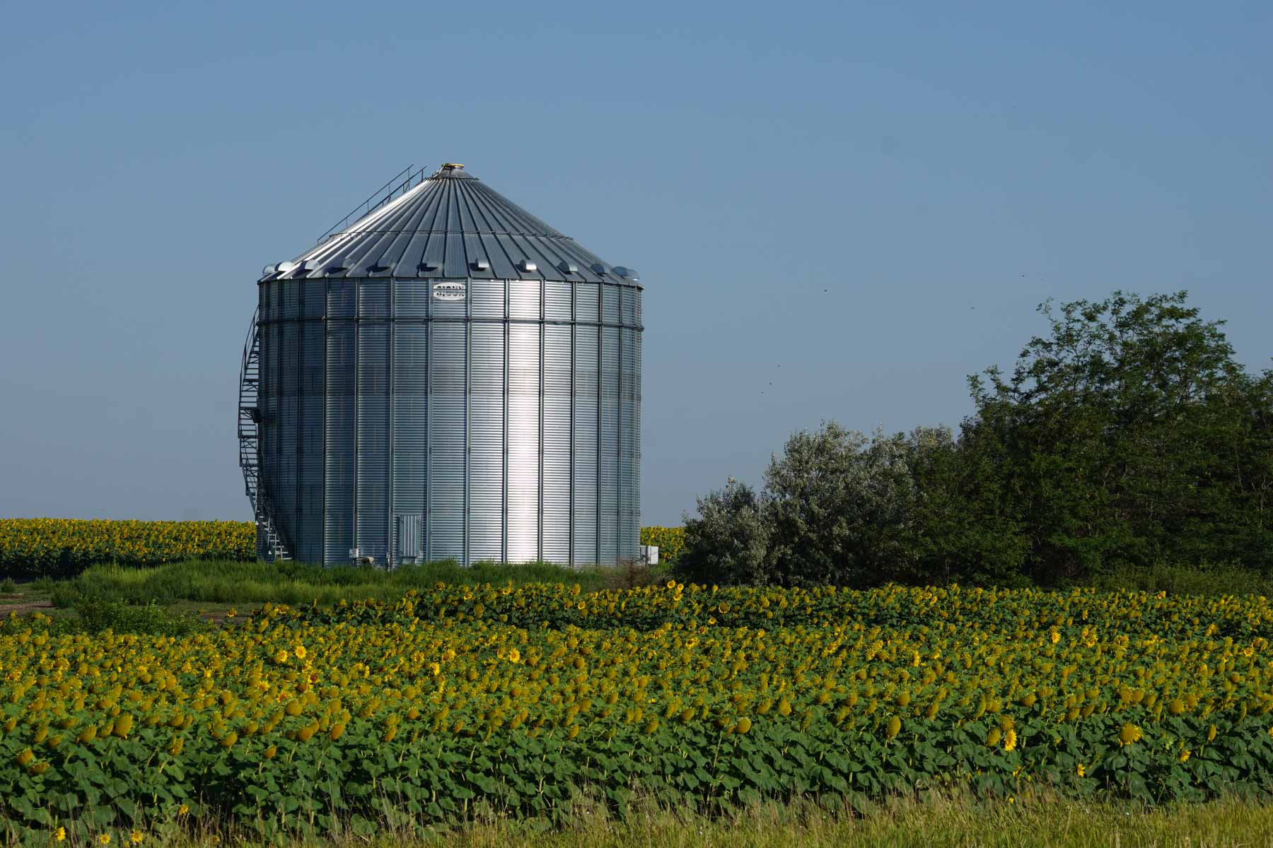
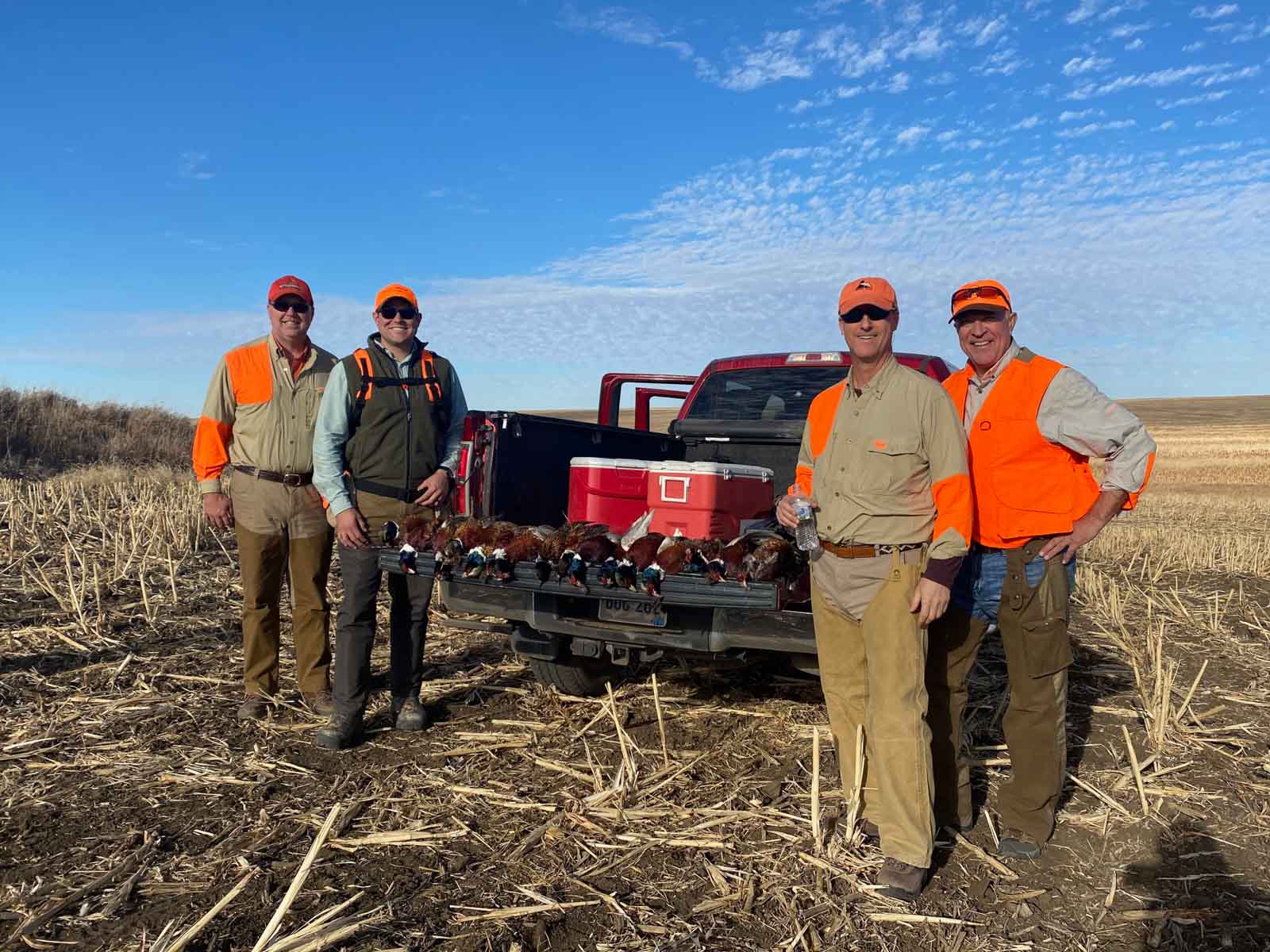
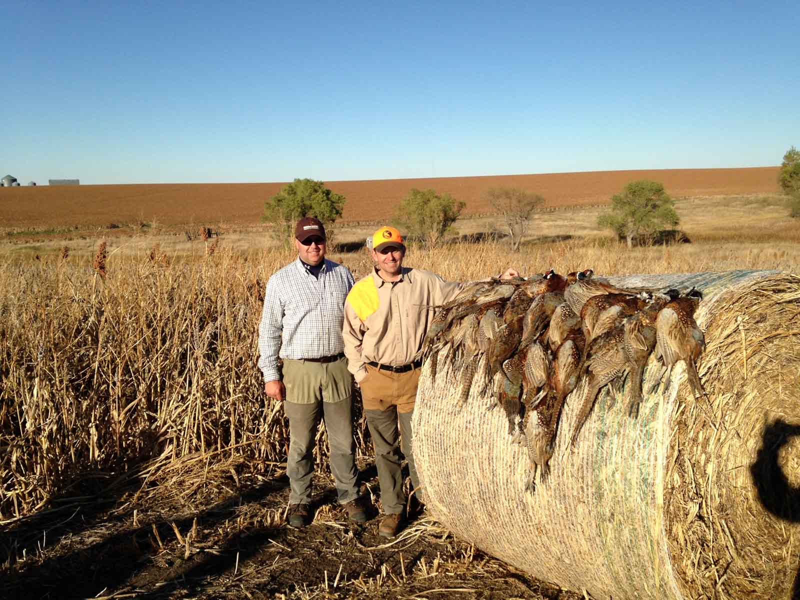
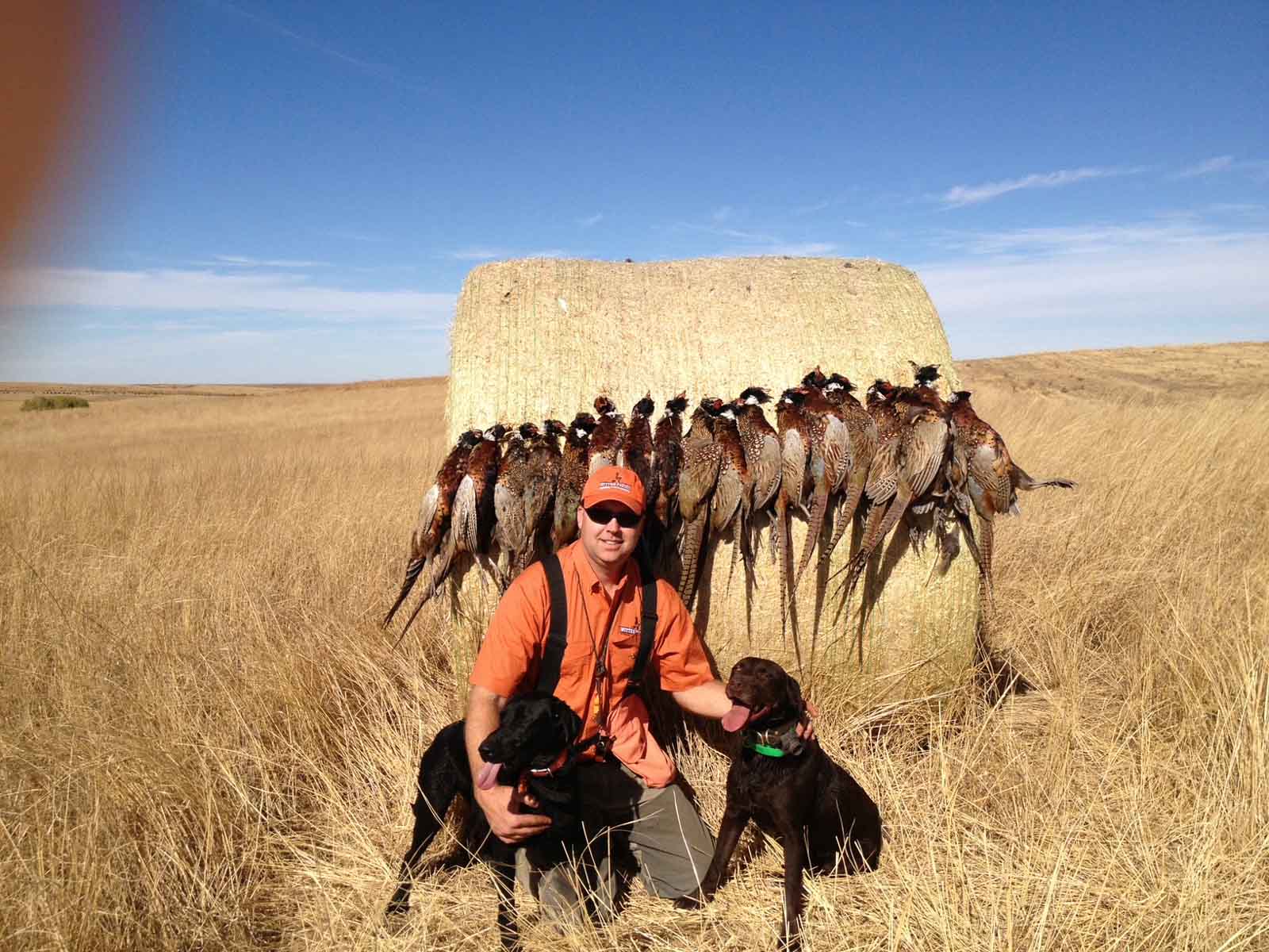
The Witten Farms Auction presents 5,508± acres of exceptionally fertile, well-maintained farmland—paired with some of the finest hunting opportunities in South Dakota’s renowned Golden Triangle.
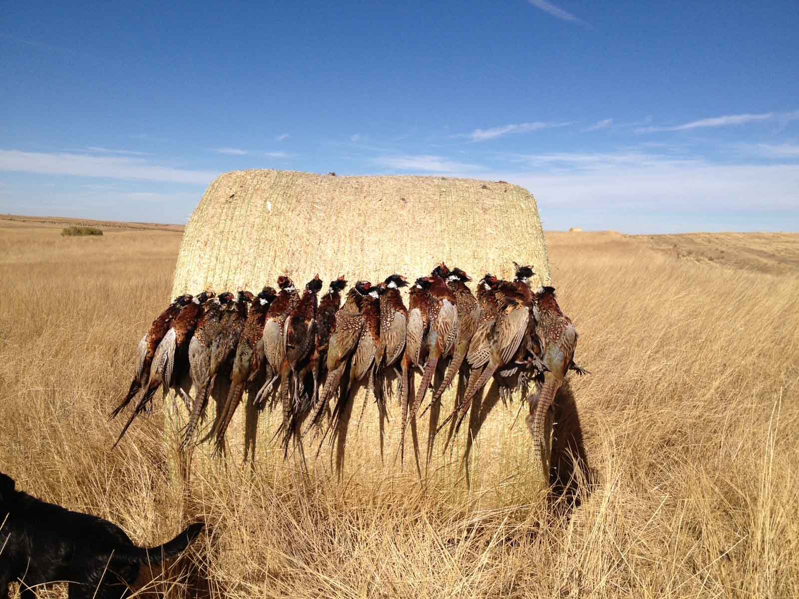
Just outside Winner, South Dakota, this expansive offering includes several contiguous tracts of highly productive farmland, world-class pheasant hunting, and easy access to regional urban centers. Whether you're looking to expand your farming operation, invest in premium agricultural land, or enjoy outstanding recreational hunting, this property offers unmatched versatility and long-term value.
The property will be offered in 20 tracts and combinations through a multi-parcel auction system, allowing bidders the flexibility to create a purchase that best suits their needs.
Contact Hall and Hall Auctions today to request your brochure!
📞 1-800-829-8747
Auction Date and Location:
- Wednesday, November 19th at 10:00 AM CT
- Auction Location: St. Mary’s Hall
305 W 3rd St. Winner, SD 57580
Information Days:
- Thursday, October 23rd from 10:00 AM to Noon CT
- Monday, November 10th from 10:00 AM to Noon CT
Held at: Holiday Inn - 360 East Highway 44 Winner, SD 57580
- Meet an auction representative to learn more about the property and the auction process.
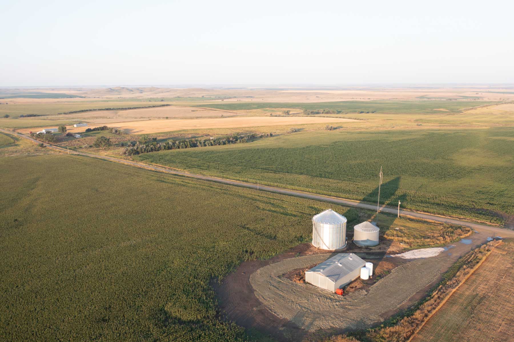
Tract 1 - 790± total acres
- 683± acres FSA cropland
- Corn APH = 86
- Wheat APH = 59
- CRP acres = 24.7±
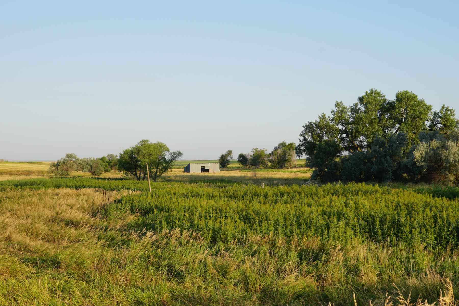
- Hunting & Improvements:
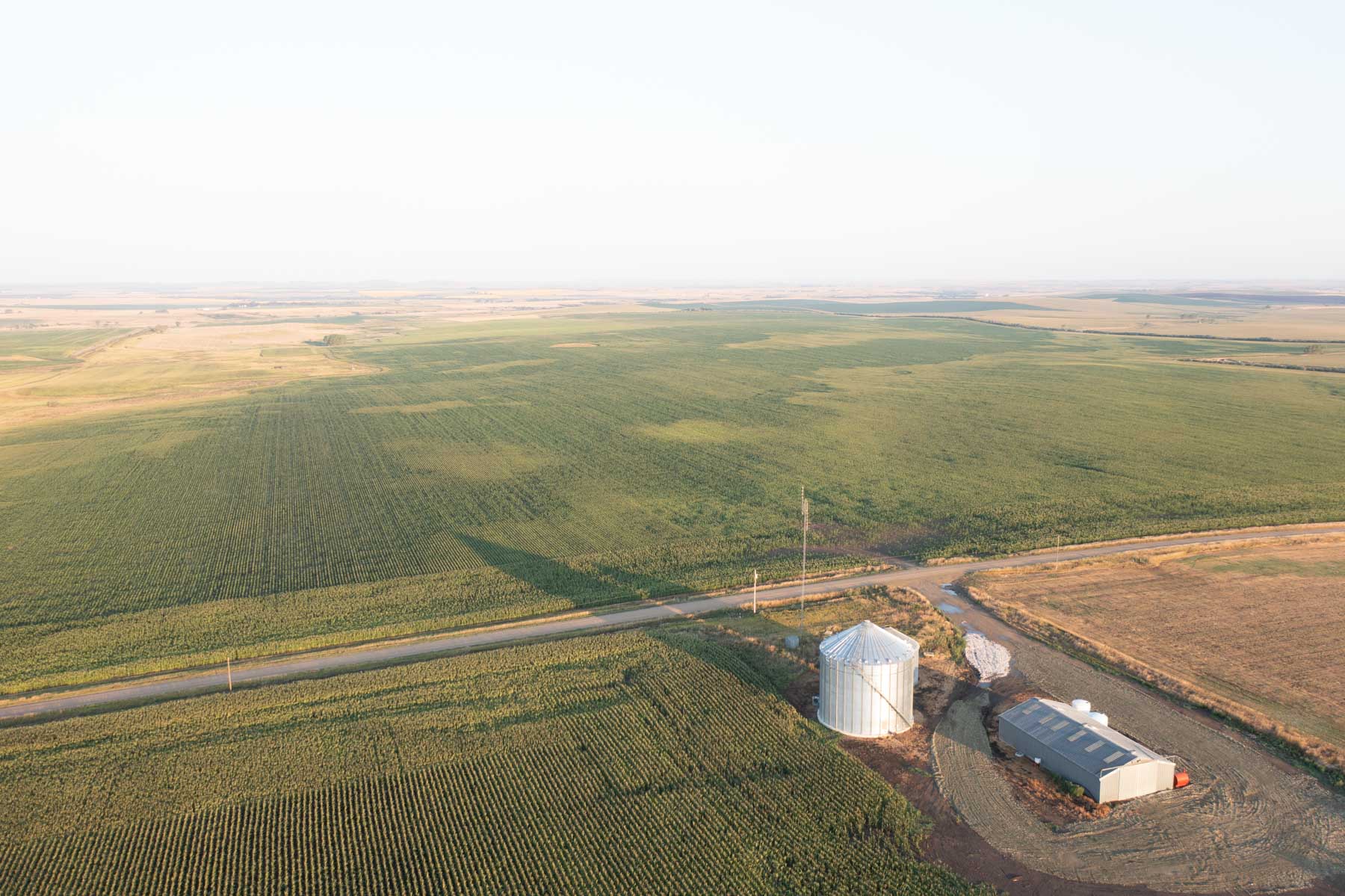
o 60,000 BU Grain Bin
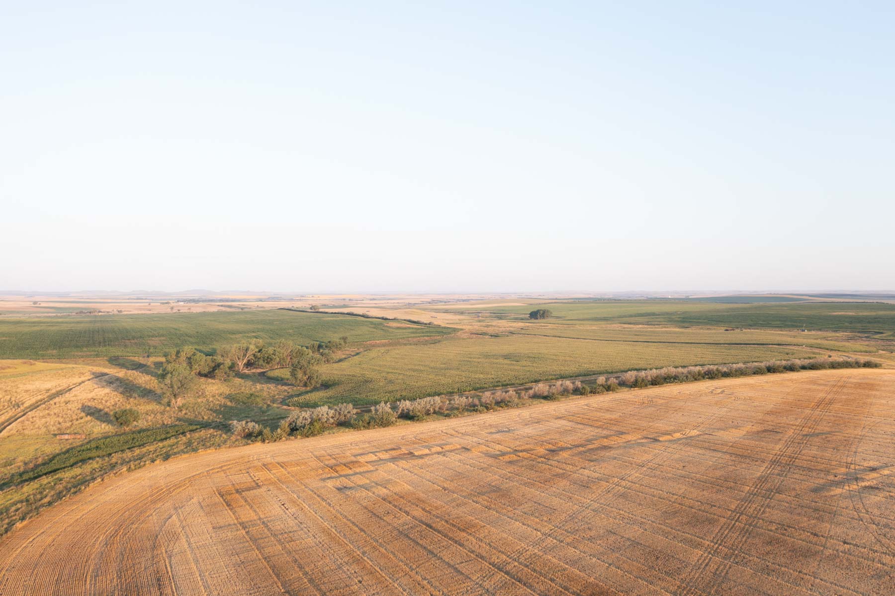
o Shelter Belts
- Legal Description - T102N-R77W: SEC 16 & 17 E2E2
Tract 2 - 311± total acres
- 310± acres FSA cropland
- Corn APH = 86
- Wheat APH = 59
- CRP acres = 19±
- Hunting & Improvements:
o Shelter Belts
- Legal Description - T102N-R77W: SEC 21 E2
Tract 3 - 155± total acres
- 1,003± acres FSA cropland W/TRACT 7
- Corn APH = 87
- Wheat APH = 66
- Legal Description - T40N-R25W: SEC 11 NE4, LESS RR
Tract 4 - 266± total acres
- 1,003± acres FSA cropland W/TRACT 7
- Corn APH = 87
- Wheat APH = 66
- Legal Description - T40N-R25W: SEC 12 N OF RR
Tract 5 - 347± total acres
- 1,003± acres FSA cropland W/TRACT 7
- Corn APH = 87
- Wheat APH = 66
- Hunting & Improvements:
o Food Plots
- Legal Description - T40N-R25W: SEC 12 S OF RR
Tract 6 - 166± total acres
- 157± acres FSA cropland
- Corn APH = 108
- Wheat APH = 65
- Legal Description - T100N-R79W: PART OF SEC 29
Tract 7 - 480± total acres
- 1,003± acres FSA cropland w/tracts 3-5
- Corn APH = 121
- Wheat APH = 62
- CRP acres = 16.1±
- Hunting & Improvements:
o Shelter Belt & Food Plots
- Legal Description - T40N-R25W: SEC13 N2, SE4
Tract 8 - 204± total acres
- 235± acres FSA cropland w/tracts 11
- Corn APH = 150
- Wheat APH = 63
- CRP acres = 3.1±
- Hunting & Improvements:
o Shelter Belt
- Legal Description - T100N-R79W: SEC 32 N2, N2S2
Tract 9 - 160± total acres
- 409± acres FSA cropland w/tract 10
- Corn APH = 111
- Wheat APH = 69
- CRP acres = 21.2±
- Hunting & Improvements:
o Food Plot
- Legal Description - T40N-R25W: SEC 14 SE4
Tract 10 - 320± total acres
- 409± acres FSA cropland w/tract 9
- Corn APH = 145
- Wheat APH = 64
- CRP acres = 9±
- Hunting & Improvements:
o Shelter Belt & Food Plot
- Legal Description - T40N-R25W: SEC 24 N2
Tract 11 - 73± total acres
- 235± acres FSA cropland w/tracts 8
- Corn APH = 150
- Wheat APH = 63
- CRP acres = 0.8±
- 42± acres planted to Wheat
- Hunting & Improvements:
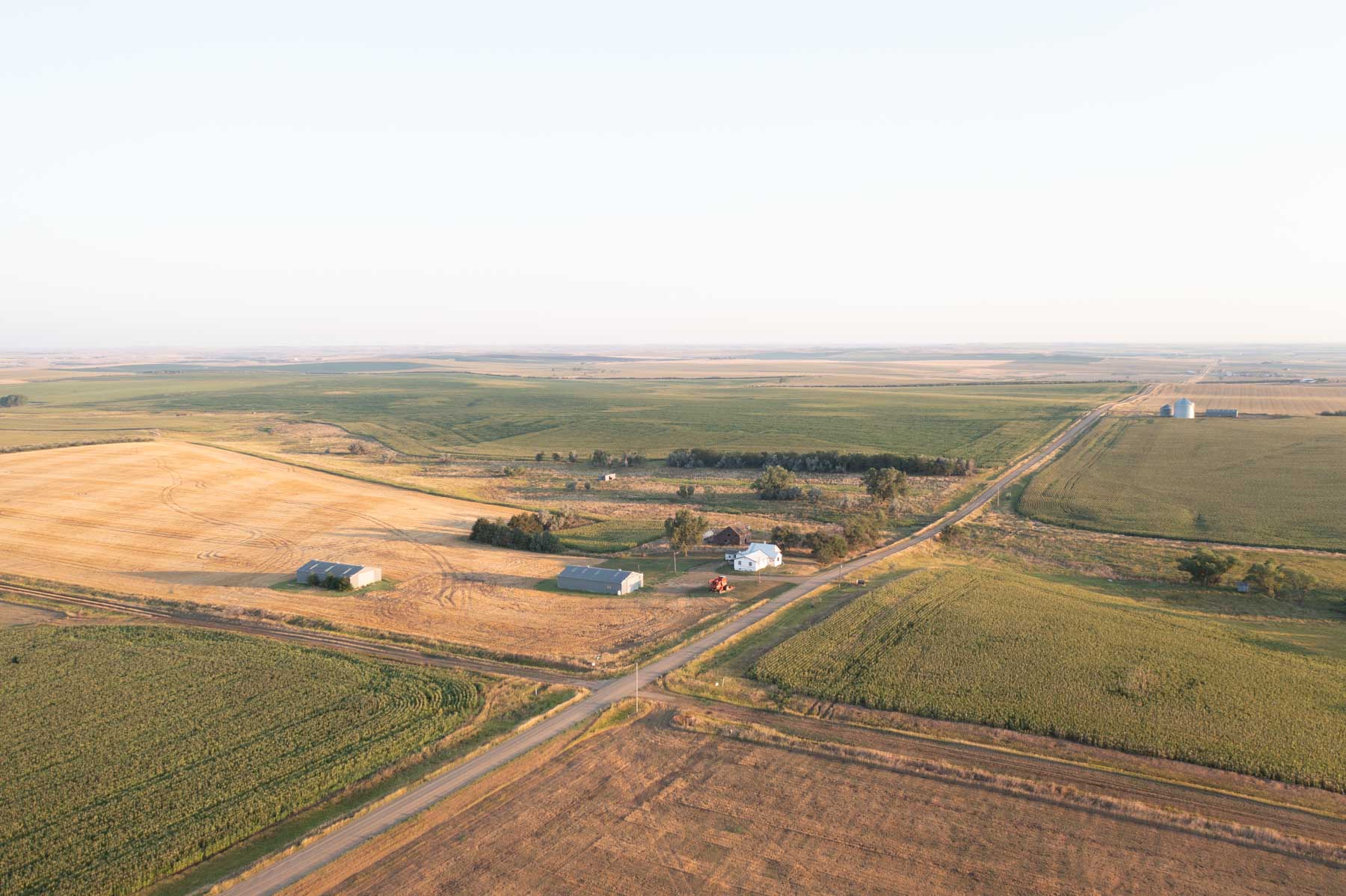
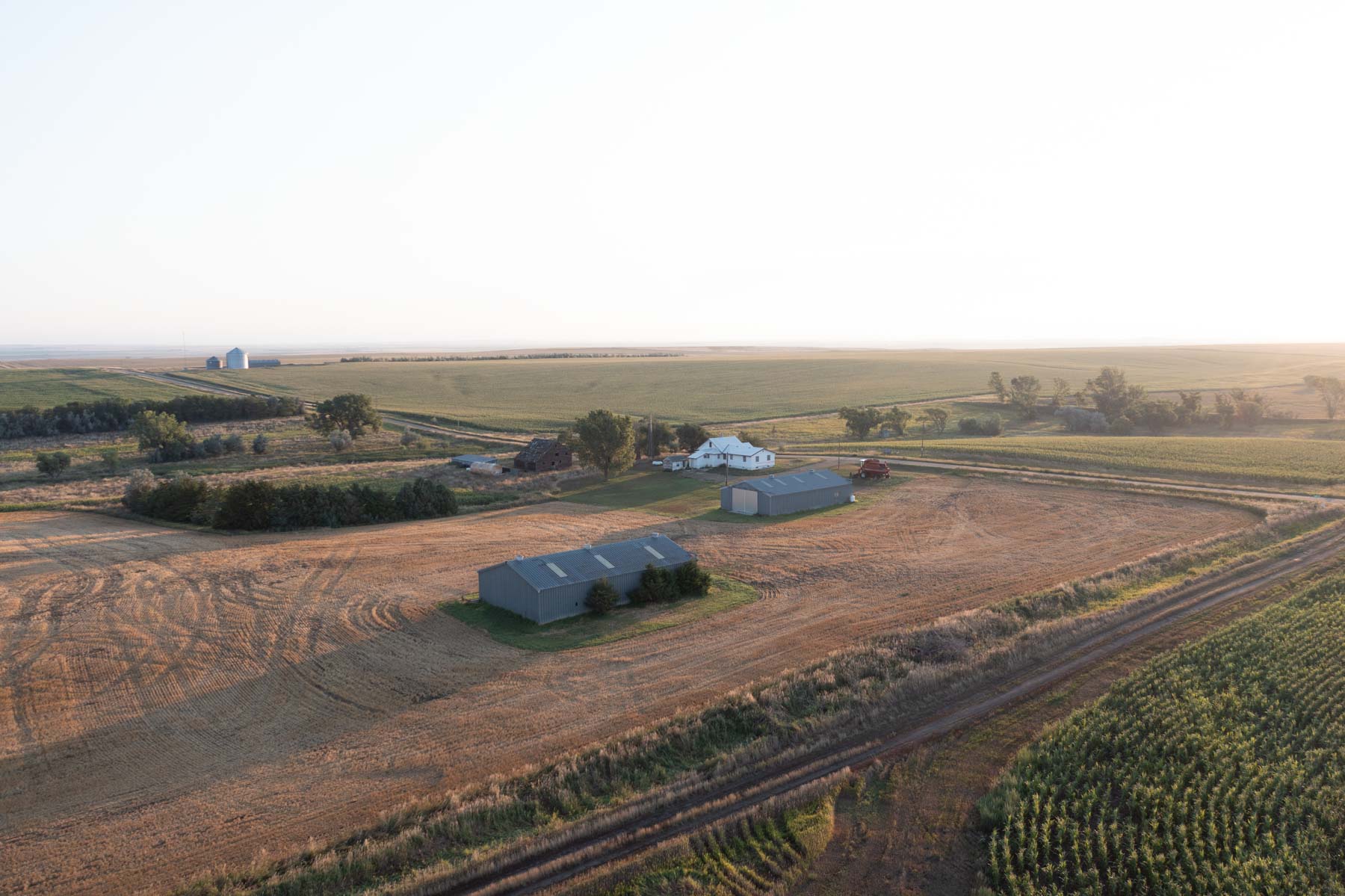
o Home
o 2 Concrete Floor Sheds
o Food Plot
- Legal Description - T100N-R79W-SEC 32: PART
Tract 12 - 160± total acres
- 127± acres FSA cropland
- Corn APH = 92
- Wheat APH = 60
- CRP acres = 2.8±
- Hunting & Improvements:
o 60,000 BU. Grain Bins
o Concrete Floor Shed
o Shelter Belt & Food Plot
- Legal Description - T100N-R79W-SEC 33: SW4
Tract 13 - 480± total acres
- 453± acres FSA cropland
- Corn APH = 102
- Wheat APH = 57
- CRP acres = 96.1±
- 300± planted to wheat
- Hunting & Improvements:
o Food Plot
- Legal Description - T100N-R79W: SEC 22 SE4 & 27 E2
Tract 14 - 320± total acres
- 629± acres FSA cropland with Tract 15
- Corn APH = 122
- Wheat APH = 64
- Hunting & Improvements:
o 60,000 BU. Grain Bin,
o Site wired for more bins
- Legal Description - T100N-R79W: SEC 26 W2
Tract 15 - 320± total acres
- 629± acres FSA cropland with Tract 14
- Corn APH = 122
- Wheat APH = 64
- Legal Description - T100N-R79W: SEC 23 W2
Tract 16 - 160± total acres
- 157± acres FSA cropland
- Corn APH = 122
- Wheat APH = 64
- Hunting & Improvements:
o Strip Tilled 50#’s 11-52-0
- Legal Description - T100N-R79W: SEC 23 SE4
Tract 17 - 160± total acres
- 160± acres FSA cropland
- Corn APH = 112
- Wheat APH = 62
- 160± acres planted to wheat
- Legal Description - T40N-R25W: SEC 26 NW4
Tract 18 - 156± total acres
- 149± acres FSA cropland
- Corn APH = 114
- Wheat APH = 48
- 112± acres planted to wheat
- Hunting & Improvements:
o 35± acres of Tall Wheat Grass
- Legal Description - T99N-R78W: SEC 16 SE4
Tract 19 - 320± total acres
- 308± acres FSA cropland
- Corn APH = 97
- Wheat APH = 79
- 300± acres planted to wheat
- Legal Description - T99N-R78W: SEC 10 W2
Tract 20 - 160± total acres
- 153± acres FSA cropland
- Corn APH = 125
- Wheat APH = 72
- Legal Description - T100N-R78W: SEC 24 SE4