For Sale

Ironside Mountain Ranch

$12,900,000 Ironside, OR 14,935± Deeded Acres

Sections

Overview

Executive Summary

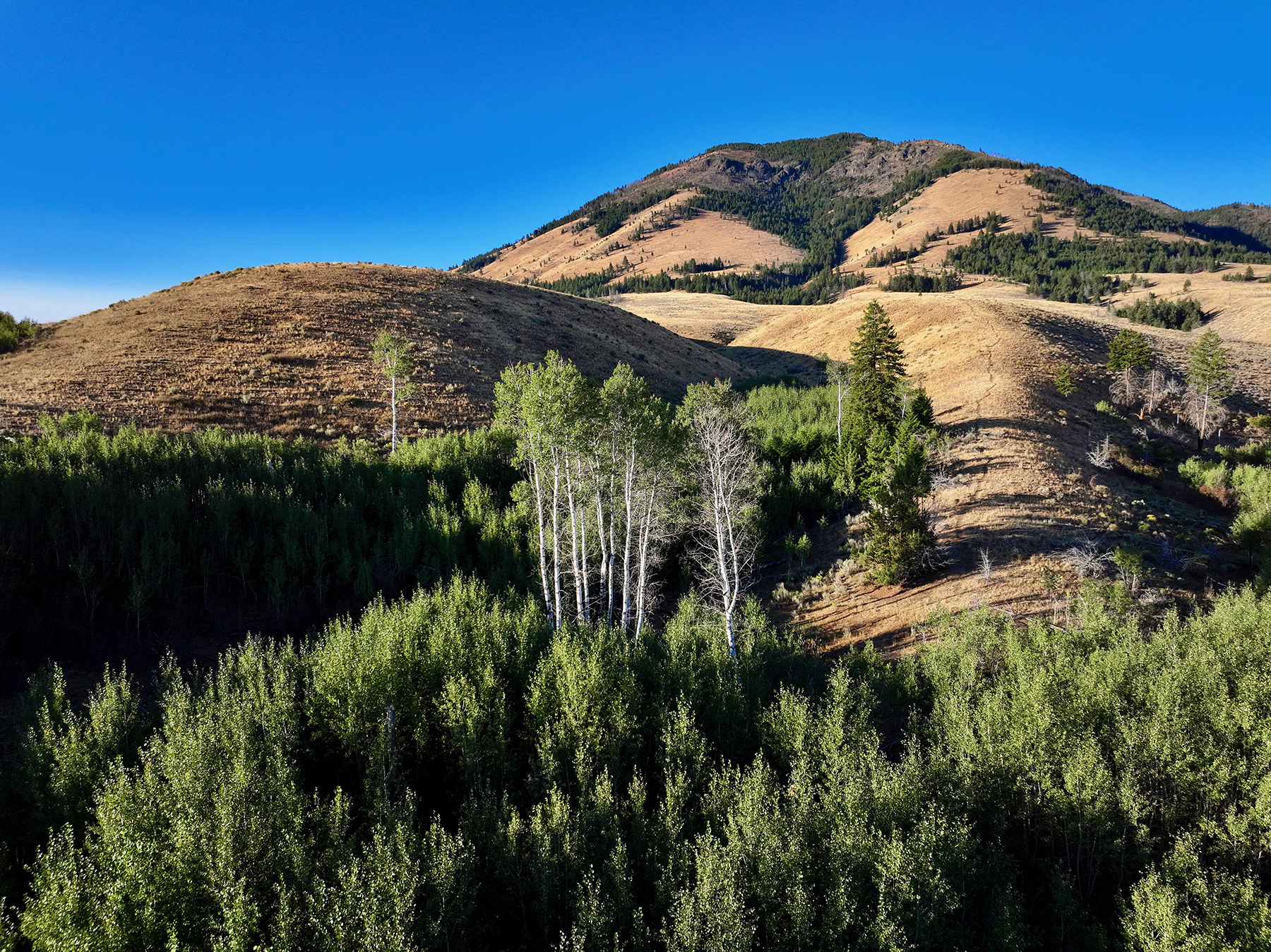
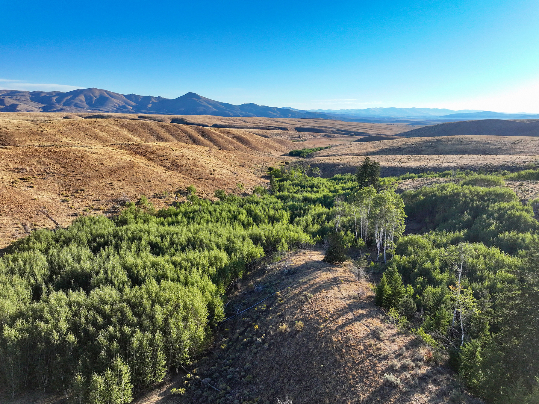
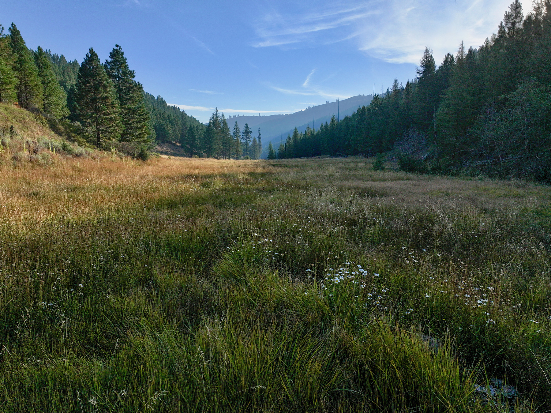
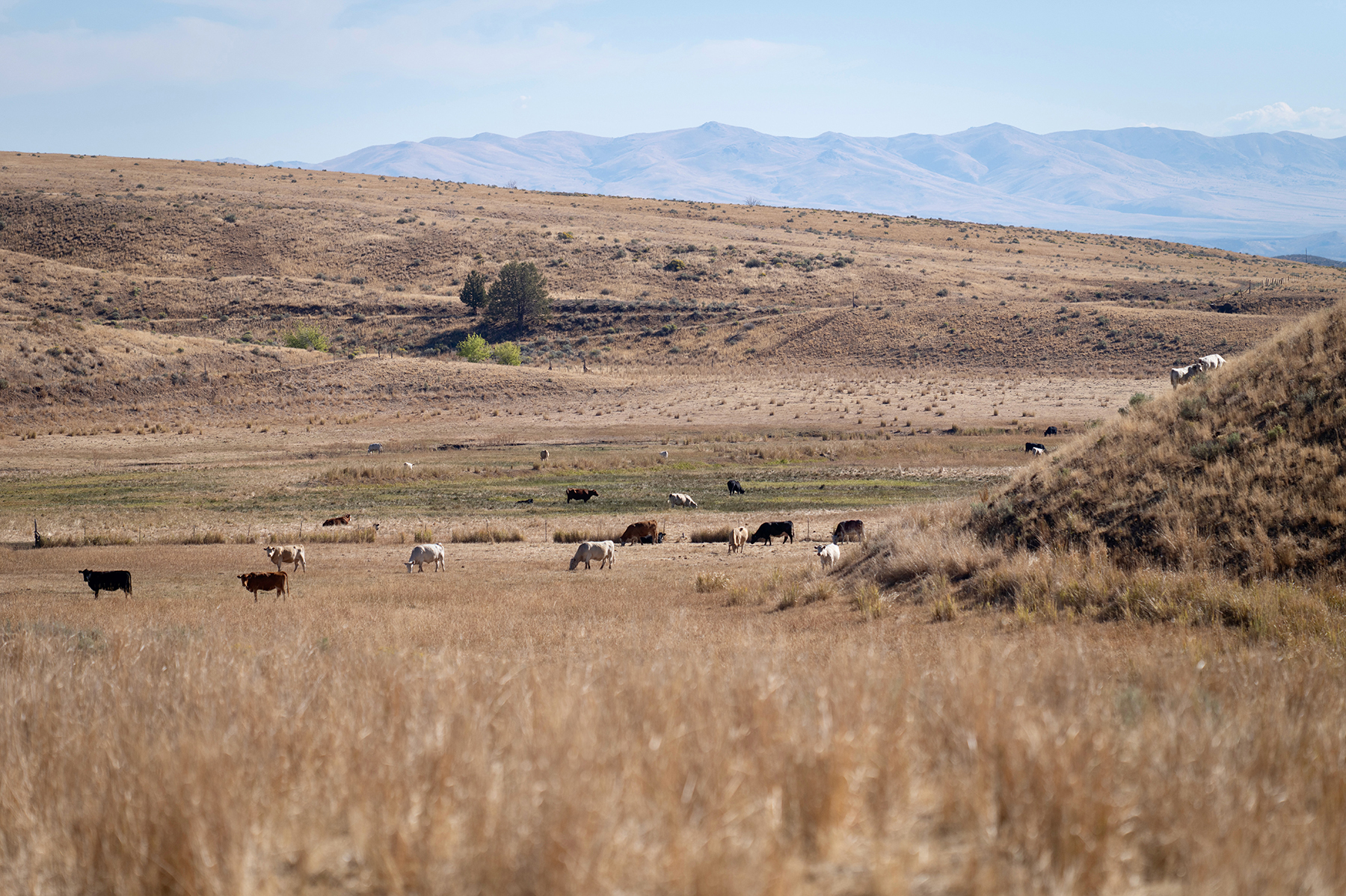
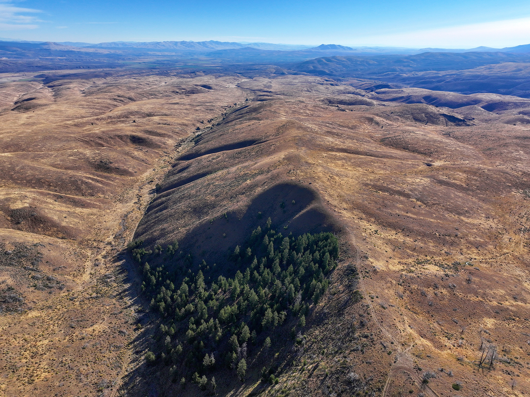
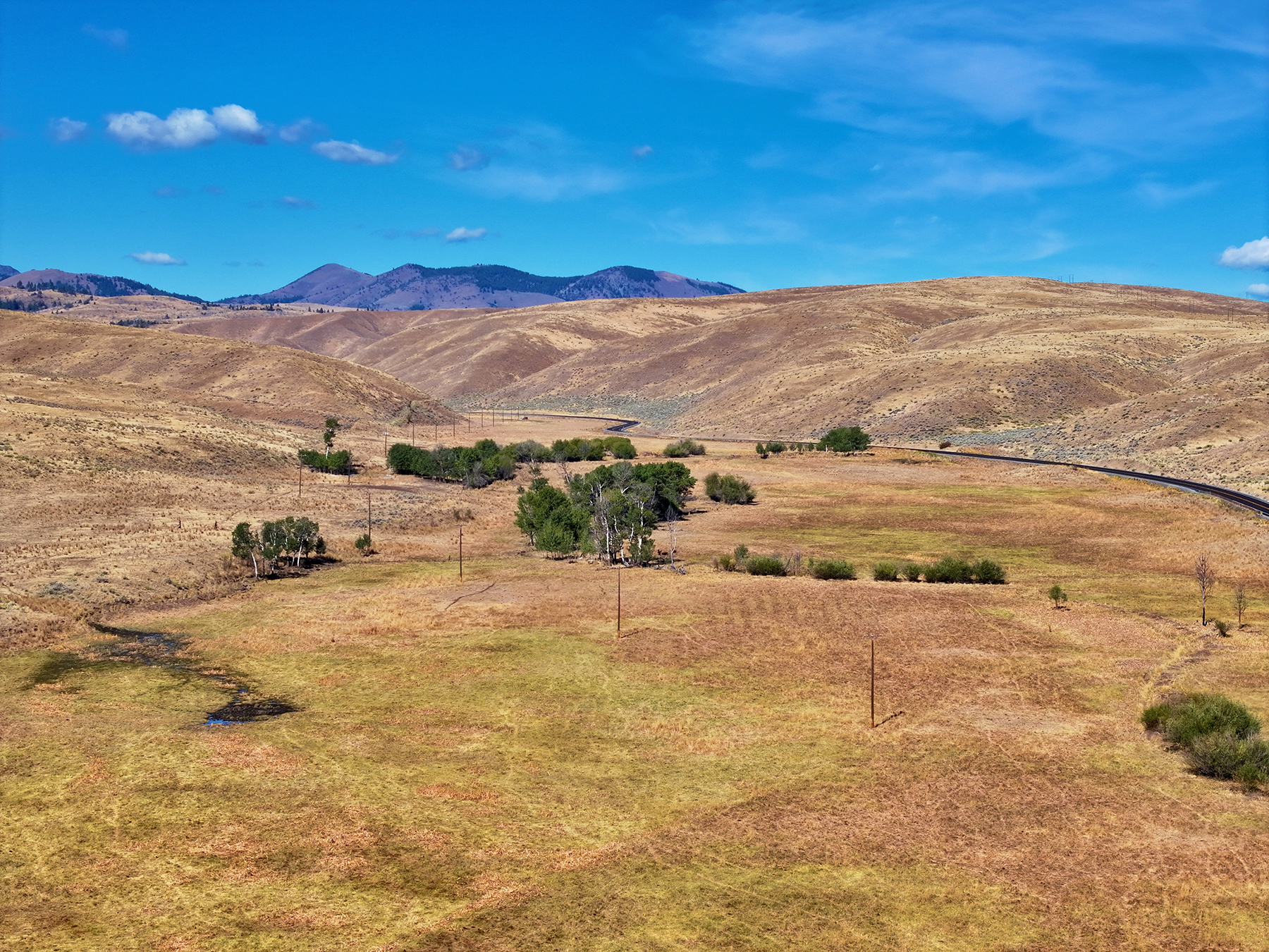
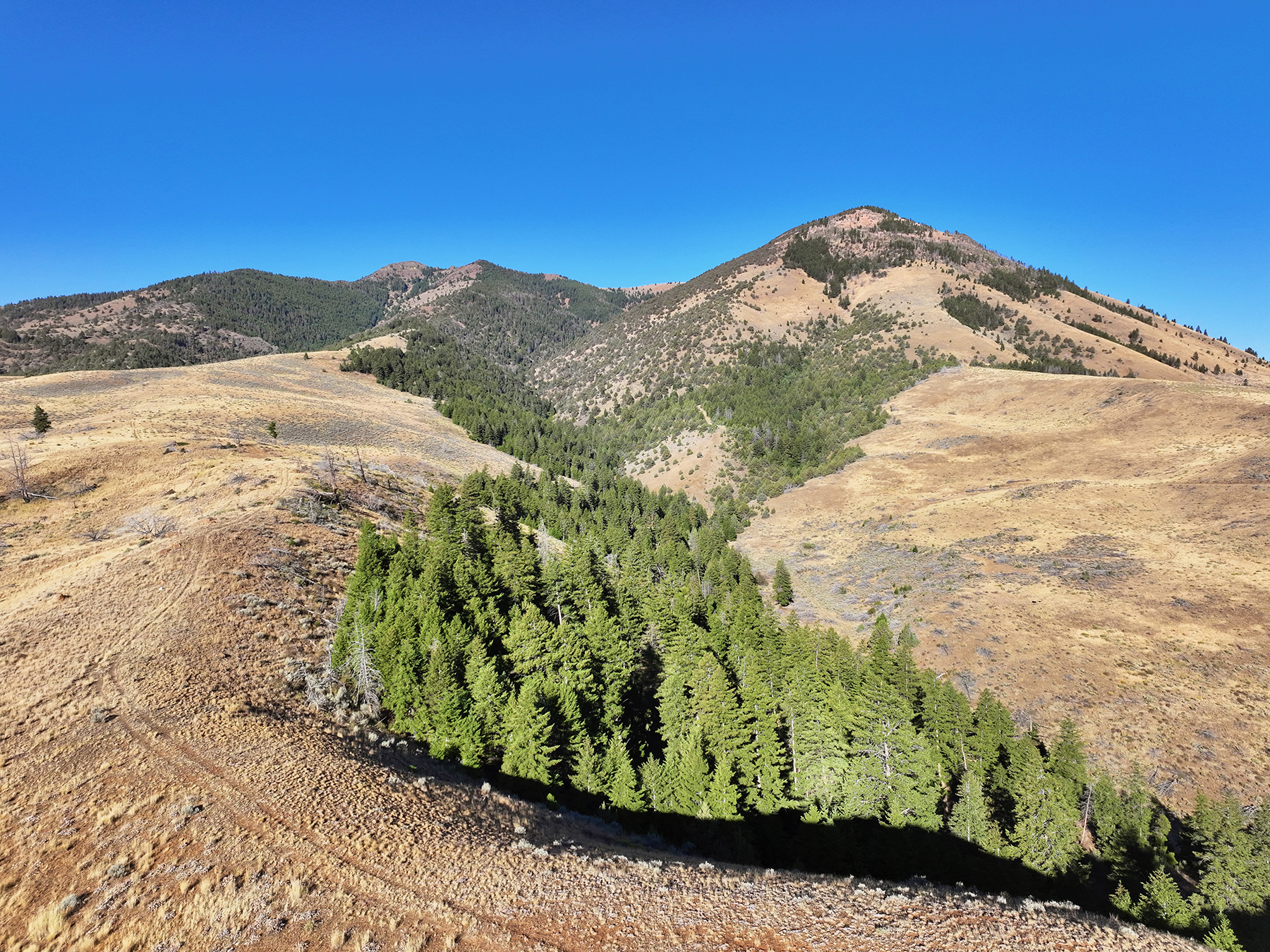
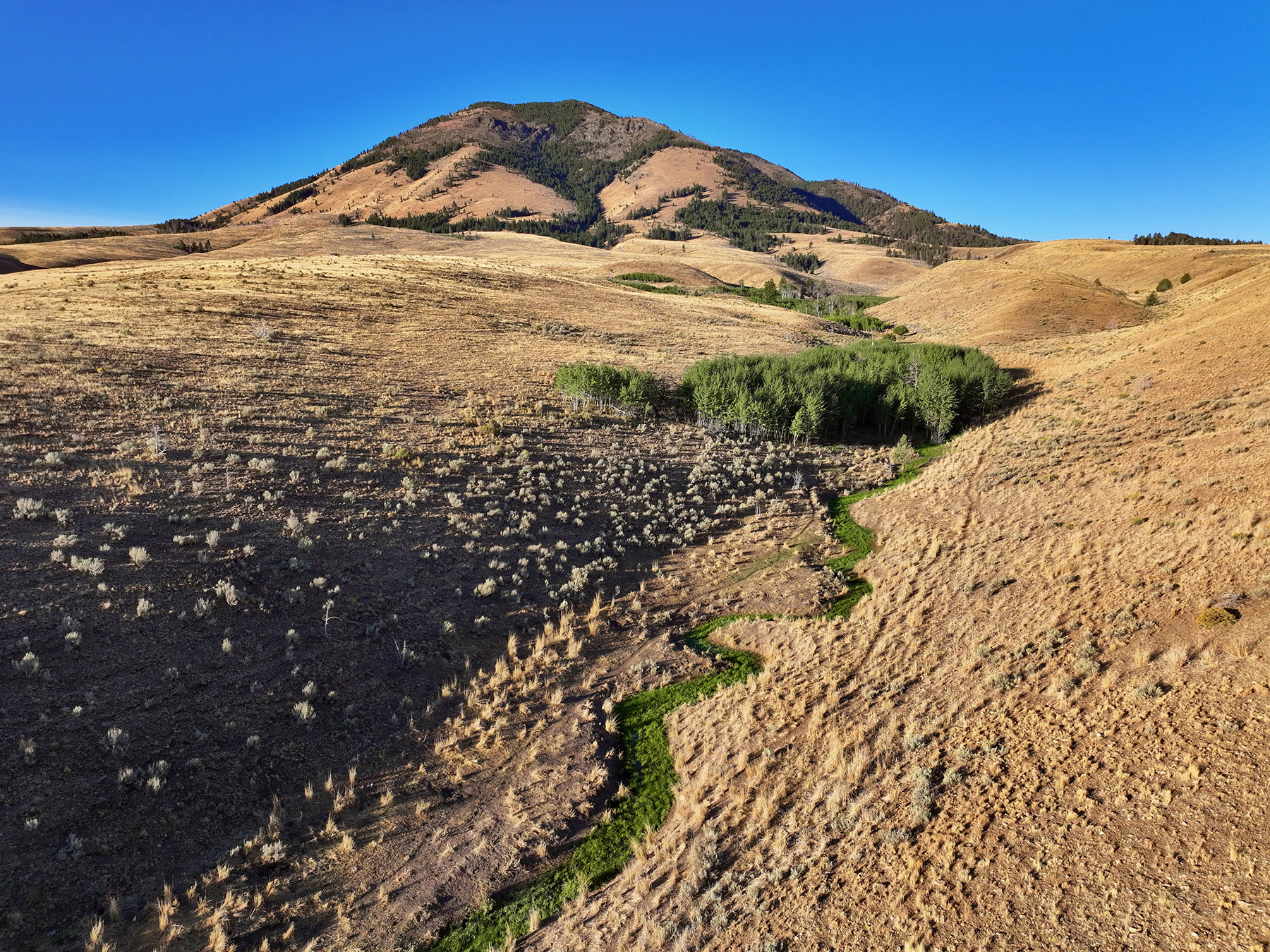
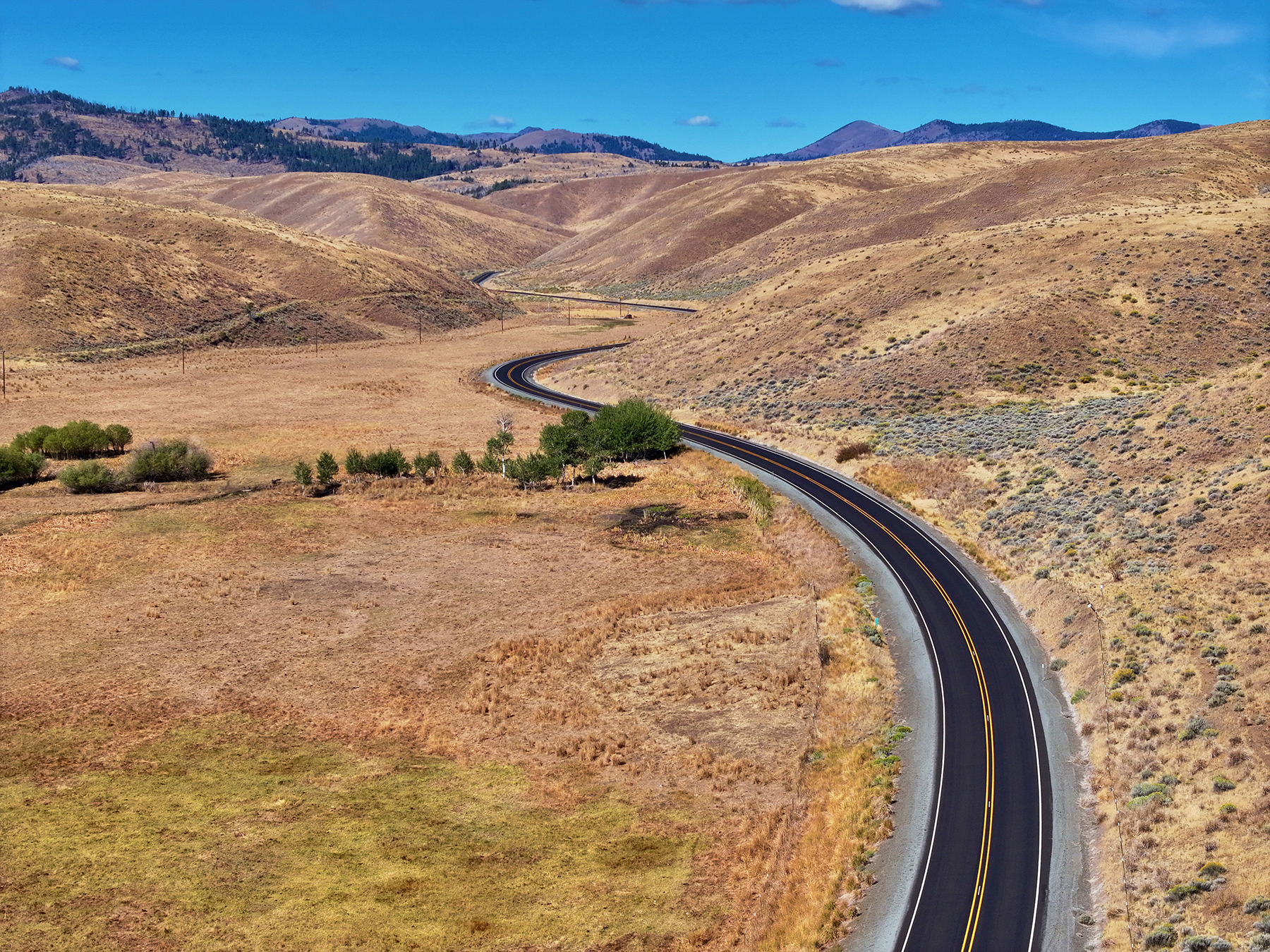
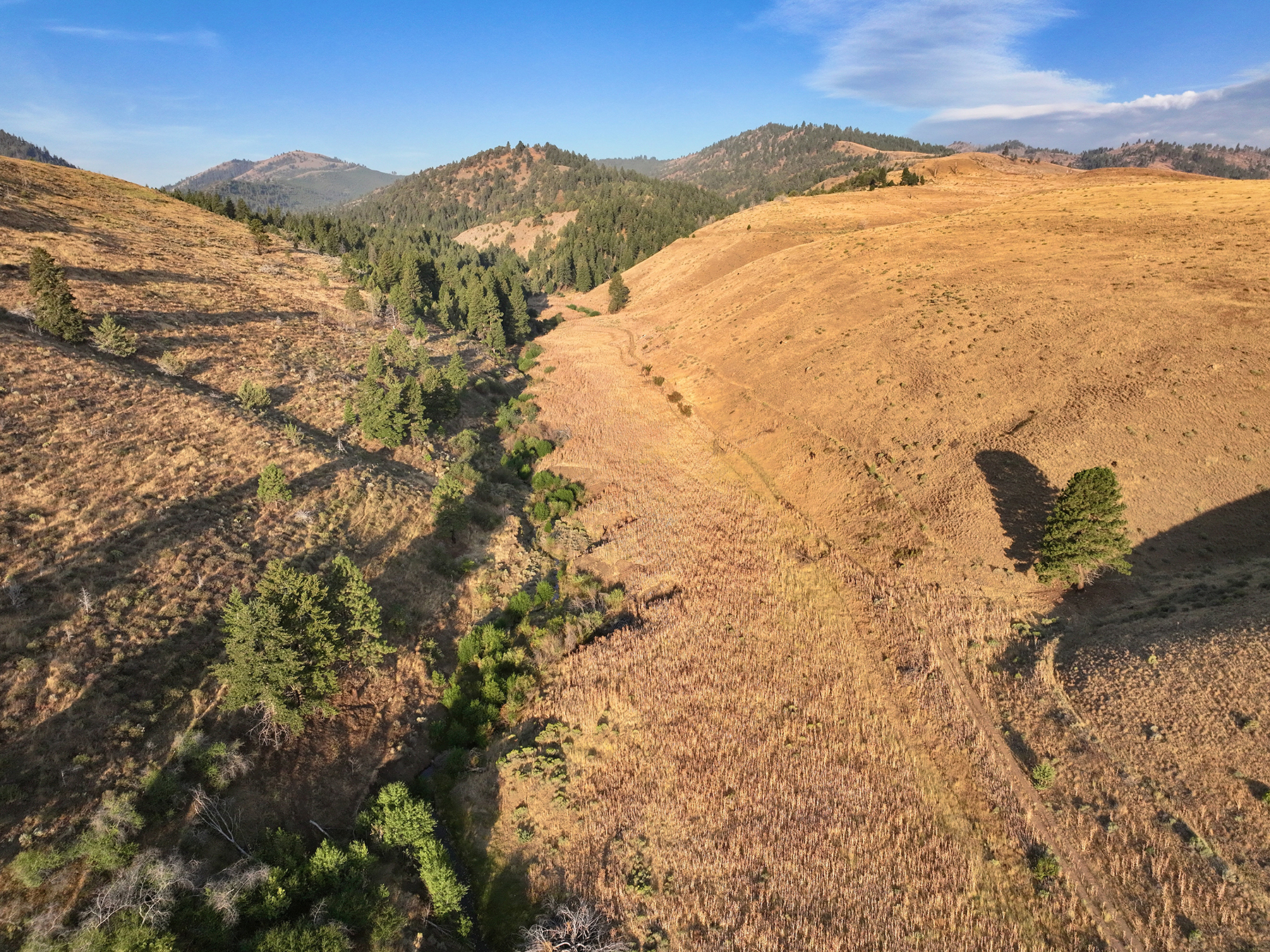
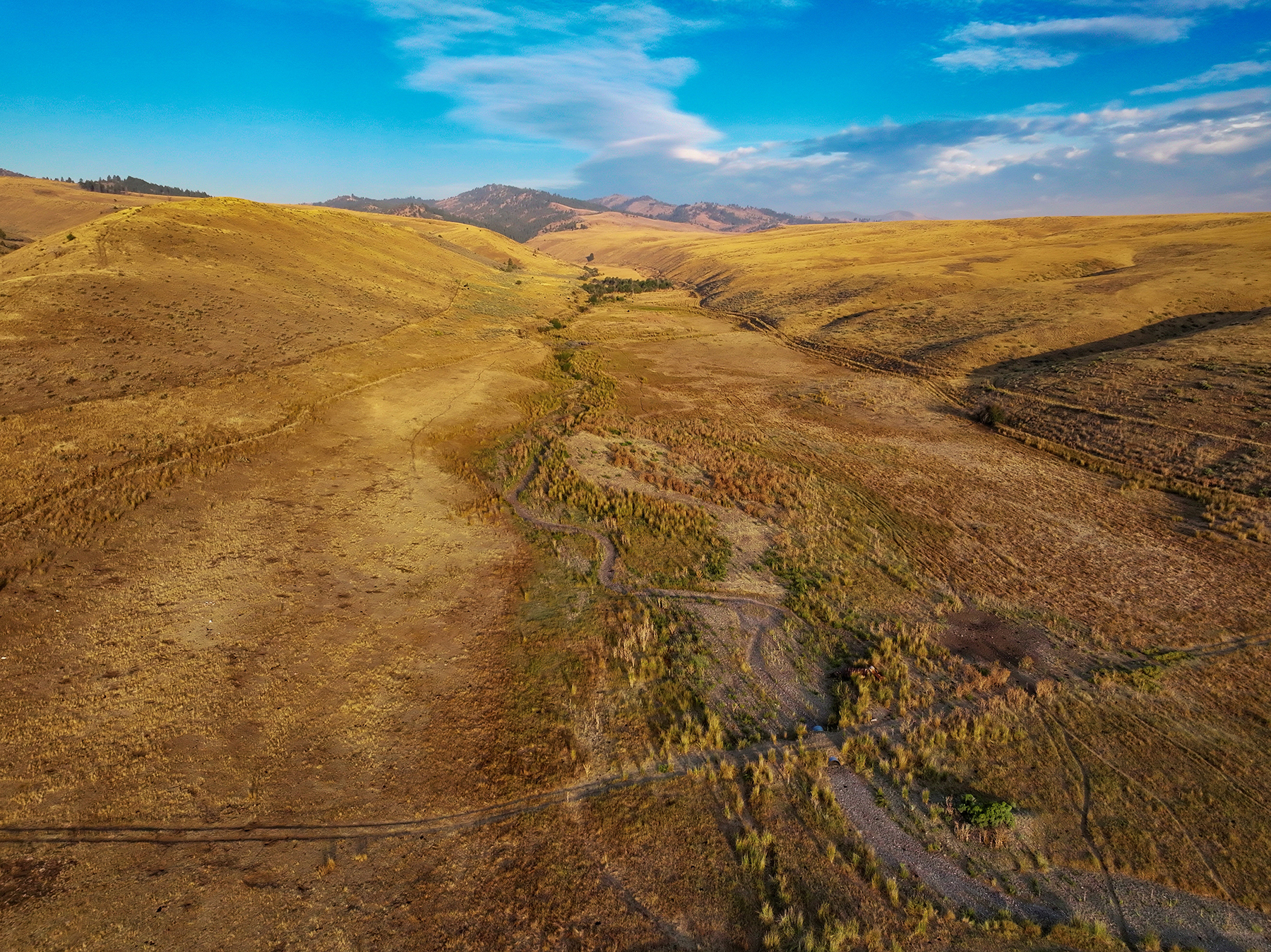
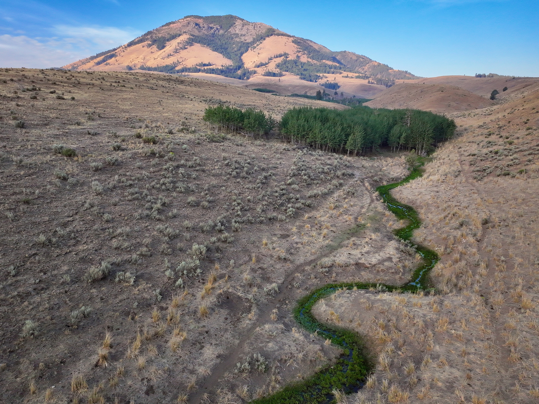
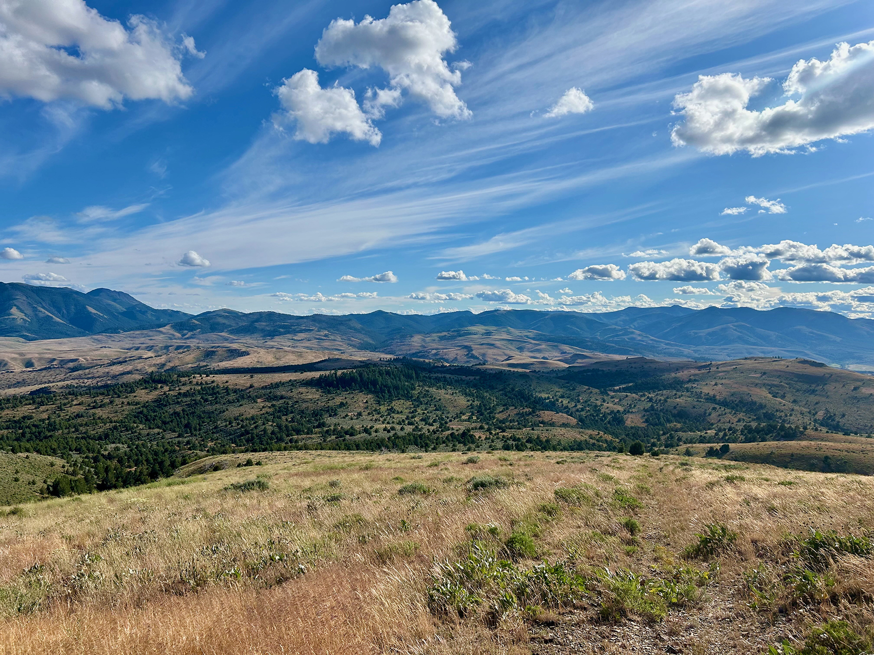
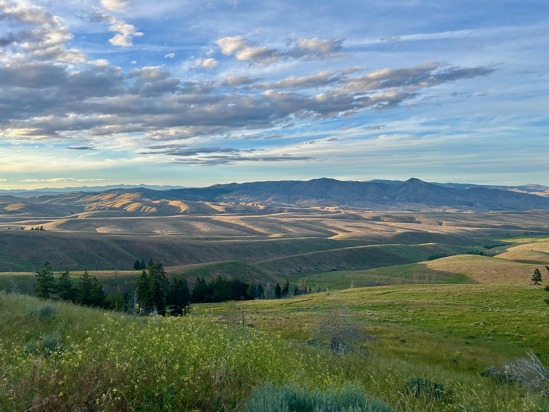
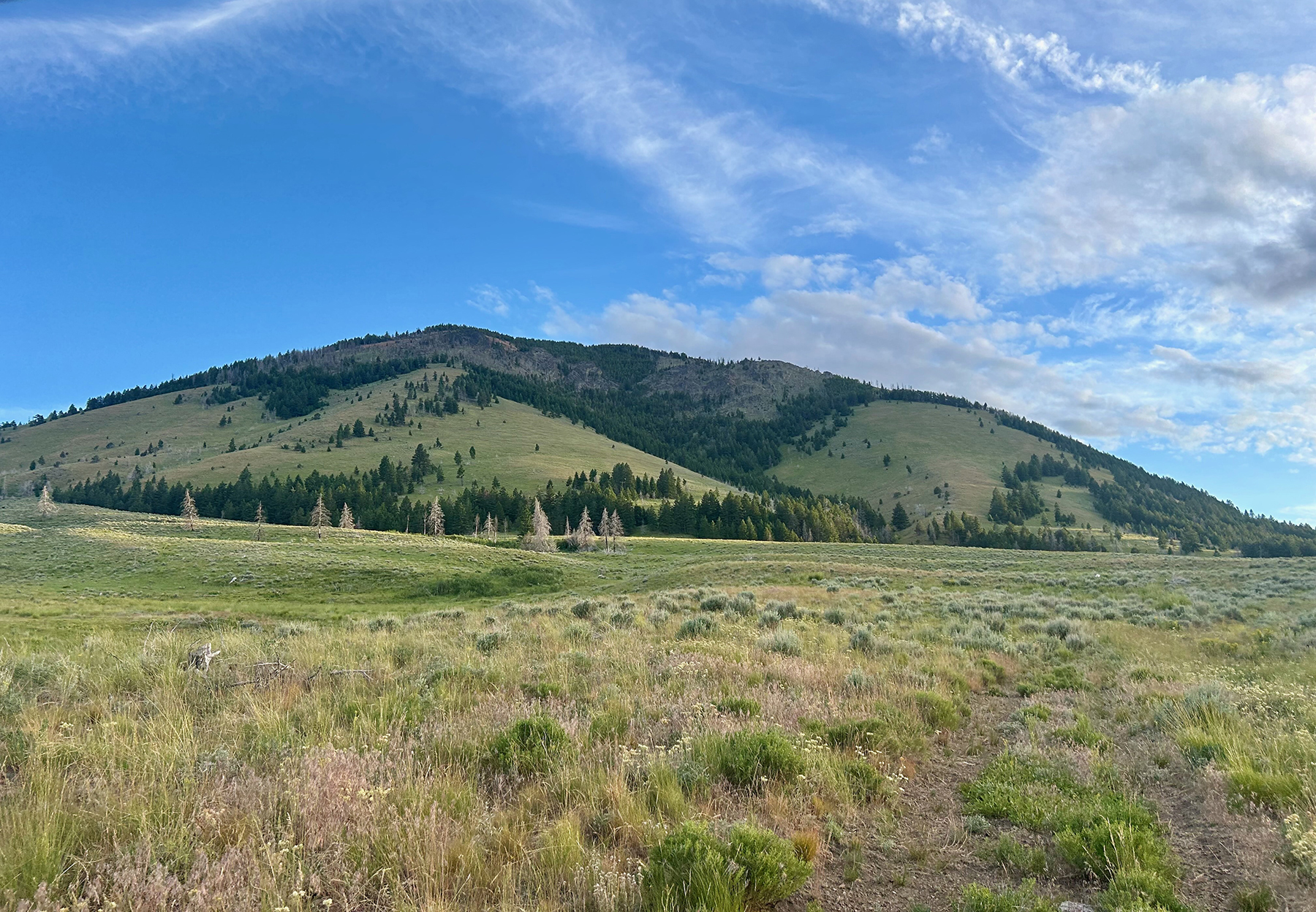
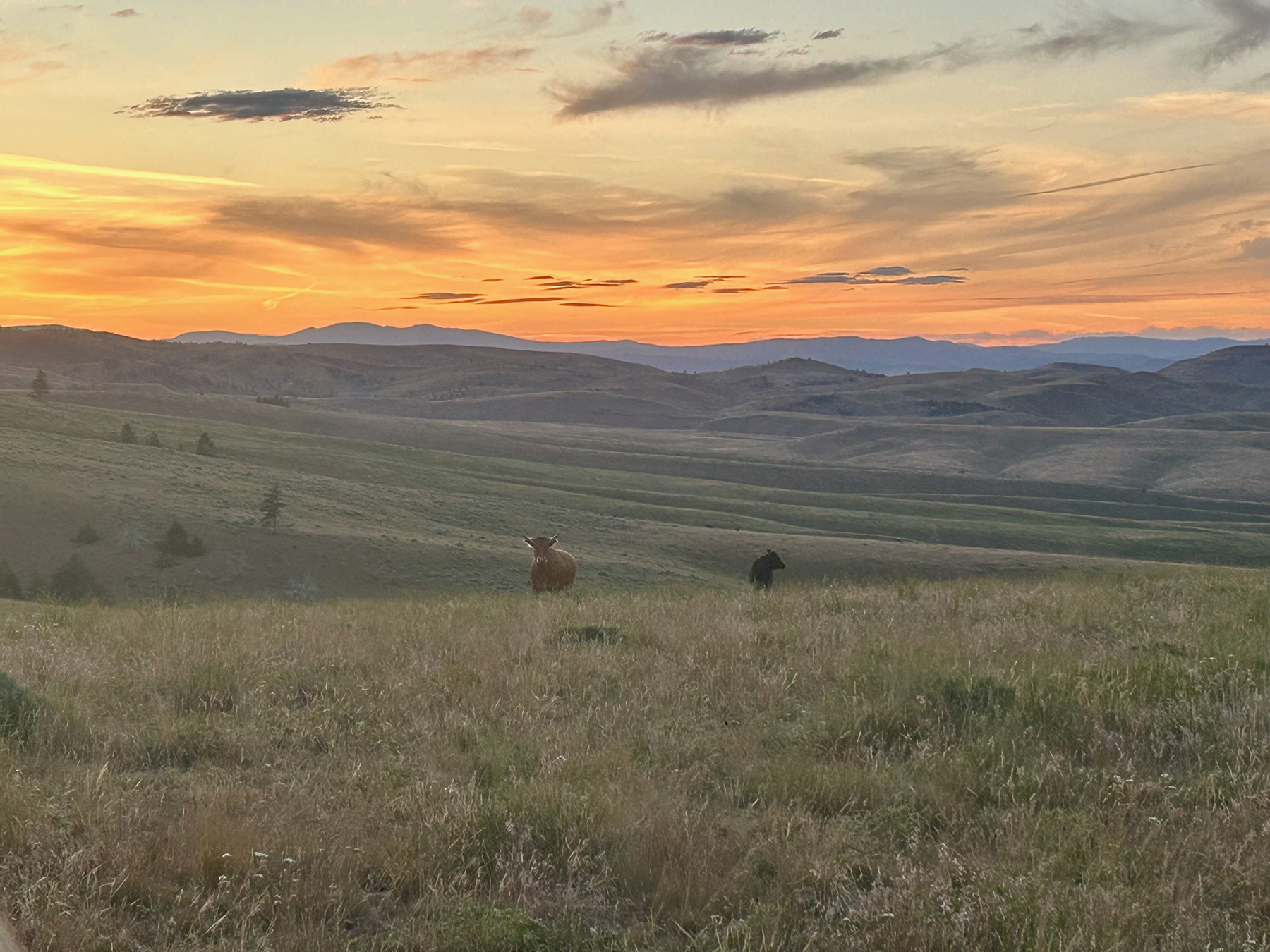
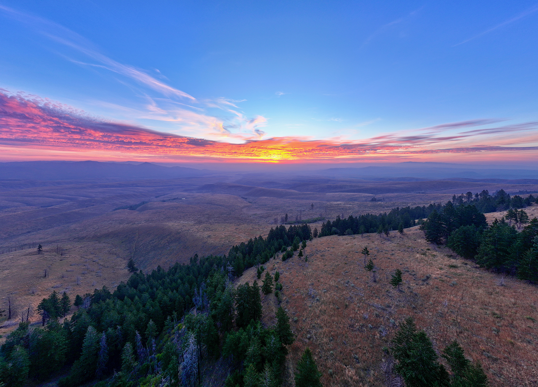
Ironside Mountain Ranch is a substantial eastern Oregon grazing and hunting property comprising approximately 14,935 deeded acres together with an estimated 20,500 acres of adjoining U.S. Forest Service (USFS) and Bureau of Land Management (BLM) grazing allotments. Located just west of the historic ranching community of Ironside, the ranch lies along the eastern flank of the Blue Mountains and features a diverse landscape of irrigated meadows, open rangelands, timbered grazing areas, and seasonal drainages.

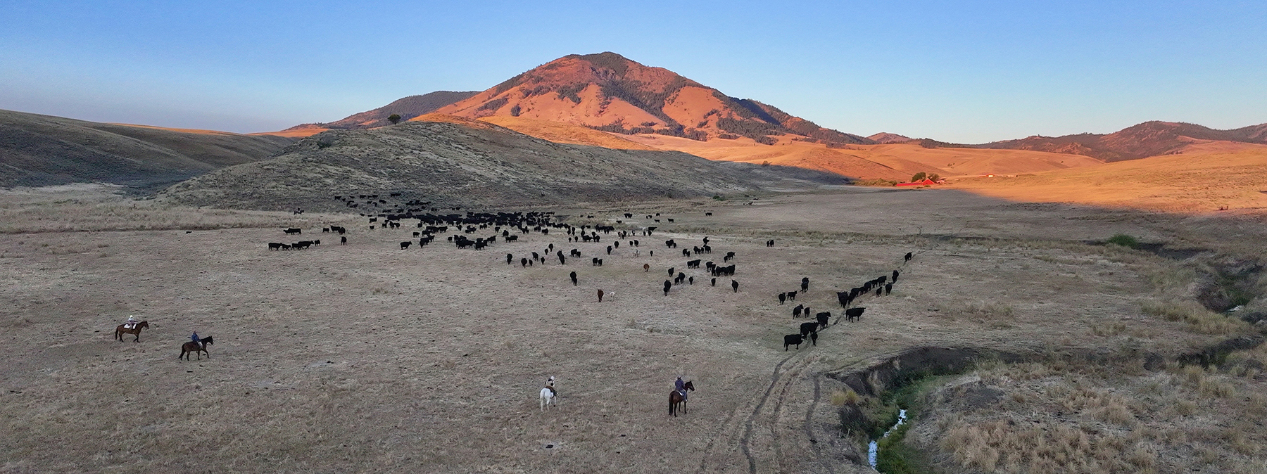
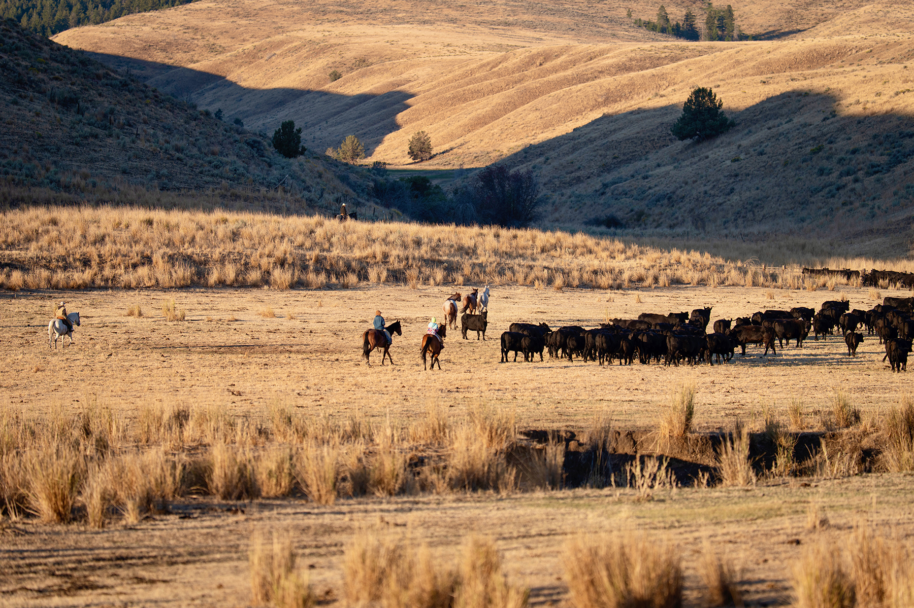
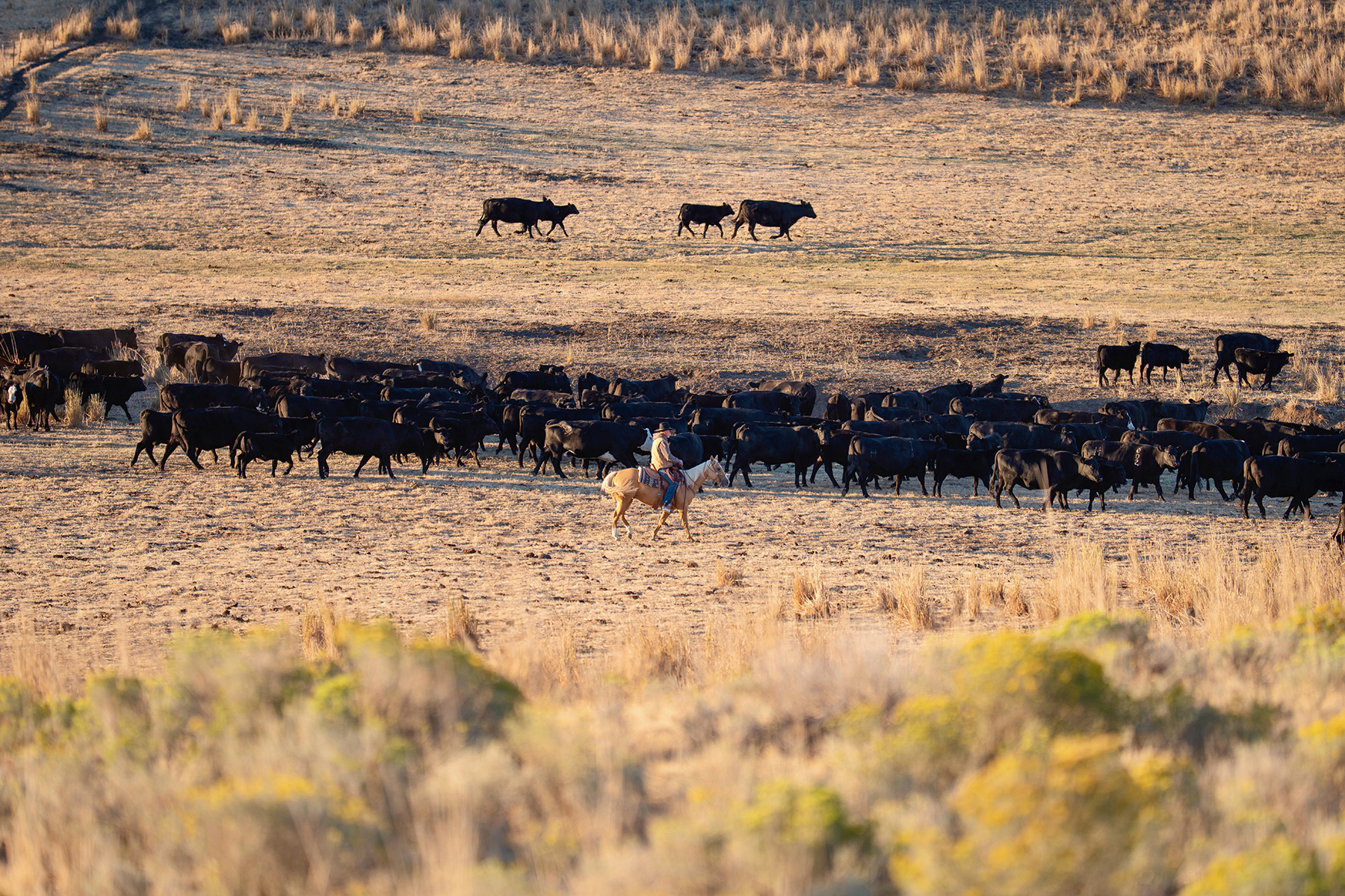
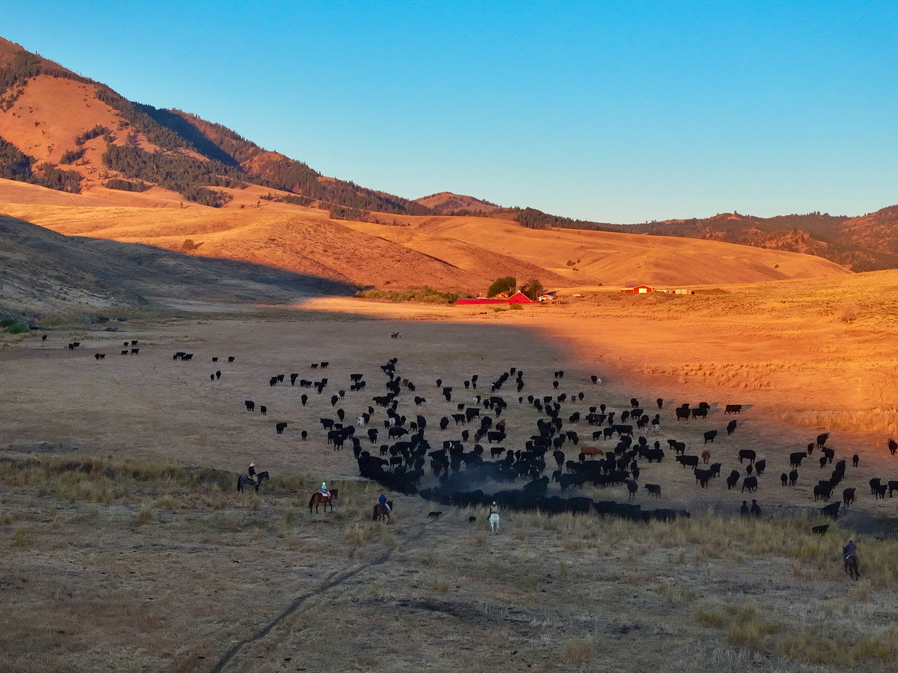
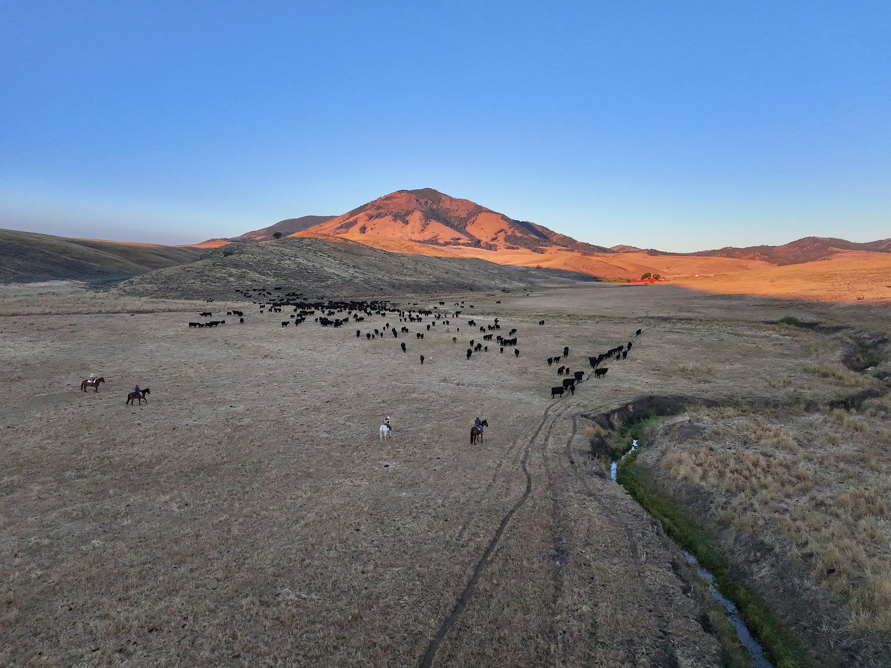
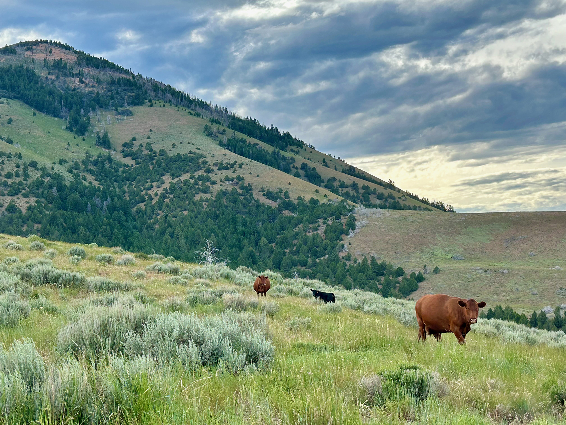
Historically operated as a large, contiguous, grazing unit, the ranch supports 800 to 900 head when utilized in conjunction with its associated federal grazing permits. One of the ranch’s most important operational advantages is direct, “out-the-gate” access from the deeded property to the USFS and BLM grazing allotments, enabling cattle to move directly between the private lands and adjoining public grazing areas without hauling or trailing to distant or disconnected pastures.

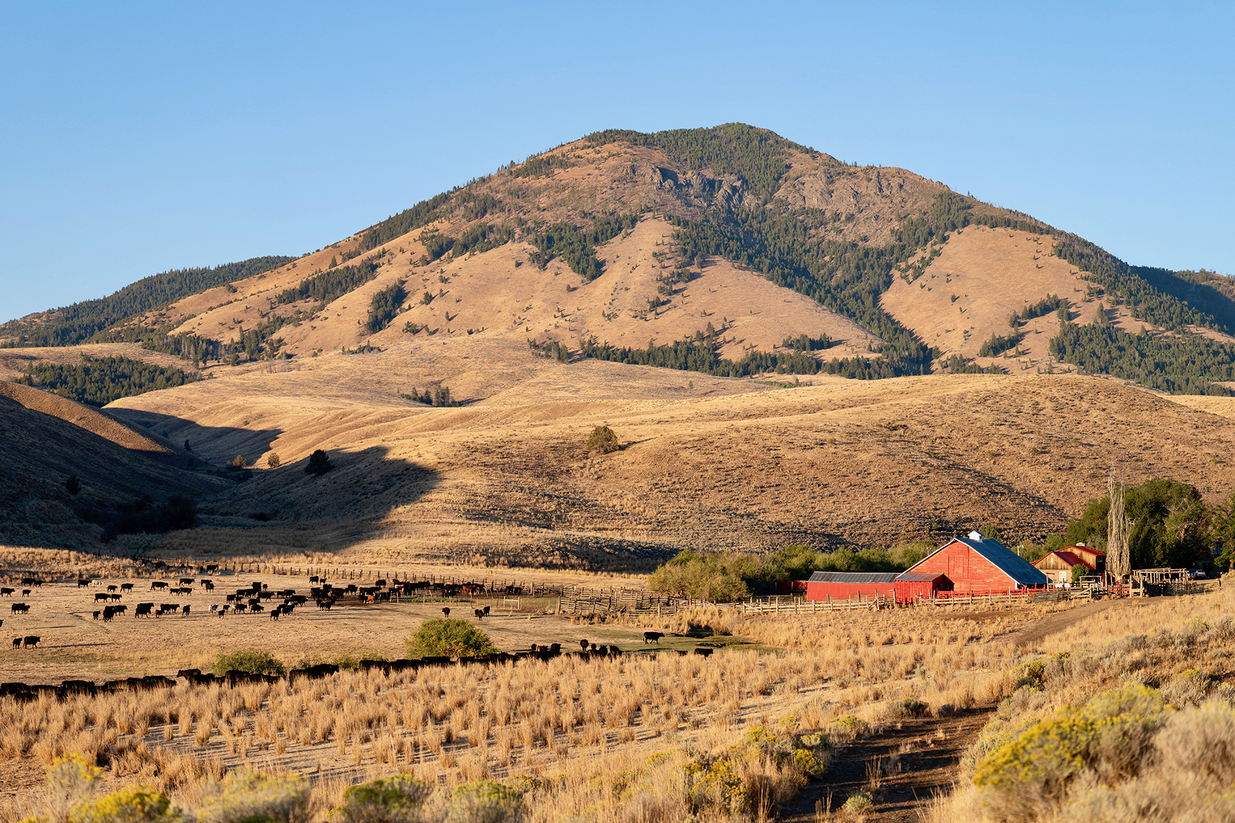
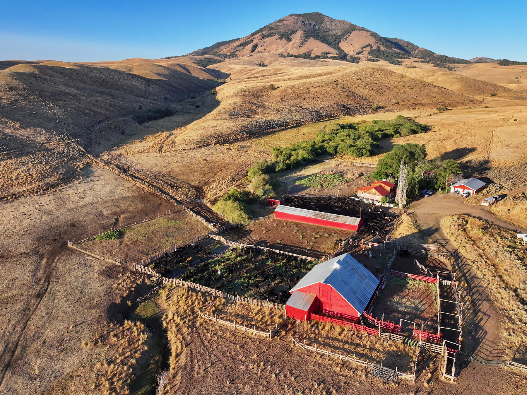
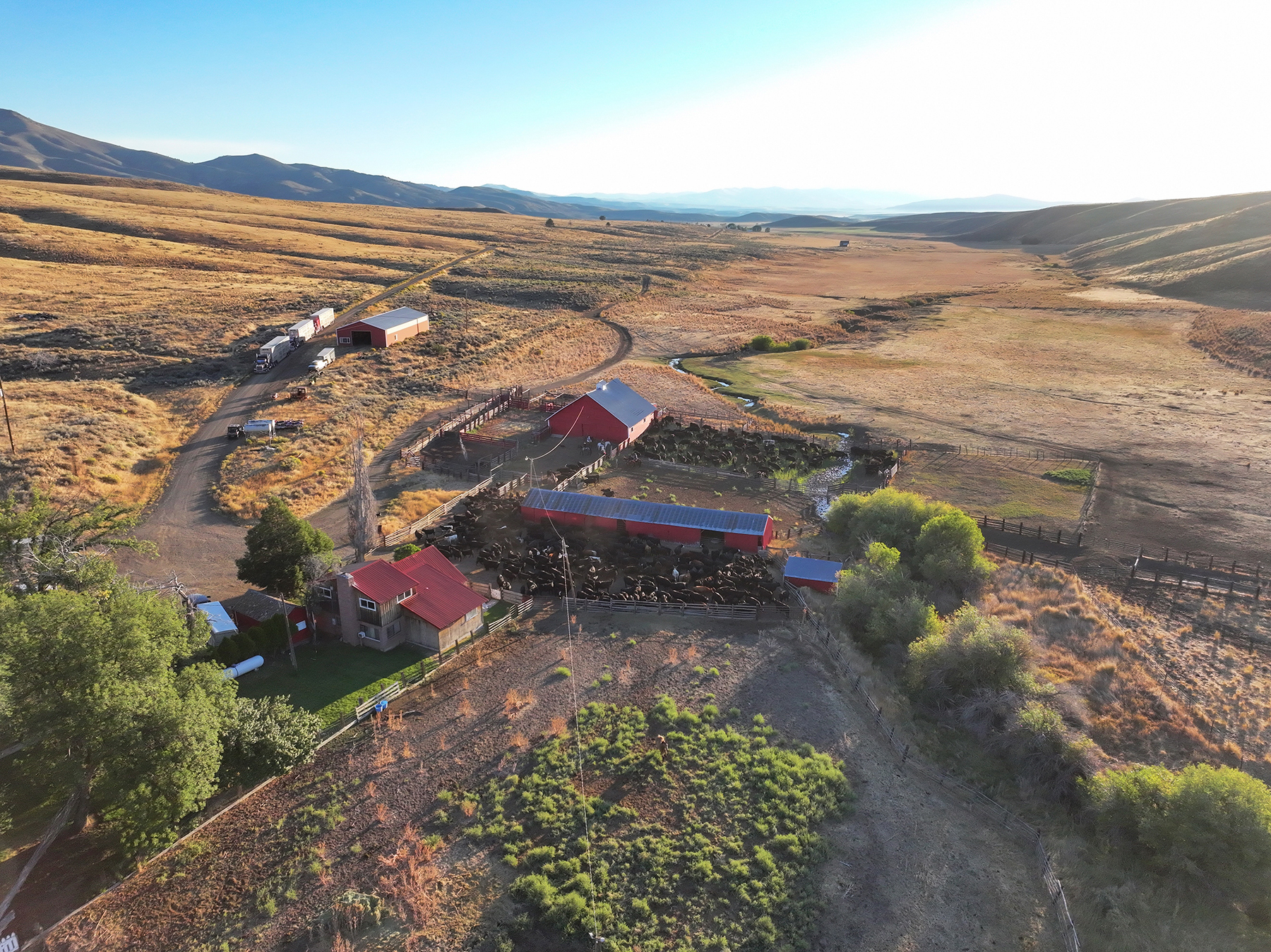
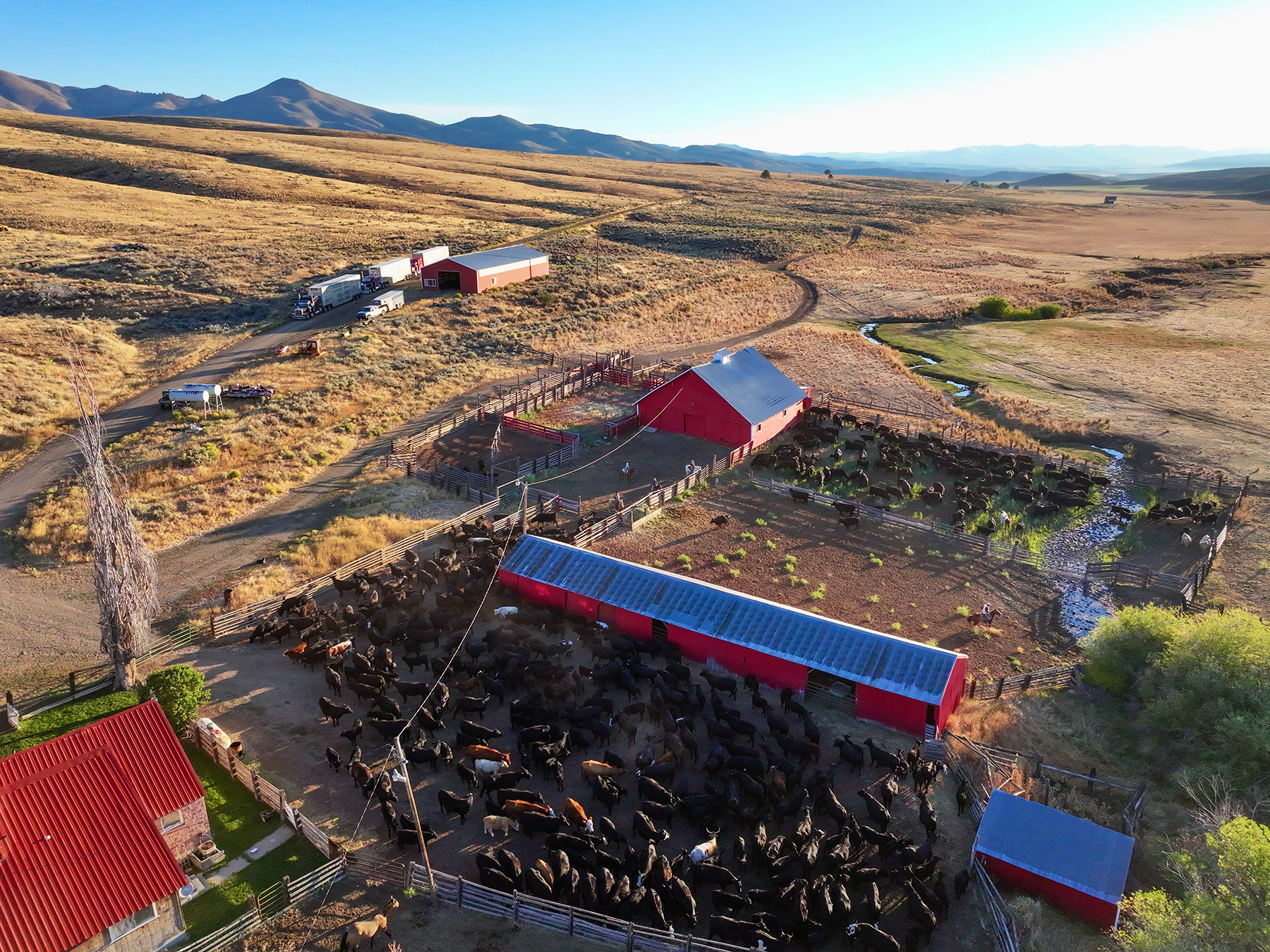
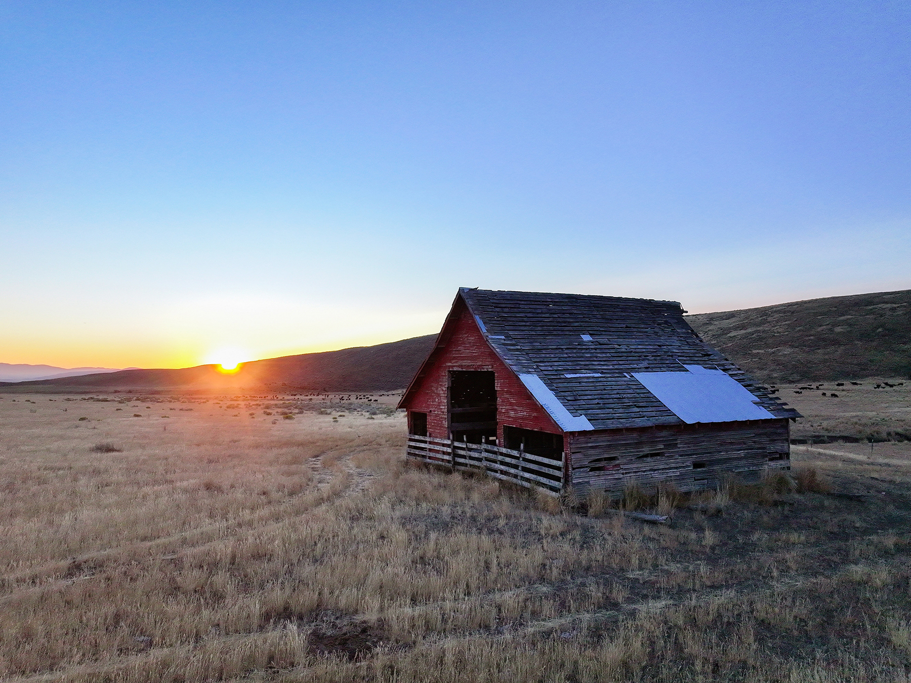
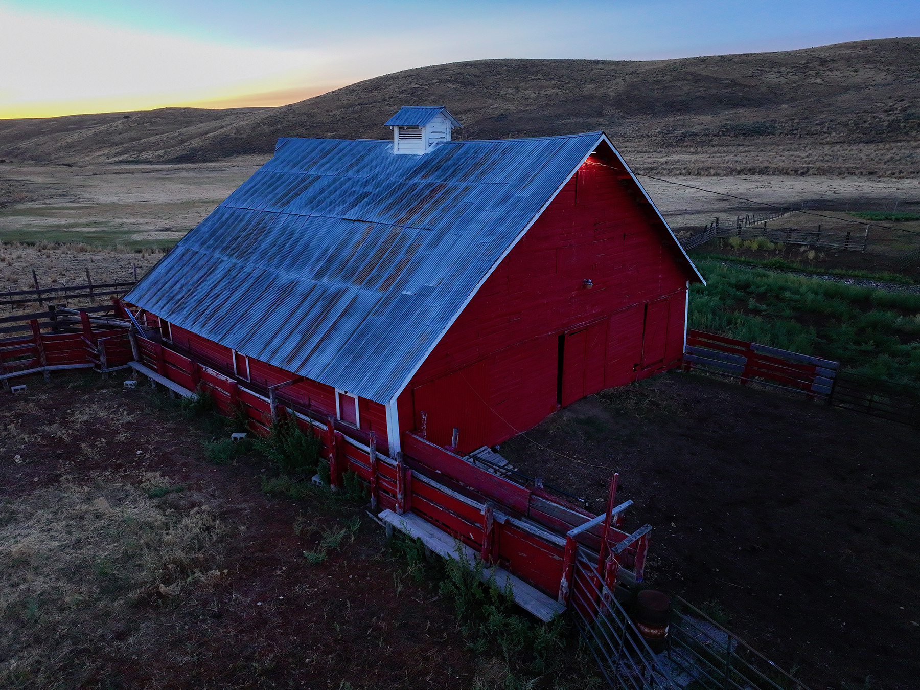
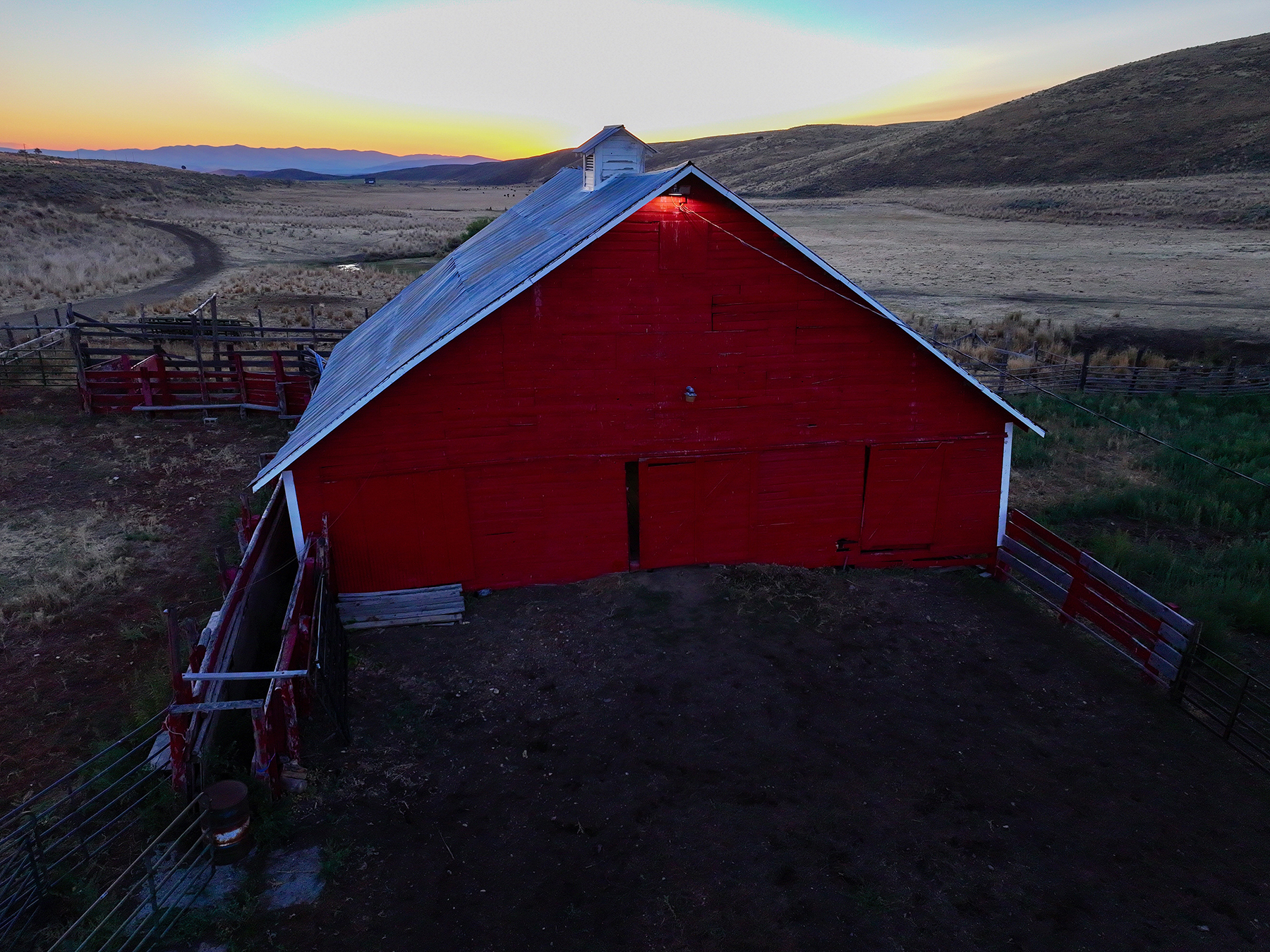
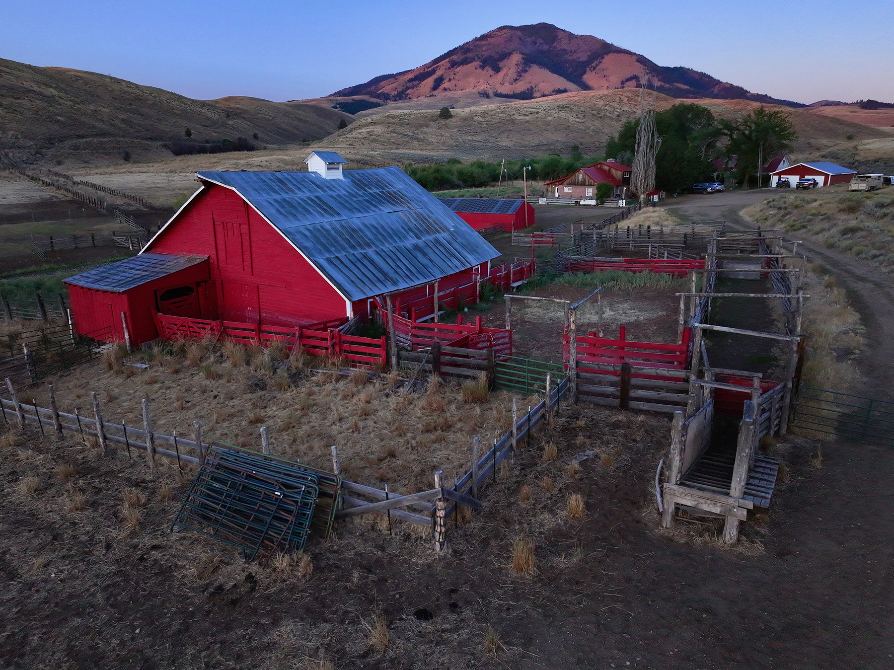
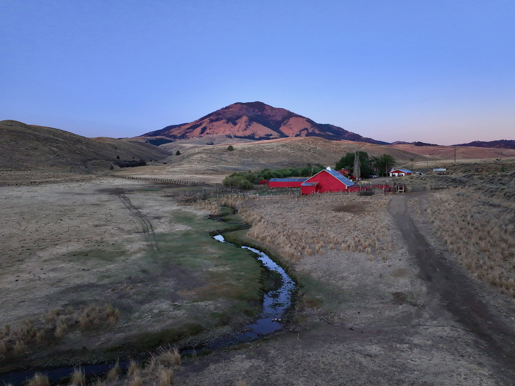
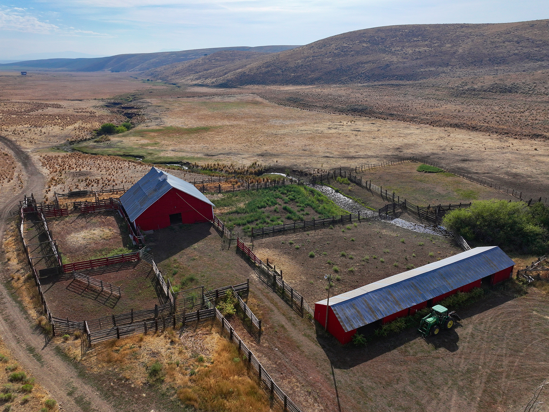
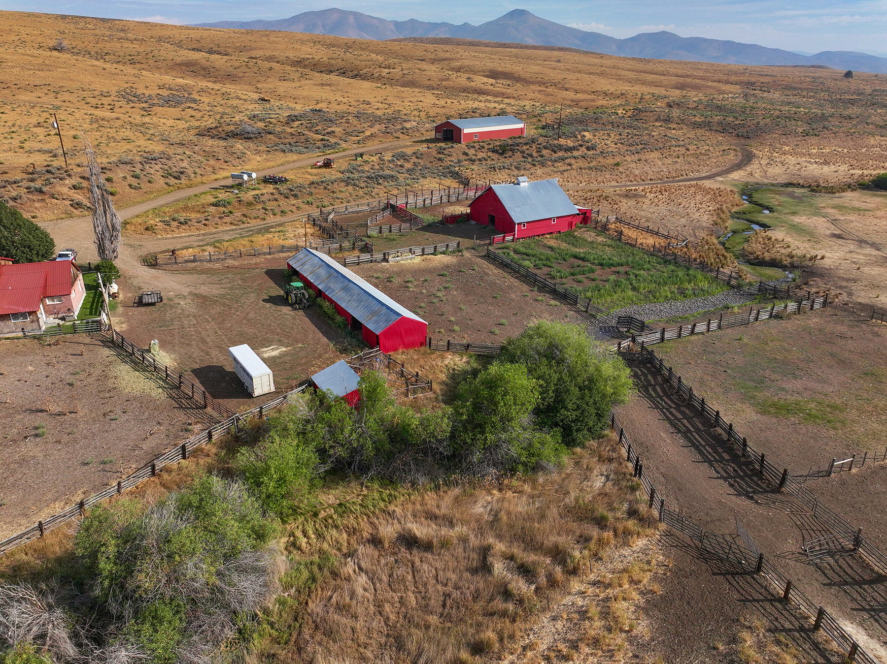
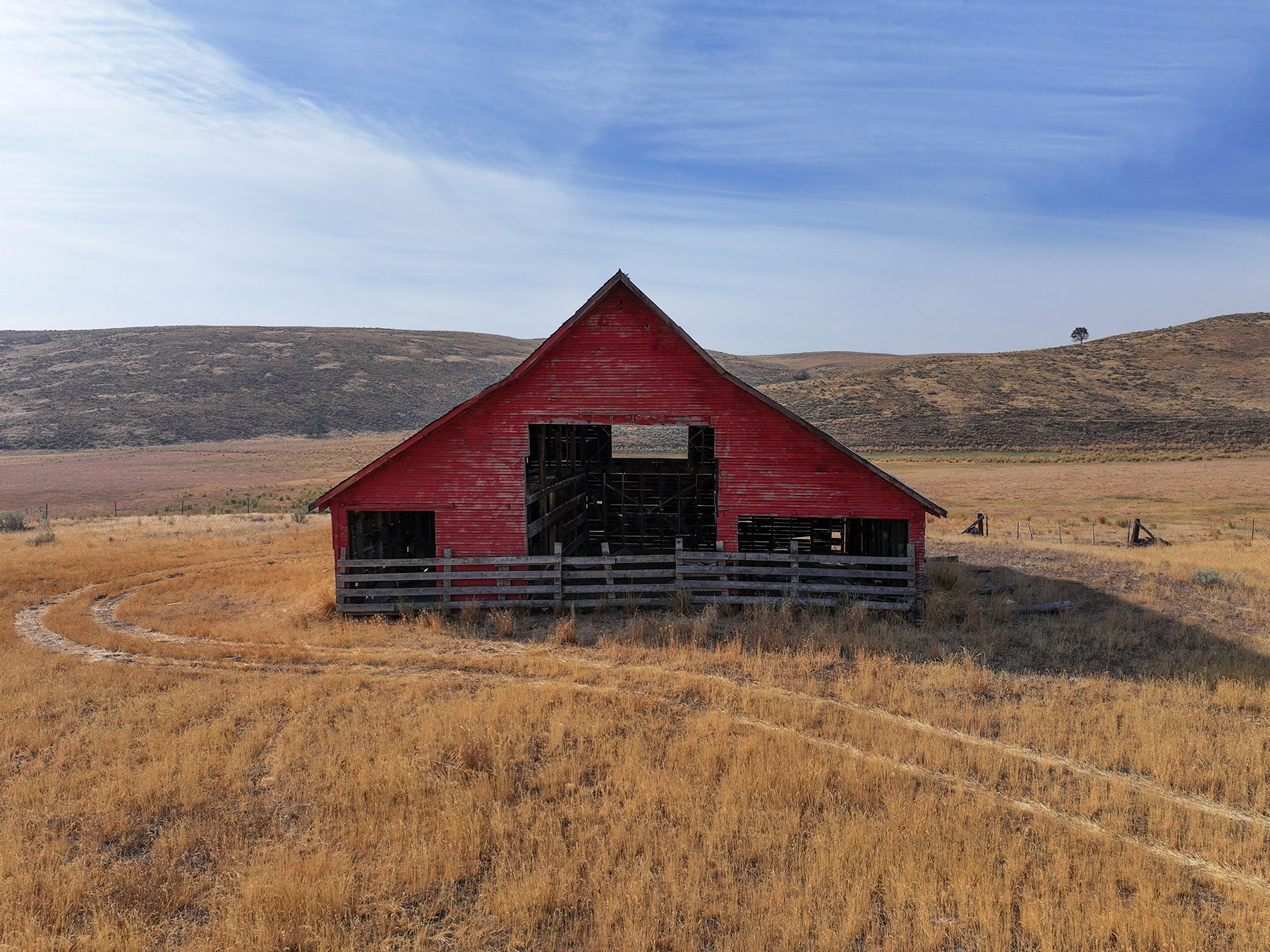
Located on year-round Willow Creek, the ranch headquarters includes two residences along with a basic but functional set of agricultural improvements, including a machine shed, a livestock barn, a multipurpose shed, certified livestock scales, and additional outbuildings supporting day-to-day operations. The ranch’s timbered ridges, open rangelands, irrigated meadows, and water sources support a broad range of wildlife, including Rocky Mountain elk, mule deer, pronghorn antelope, and upland birds.

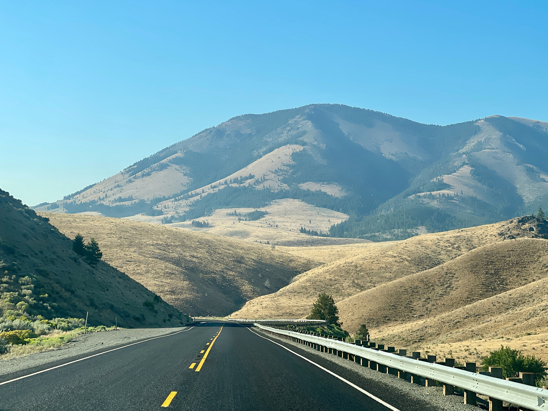
Easily accessed year-round from U.S. Highway 26, the ranch is located approximately 40 miles northwest of Vale, Oregon, 60 miles from Ontario, Oregon, and 120 miles from Boise, Idaho.

Just the Facts

  • Substantial grazing and hunting ranch in eastern Oregon, approximately 40 miles from Vale and 120 miles from Boise, Idaho
  • Encompasses over 35,000± contiguous, total acres, including 14,935± deeded acres and 20,500± in federal grazing allotments under permit to the ranch
  • Historically supports 800 to 900 head on a seasonal basis
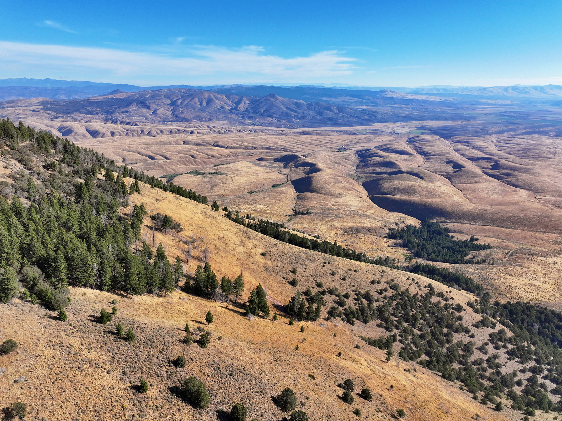
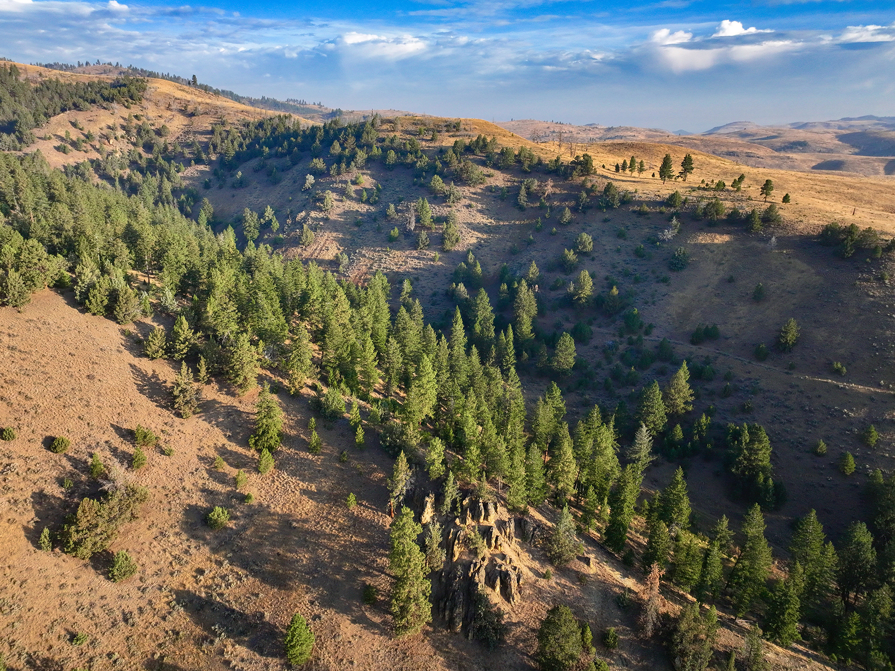
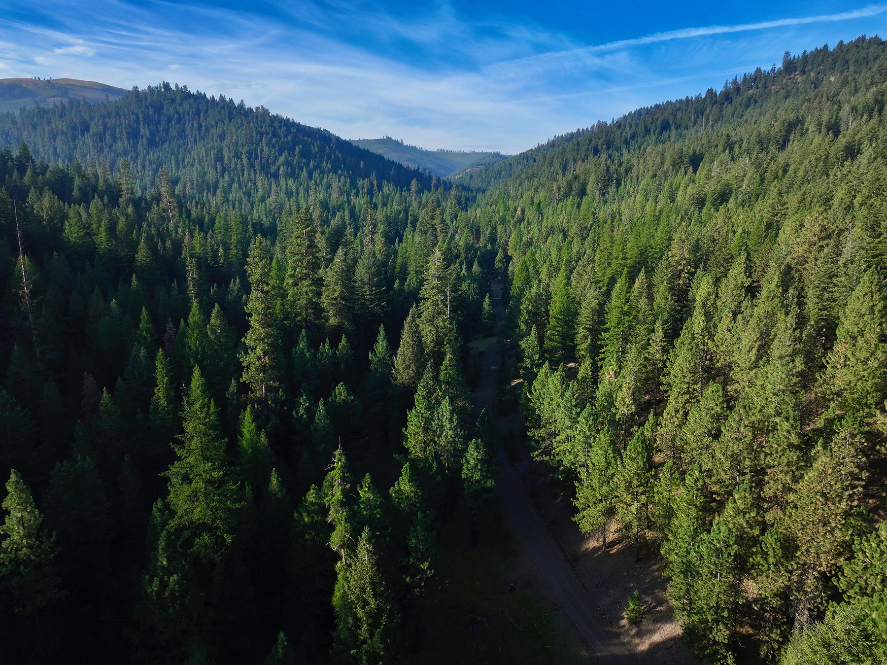
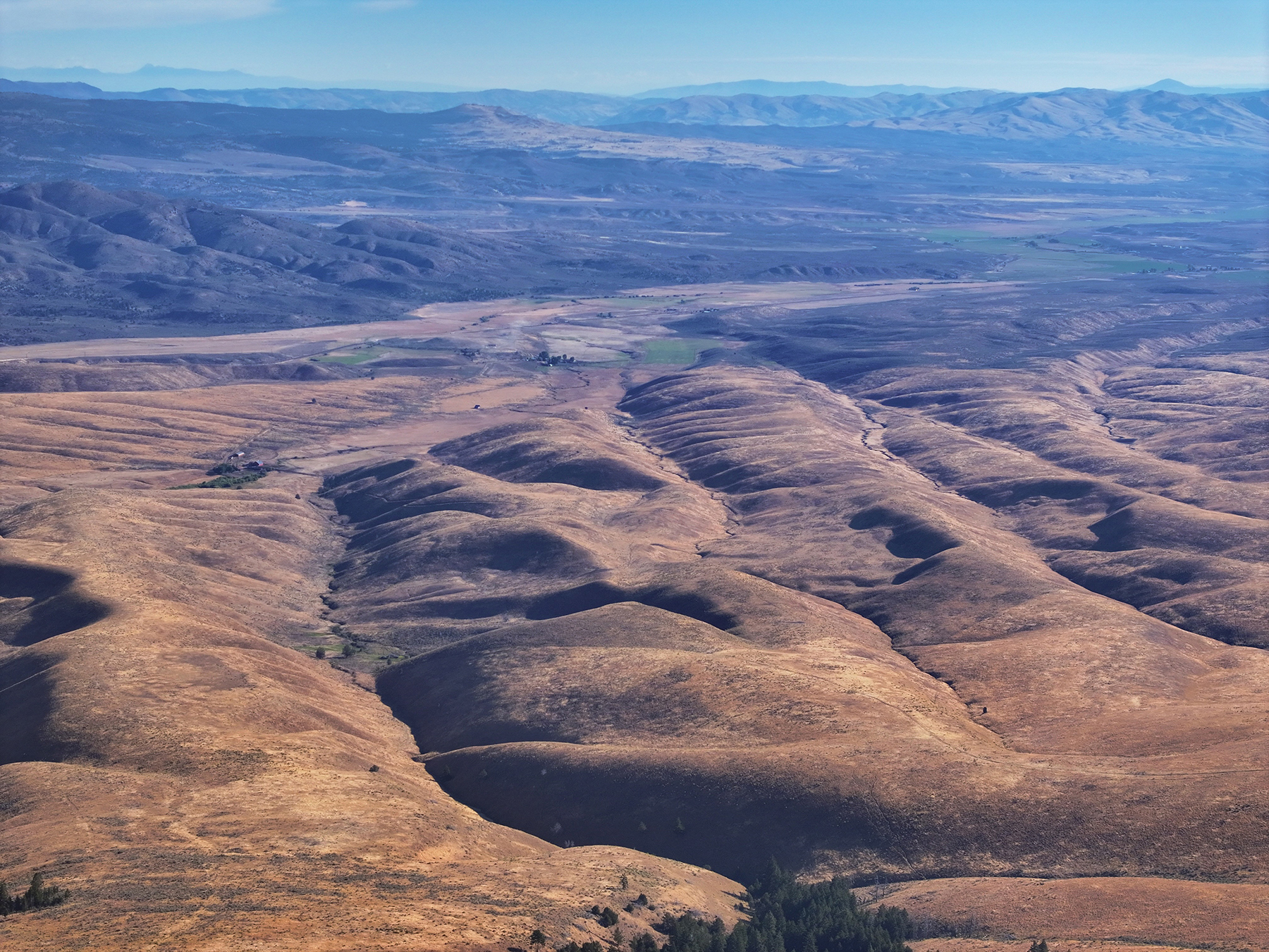
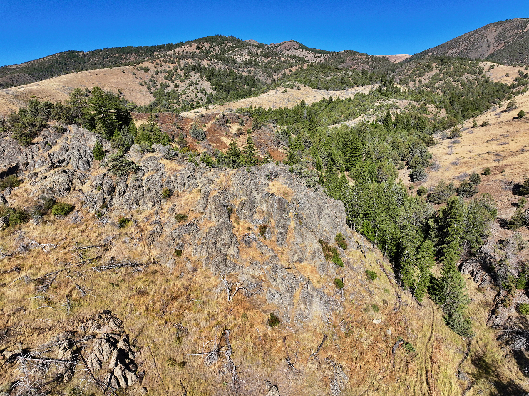
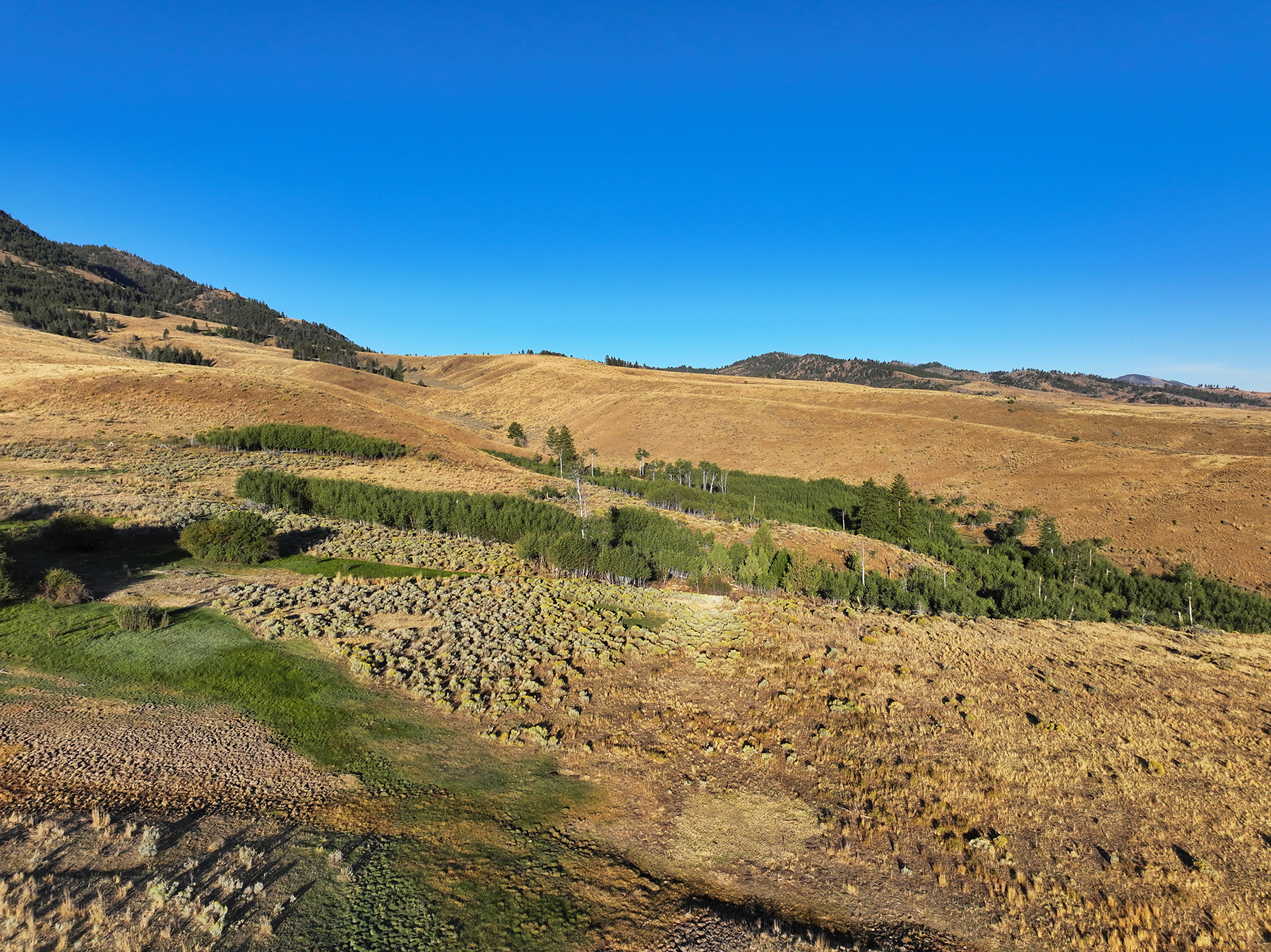
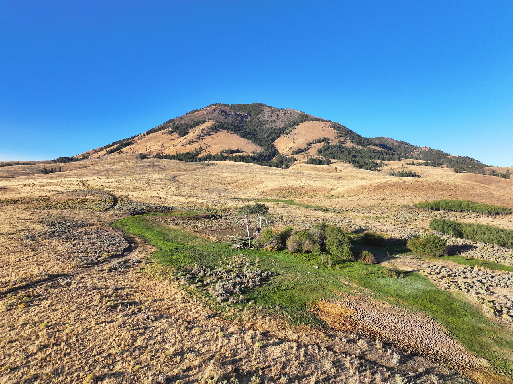
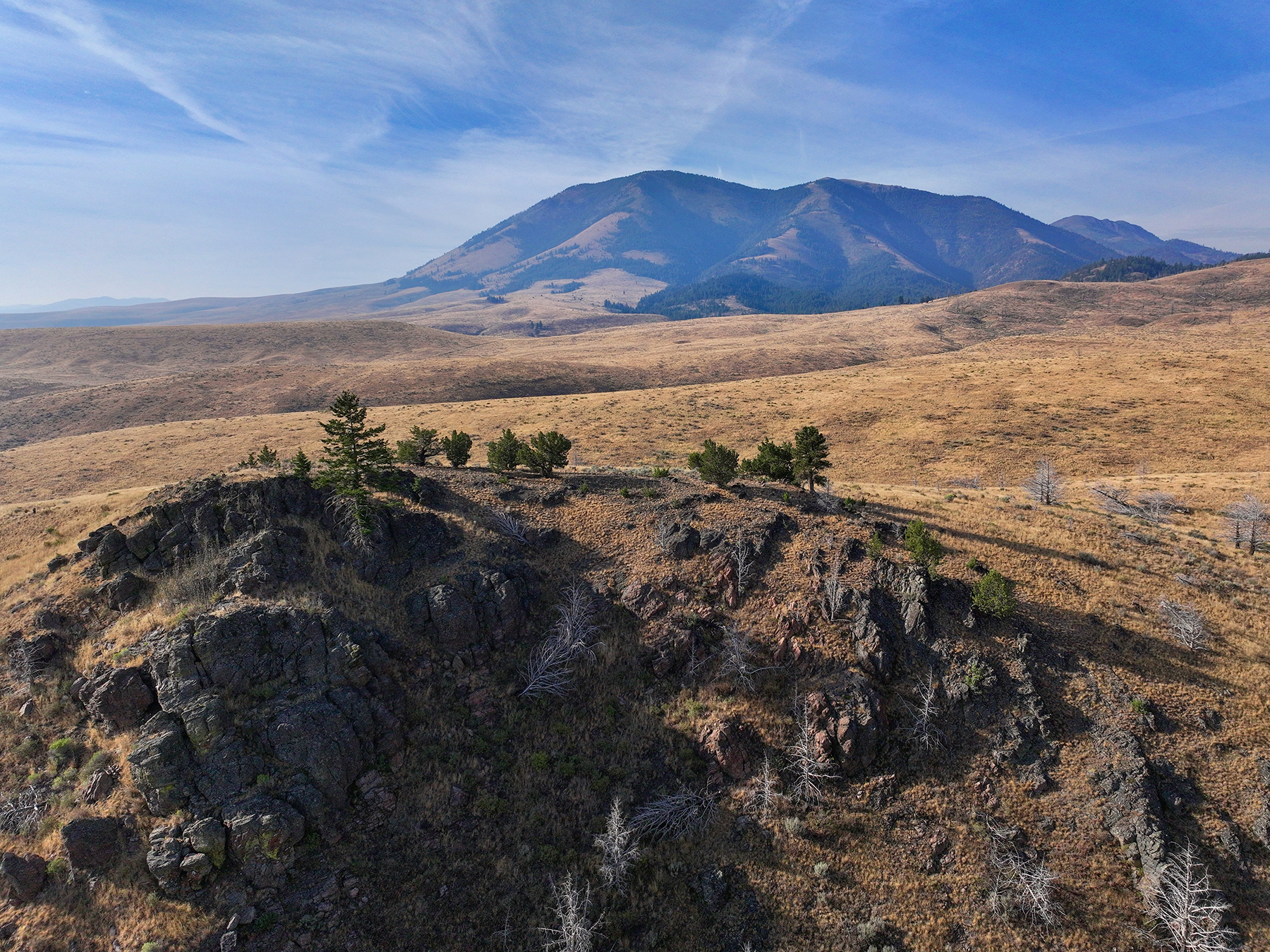
  • Diverse topography and terrain that includes timbered hillsides, open ridgelines, native rangelands, irrigated meadows, and seasonal drainages
  • Dependable irrigation and stock water sources distributed across the ranch
  • Practical set of residential and ranch improvements to support year-round living and livestock operations
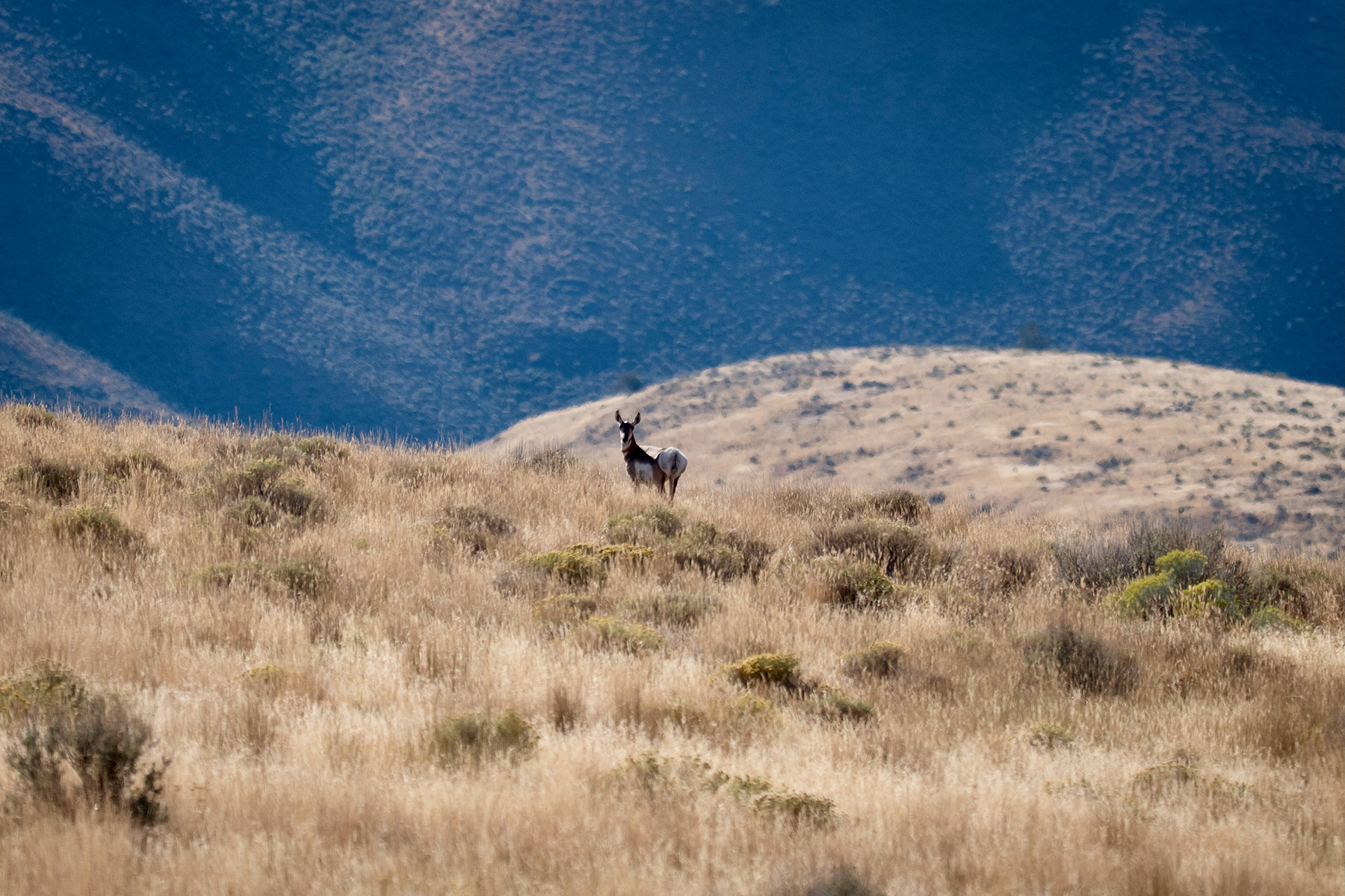
  • Home to Rocky Mountain elk, mule deer, pronghorn antelope, wild turkey, chukar partridge, and valley quail
  • Leased year-to-year to a well-established hunting outfitter
  • Excellent access from U.S. Highway 26
  • No conservation easement

General Description

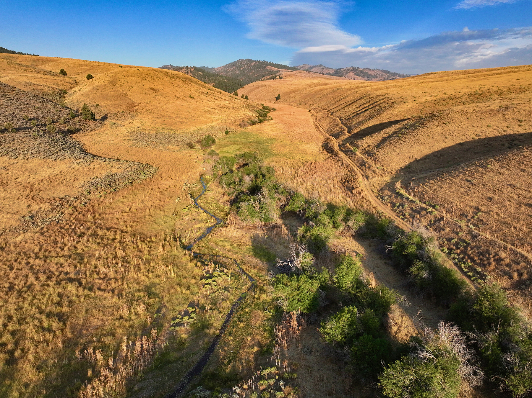
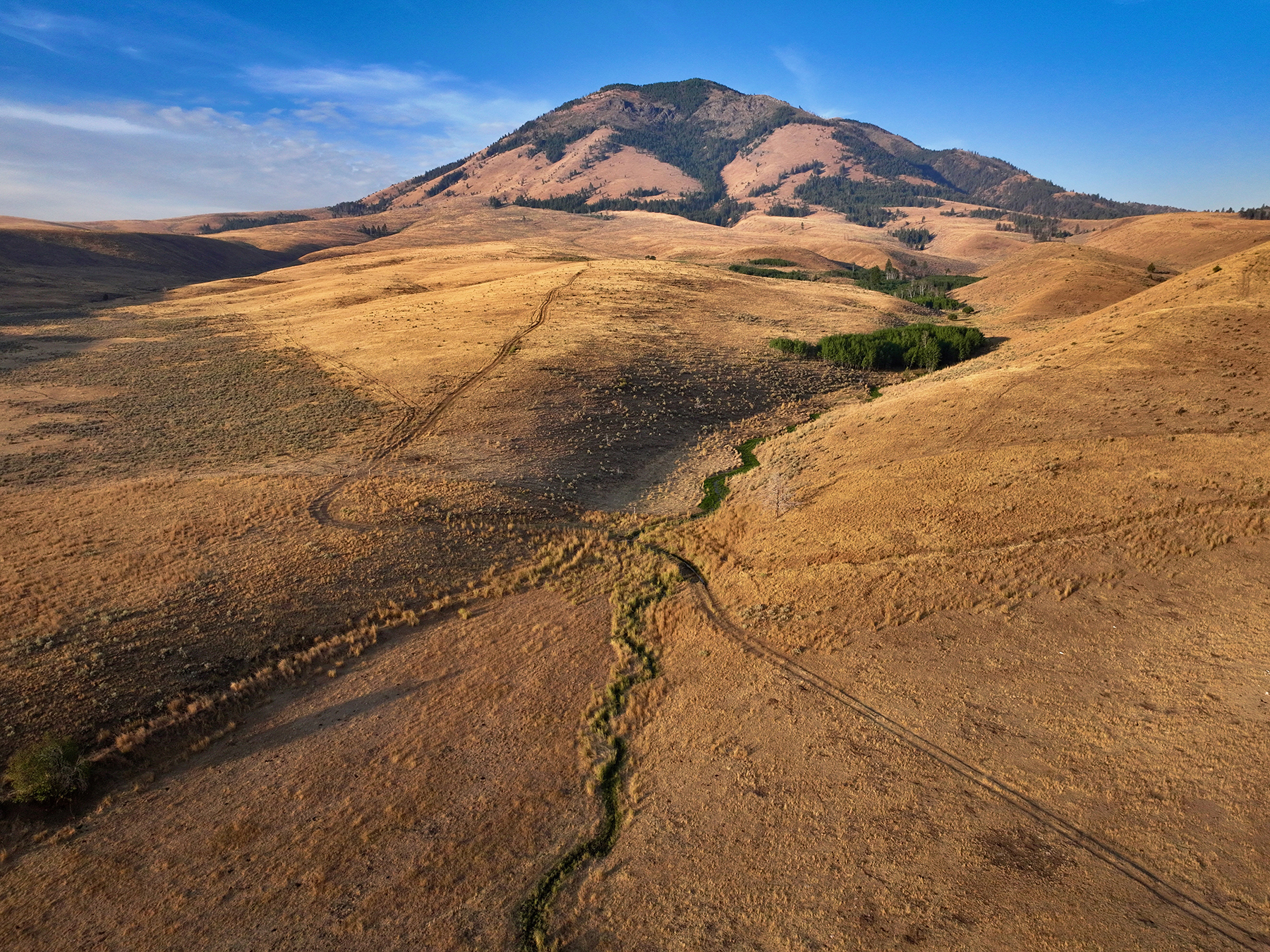
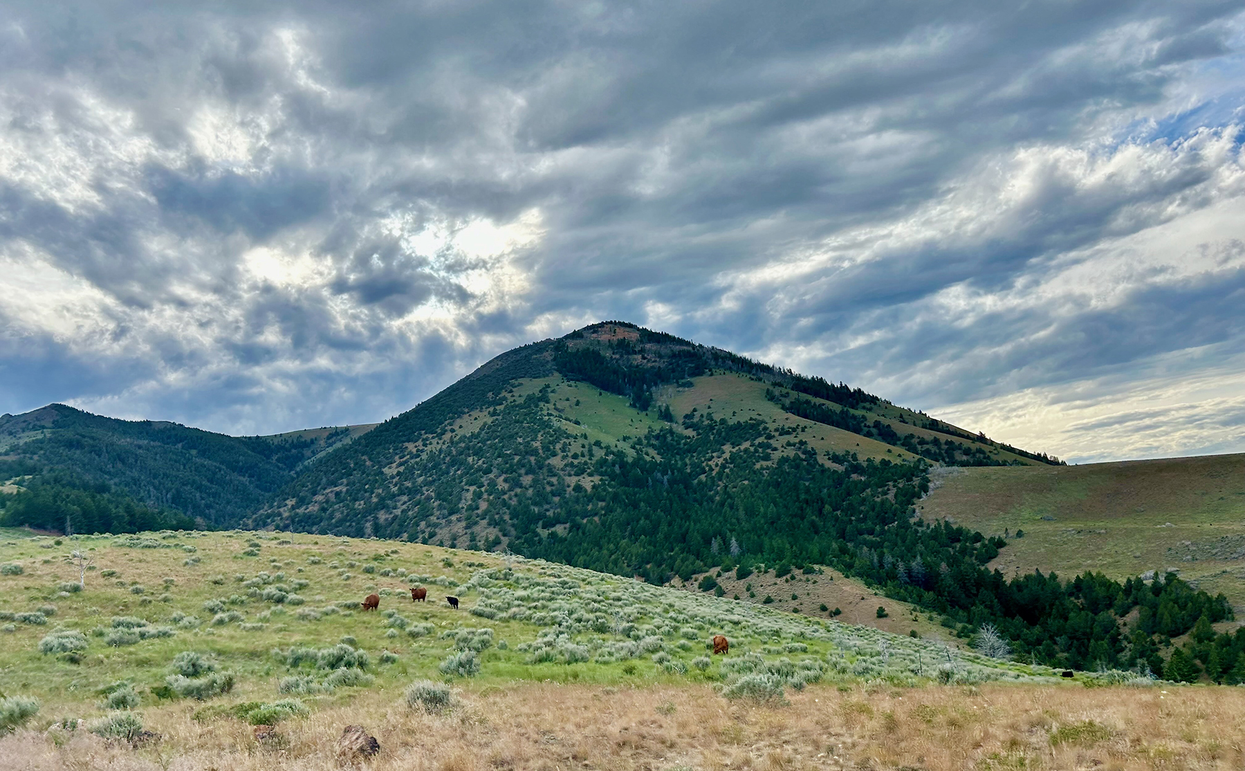
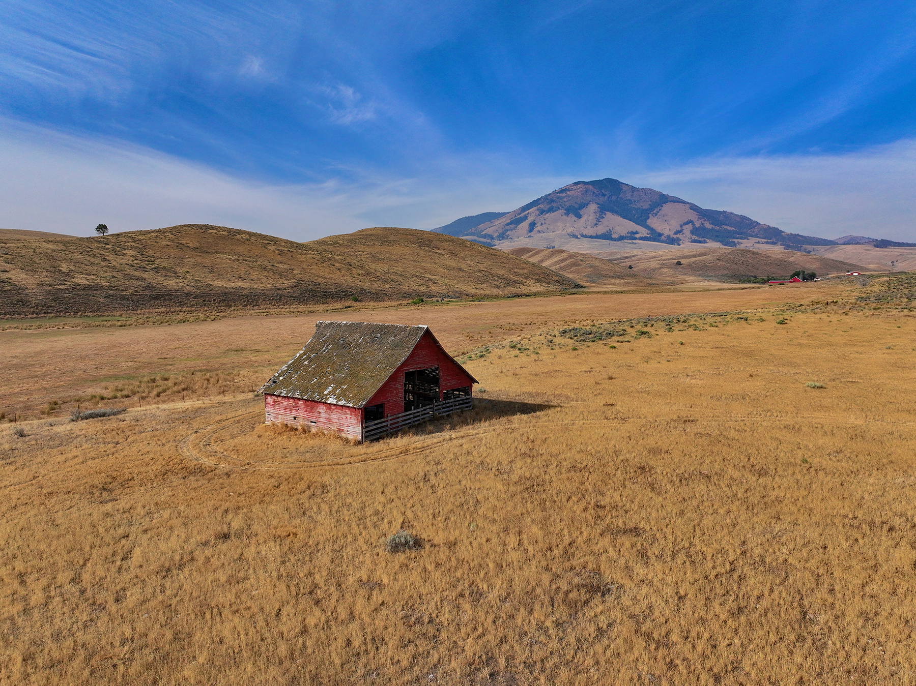
Ironside Mountain Ranch stretches across a large, contiguous landscape, extending approximately eight miles from north to south and six miles from east to west. The ranch combines a single block of deeded land with adjoining USFS and BLM grazing allotments, creating an integrated grazing operation. Ironside Mountain, the ranch's namesake, rises to 7,400 feet and dominates the western skyline, its long, open ridgelines extending eastward through the property. Elevations across the ranch range from approximately 4,000 feet at the ranch headquarters to 5,600 feet on the eastern flank of Ironside Mountain. The ranch’s varied terrain encompasses irrigated meadows along Willow Creek and Beam Creek, native rangeland, forested hillsides, and numerous seasonal drainages. The headquarters for the operation lies within the northern half of the property and features a practical set of residential and ranch improvements, including two homes, a machine shed, a wooden livestock barn, multipurpose sheds, and cattle shipping facilities with certified livestock scales. U.S. Highway 26 runs along portions of the ranch's northern boundary and provides convenient, year-round access to the ranch and to the surrounding communities of eastern Oregon. 
Broker's Comments

Ironside Mountain Ranch represents an opportunity to acquire a large, well-blocked grazing and hunting property combining deeded rangeland, irrigated meadows, timbered pasture, contiguous federal grazing allotments, and a practical set of residential and ranch improvements. The ranch’s out-the-gate access to both USFS and BLM permits, its established internal road system, and its proximity to U.S. Highway 26 position it to function as a grazing unit within a larger cattle operation. The ranch’s varied terrain, abundant wildlife, and established outfitting history add recreational value to an agricultural property with working infrastructure already in place. For a buyer seeking a substantial grazing unit with direct federal permit access, dependable water resources, and recreational upside, Ironside Mountain Ranch merits serious consideration

Locale

Location

Ironside is a small, unincorporated ranching community in northern Malheur County near the transition between Oregon’s Blue Mountains and the high-desert country extending south toward the Malheur River Basin.

The surrounding region has long been associated with livestock production, timber, mining, and the movement of people and goods between the agricultural communities of eastern Oregon. The area’s Indigenous history predates Euro-American settlement by generations, with native peoples occupying and traveling throughout the Malheur and Snake River regions.

Non-Indigenous settlement accelerated during the latter half of the 19th century as gold discoveries brought miners into eastern Oregon. Mining districts developed around Malheur City, Mormon Basin, and other nearby areas beginning in the 1860s. Stage routes, wagon roads, supply points, ranches, and small settlements emerged to support these isolated mining camps.

As mining activity declined, livestock production became one of the region’s enduring economic foundations. Large expanses of native rangeland, mountain summer pasture, scattered timber, irrigated creek bottoms, and surrounding public lands shaped a ranching tradition that remains central to the region today.

Ironside continues to reflect this heritage. The area is sparsely populated, agriculturally oriented, and surrounded by working landscapes where private ranches and federal grazing lands have historically operated together. The area retains much of its historic character, defined by extensive ranches, mountain ranges, high-desert valleys, public lands, and small communities tied closely to agriculture and natural resources.

Climate

Ironside Mountain Ranch lies in the high desert foothills on the eastern flank of the Blue Mountains and experiences the semi-arid, continental climate typical of eastern Oregon's interior. Summers are warm and dry, with daytime highs in the mid-80s and low humidity, while winters are cold with periodic snowfall and daytime highs near freezing. Annual precipitation totals approximately 11 inches, arriving mainly as snow in the winter months. Snowpack accumulation at higher elevations feeds the ranch's spring runoff and stock water sources into the growing season. 

Property Details

Acreage (Deeded & Leased)

Ironside Mountain Ranch consists of approximately 14,935± contiguous, deeded acres. This amount breaks down as follows:

  • 275± acres of irrigated meadows
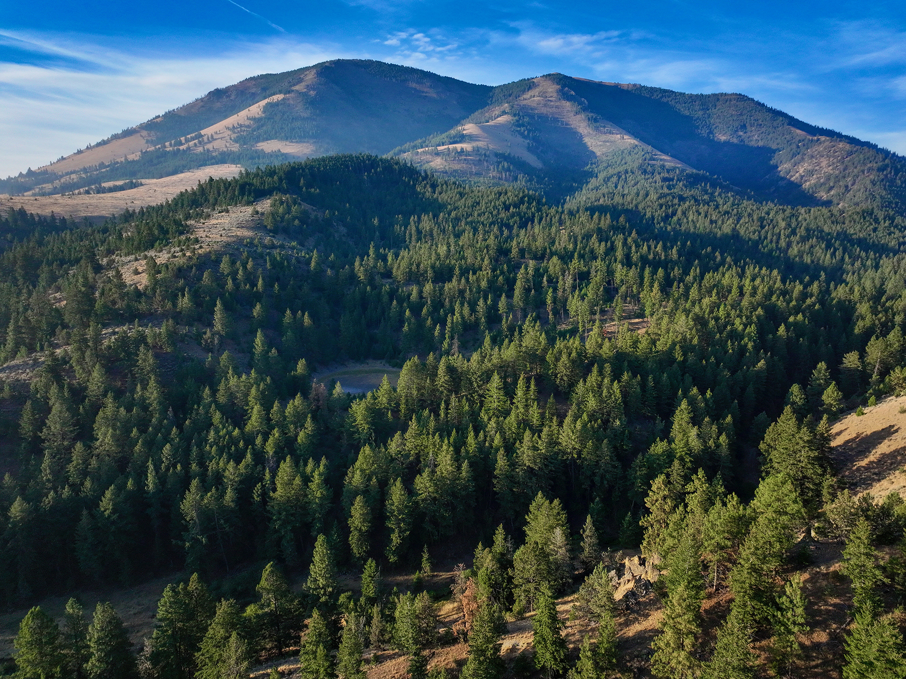
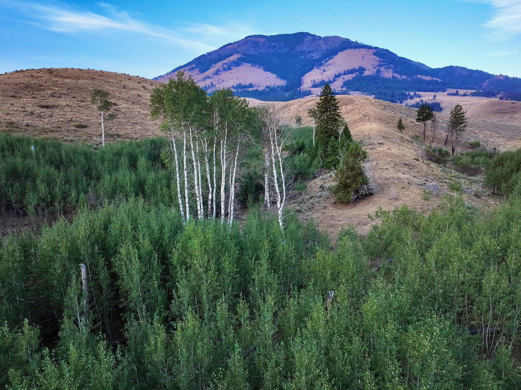
  • 2,160± acres of timbered grazing lands
  • 12,497± acres of rangeland grazing
  • 3± acres comprising the ranch headquarters 

Deeded Acres: 14,935±
BLM Leased Acres: 3,500±
Total Leased Acres: 3,500±
Total Acres: 35,435±
Lowest Elevation: 4,200
Highest Elevation: 6,800

Improvements

The ranch headquarters is situated on approximately three acres near the ranch’s main entrance and features two homes that total 4,100± square feet and a practical collection of agricultural structures and infrastructure. 

Residential improvements include the following: 

  • Primary residence with three bedrooms and one bath consisting of 1,848± square feet with 1,428± square feet on the main level and 420± square feet on the upper level
  • Second residence with two bedrooms and one bath constructed in 1948, consisting of 2,252± square feet, with 1,952± square feet on the main level and 300± square feet on the upper level.
  • Detached garage

Together, the two homes offer 4,100± square feet of living space, providing housing options for the owner, ranch employees, guests, or lessees.

Ranch improvements include the following:

  • Machine shed
  • Wooden livestock barn
  • Multipurpose sheds and utility structures
  • Certified livestock scales
  • Additional site and miscellaneous improvements

Water Resources

Approximately 275 acres of irrigated meadows along Middle Willow Creek and Beam Creek provide productive forage near the lower portions of the ranch. Irrigation rights have historically been supplied by surface water in addition to two irrigation wells located along Beam Creek. The upper irrigation well is currently in use and was rated at approximately 350 gallons per minute when installed in 1953. The lower irrigation well was reportedly rated at approximately 500 gallons per minute when installed in 1954, but currently requires repair before being returned to service. 

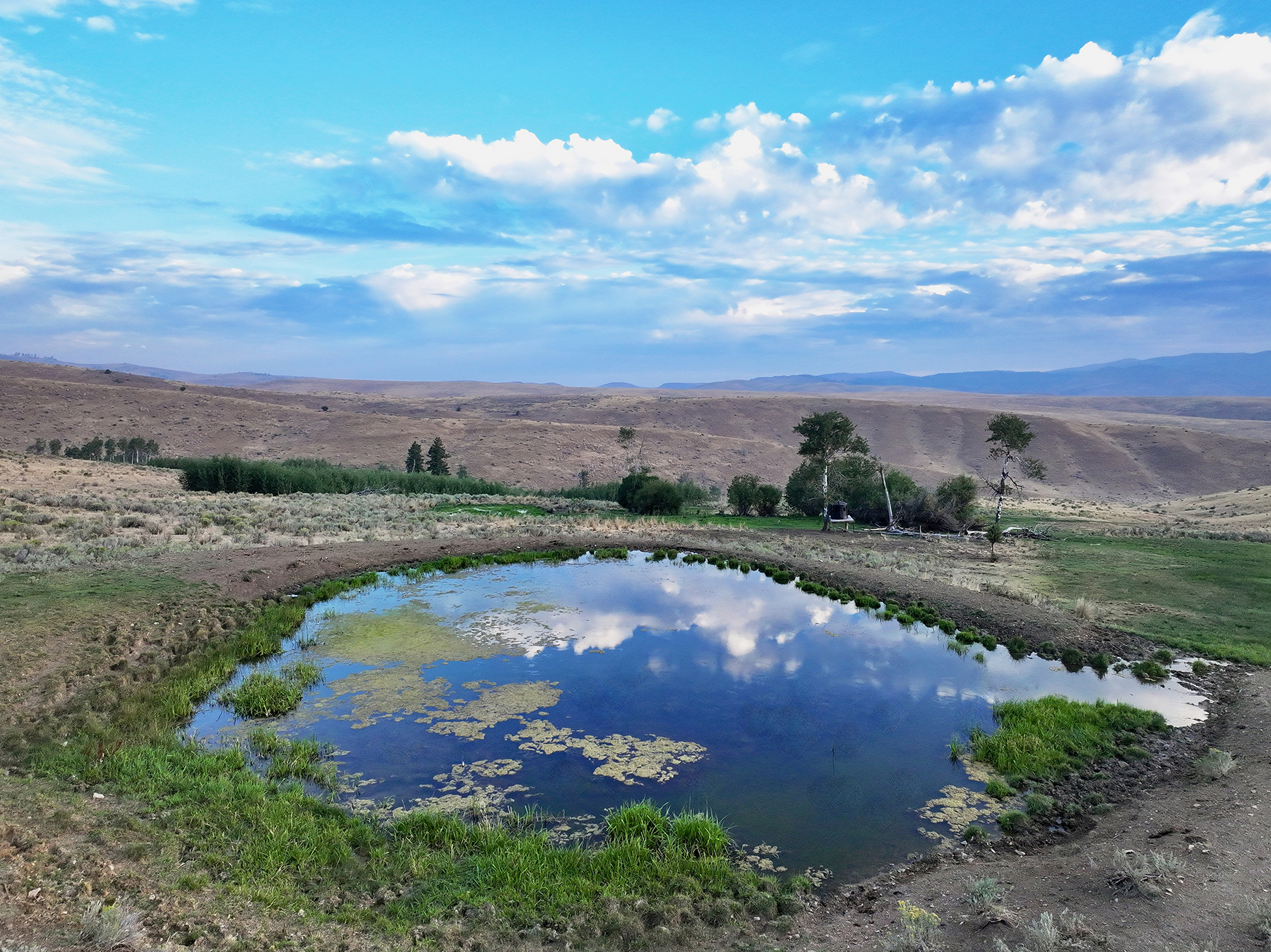
The irrigated meadows complement the ranch’s extensive native range by providing additional forage and operational flexibility. Repairing the lower well may offer an opportunity to restore additional irrigation capacity, subject to professional inspection, necessary repairs, confirmation of the associated water rights, and applicable regulatory requirements. In addition to irrigation water, multiple livestock water sources are distributed across the ranch. According to the owner, these sources continued to hold water through the recent exceptionally dry summer.

Mineral Rights

All mineral and subsurface rights owned by the seller will transfer to the new owner at closing, subject to any prior reservations. Prospective purchasers should independently verify the extent of mineral ownership, along with any existing mineral leases, mineral reservations, and third-party interests. 

Taxes

Annual real estate taxes for Ironside Mountain Ranch are estimated to be $10,715 based on Baker County and Malheur County tax records.

Recreational Amenities

Wildlife Resources

Ironside Mountain Ranch supports a broad range of wildlife characteristic of the Blue Mountains and the high-desert landscapes of eastern Oregon. The combination of timbered ridges, open rangelands, irrigated meadows, water sources, and secluded drainages creates a diverse habitat for a variety of species, including Rocky Mountain elk, mule deer, pronghorn antelope, wild turkey, chukar partridge, valley quail, and a host of other wildlife. 

The ranch has been leased on a year-to-year basis to a professional hunting outfitter. According to the owner, the outfitter and his clients have experienced excellent results. This established outfitting history provides evidence of the property’s exceptional recreational value while providing management flexibility and revenue opportunities for a future owner. Any outfitting arrangements, hunting leases, landowner preference tags, hunt-unit information, seasons, and tag availability should be independently verified with the outfitter and the Oregon Department of Fish and Wildlife.

General Operations

General Operations

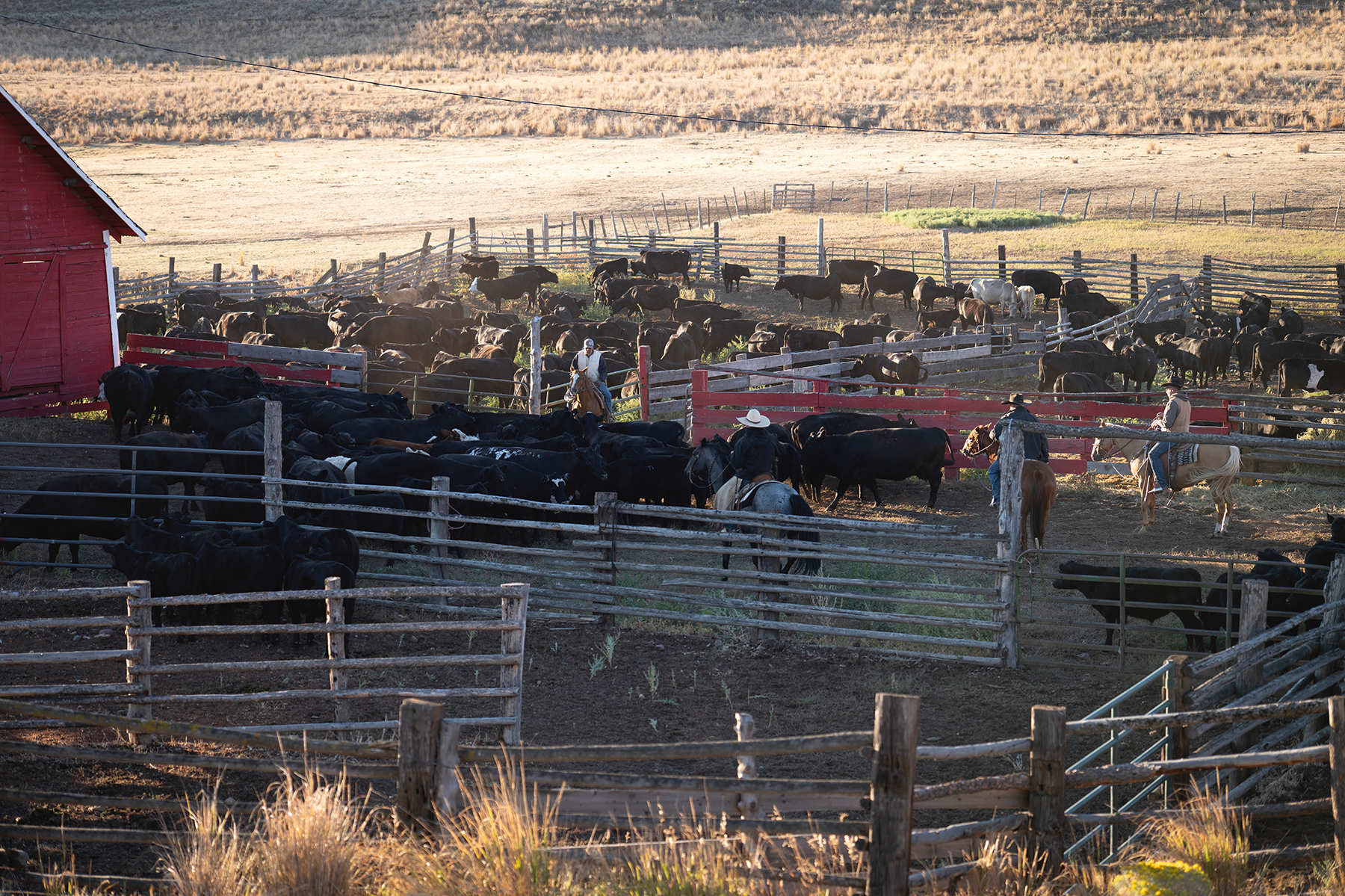
The deeded portion of Ironside Mountain Ranch is fenced into multiple pastures, facilitating livestock management and grazing rotations across the property. Water sources are distributed across the ranch and provide reliable stock water through the grazing season.  

An established internal road system benefits daily livestock management, pasture rotations, water-system maintenance, fencing, hunting, wildfire response, and general ranch oversight.
The deeded ranch is typically grazed from approximately May 1 until the end of November or early December, with the length of the season dependent on precipitation, forage conditions, and the arrival of winter weather. When operated in conjunction with the associated USFS and BLM grazing privileges, the ranch has been utilized for approximately 800 to 900 head annually.
Certified livestock scales located at the ranch headquarters allow cattle to be weighed on-site and facilitate direct shipping from the property. The scales are reported to measure approximately 8 feet by 16 feet and have a 10-ton capacity.

The ranch’s convenient access to U.S. Highway 26 enables efficient movement of cattle and equipment between the property and agricultural regions throughout Oregon, Idaho, Nevada, Washington, and the broader western United States.

Leases and Permits

Ironside Mountain Ranch benefits from two adjoining federal grazing allotments, both of which are accessible directly from the deeded property. This “out-the-gate” configuration allows cattle to move between the private ranch and federal grazing lands without trucking and enables the deeded and permitted lands to function as an integrated seasonal grazing operation.  

USFS Ironside Allotment

The associated U.S. Forest Service grazing authorization is identified as follows:

  • Permit: 217008W
  • Approximate Area: 17,000 acres
  • Permitted Livestock: 639 head
  • Season of Use: June 15th through September 20th

BLM Ironside Mountain East Allotment

The associated BLM grazing authorization is identified as follows:

  • Permit: 3601590
  • Approximate Area: 3,500 acres
  • Permitted Livestock: 140 head
  • Season of Use: April 1st through April 30th

Together, the USFS and BLM grazing areas encompass 20,500± acres in addition to the ranch’s 14,935± deeded acres. The ranch is the sole permittee for each allotment, and direct access to both areas simplifies cattle movement and reduces hauling requirements between the deeded and permitted lands.

Federal grazing privileges are administered by the applicable agencies and are subject to their respective terms, conditions, annual authorizations, and transfer or preference requirements. Acreages, livestock numbers, seasons of use, current permit status, and transfer procedures should be independently confirmed with the USFS and BLM.