The ranch is located approximately 30 miles southeast of the town of Big Sandy, Montana, and six miles east of Highway 236, known as the Judith Landing Road. Big Sandy is an attractive small town with a 2013 population of 605 and over 40 active businesses listed, as well as the Critical Access Hospital and both grade and high schools. Great Falls lies 80 miles to the southwest and Havre is 35 miles to the northeast on U.S. Highway 87. The nearest commercial air service is Great Falls, which is serviced by Delta, Alaska, and United Airlines with multiple daily flights. Big Sandy offers a paved and lighted 3,570 x 60-foot airstrip at an elevation of 2,689 feet. Havre has two cross-wind runways, with one measuring 5,205 x 100 foot paved, at 2,580 feet elevation, with instrument approaches, AV gas and jet fuel, hangar rentals, and rental cars.
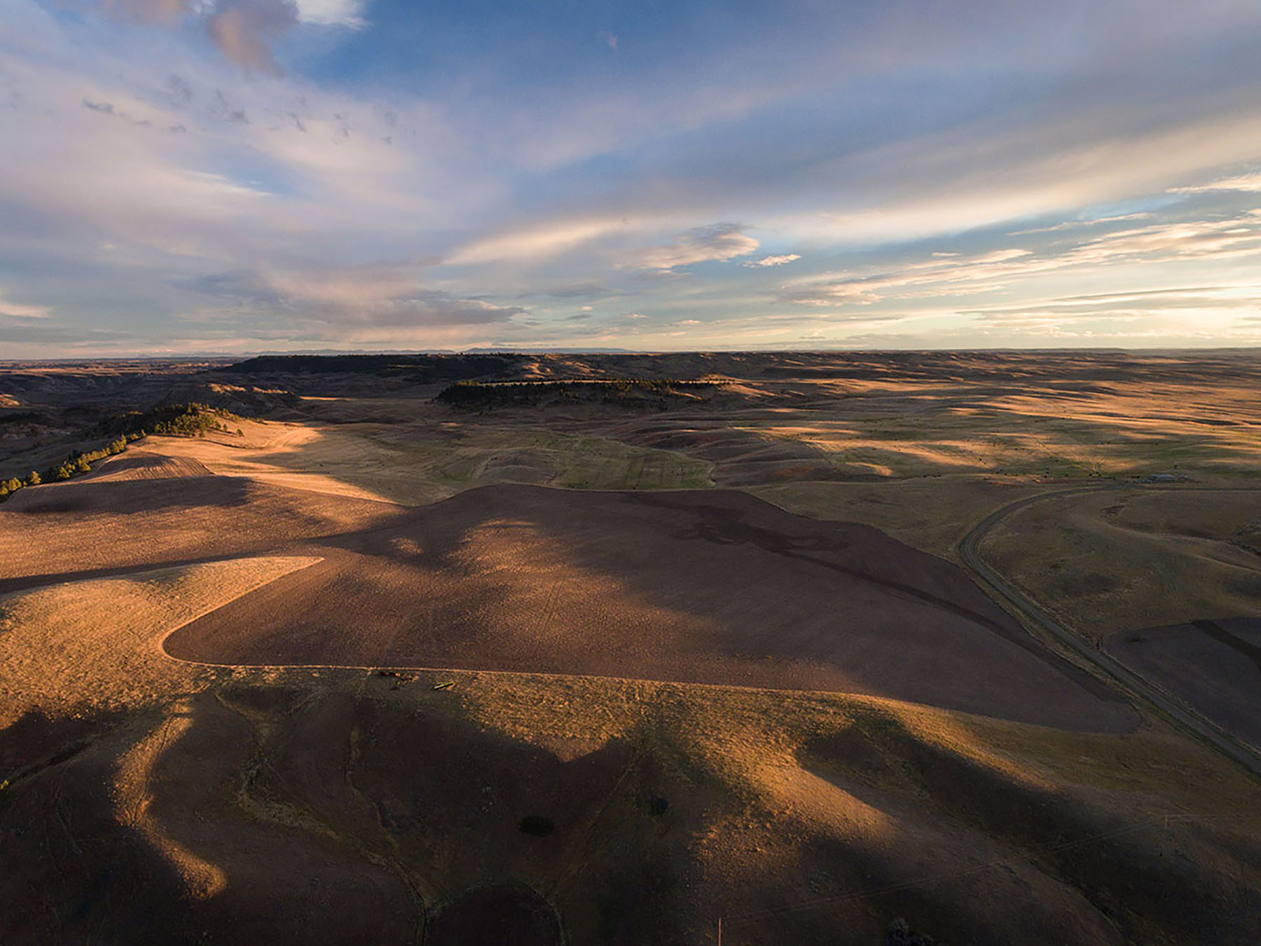
Birch Creek Ranch lies in one of Montana’s reputation ranch areas in the north-central portion of the state. Though the area is closely tied to traditional farming and ranching, it also offers dramatically beautiful scenery that rivals areas in the southwestern part of the state. The two most outstanding topographic features are the Bears Paw Mountains, which are approximately five miles north of the ranch, and the Missouri River, which lies approximately 15 miles south of the ranch.
The Bears Paw Mountains are an island mountain range that extend in a 45-mile arc from the Missouri River northward, to just south of Havre. The highest peak, Baldy Mountain, reaches 6,916 feet above sea level. A Native American legend about a hunter’s encounter with a great bear is the source of the range’s name. Looking at Box Elder Butte, one can see the paw, and Centennial Mountain to the south resembles a reclining bear. West of these buttes lies the Rocky Boy Indian Reservation of the Chippewa Cree Tribe. East of that lies the Bear Paw Battlefield - Nez Perce National Historical Park, where the defeated Nez Perce Chief Joseph gave his immortal speech, “From where the sun now stands, I will fight no more forever.”
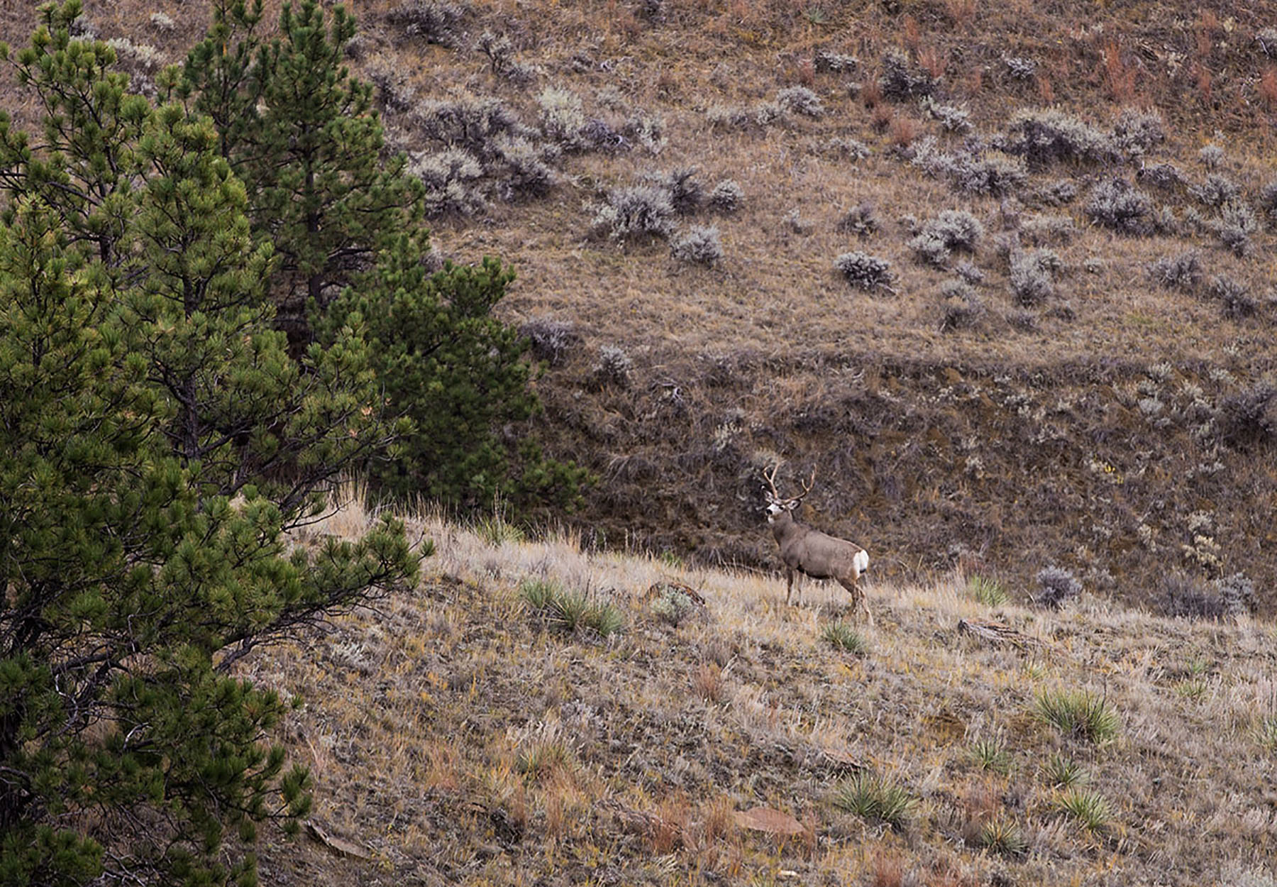
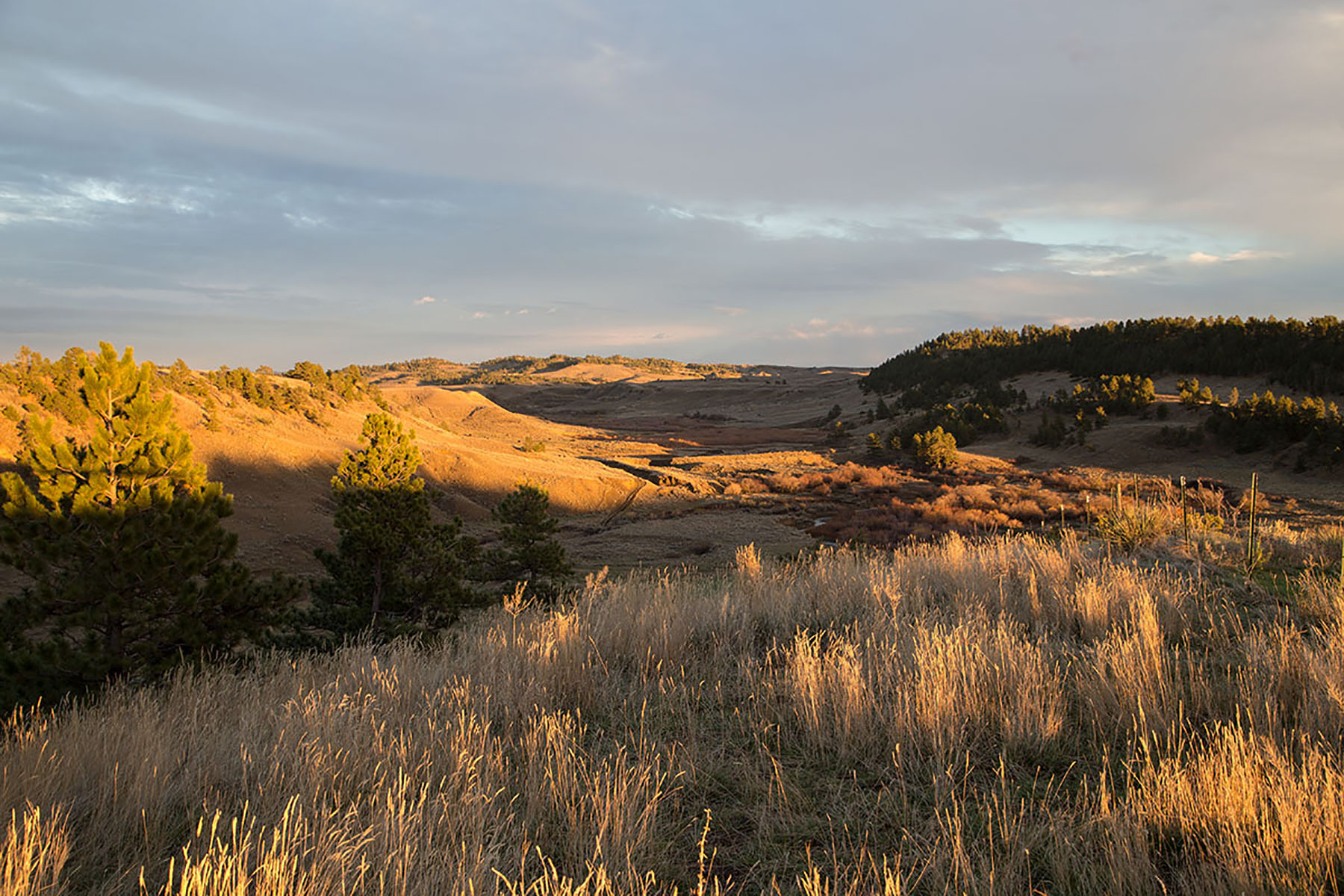
The “Bearpaws” as they are frequently called, receive added precipitation due to their higher elevation, which creates a beautiful, lush environment rich with game and dramatic vistas.
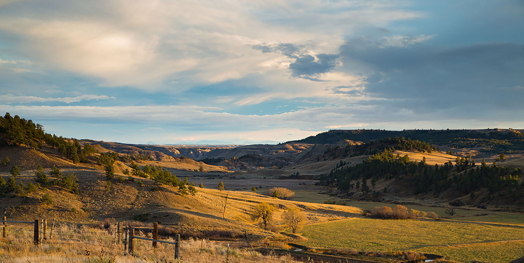
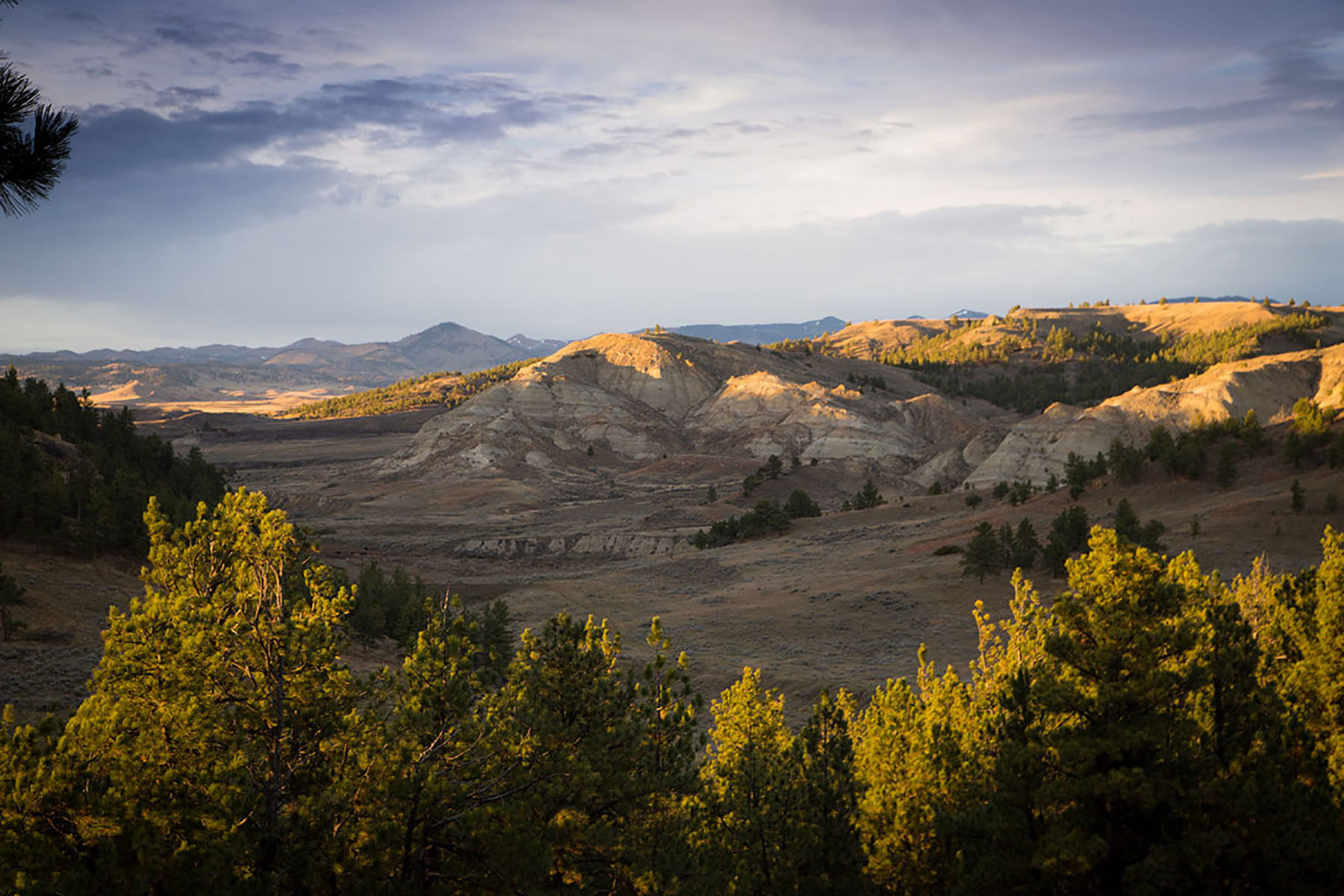
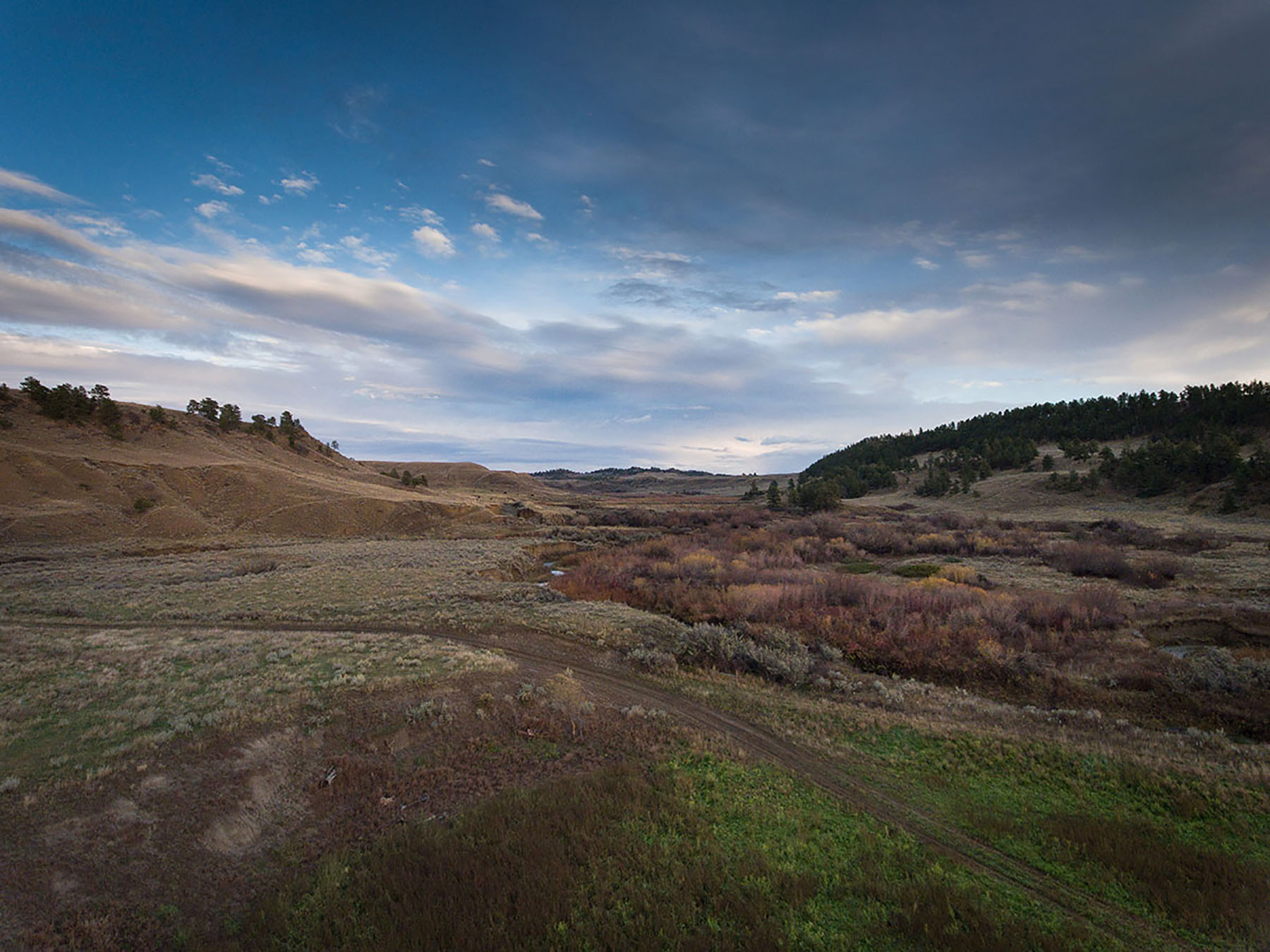
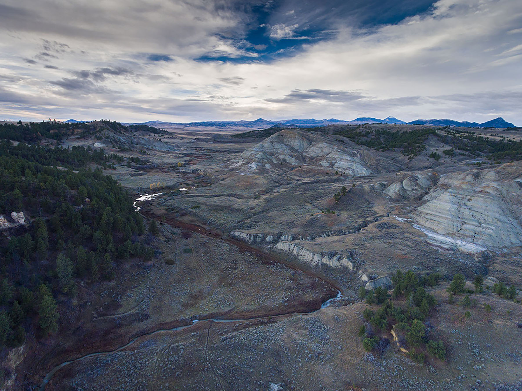
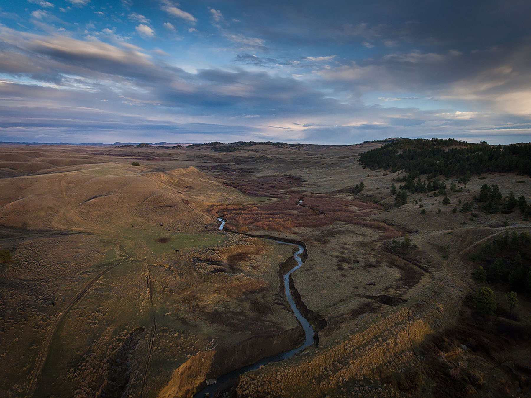
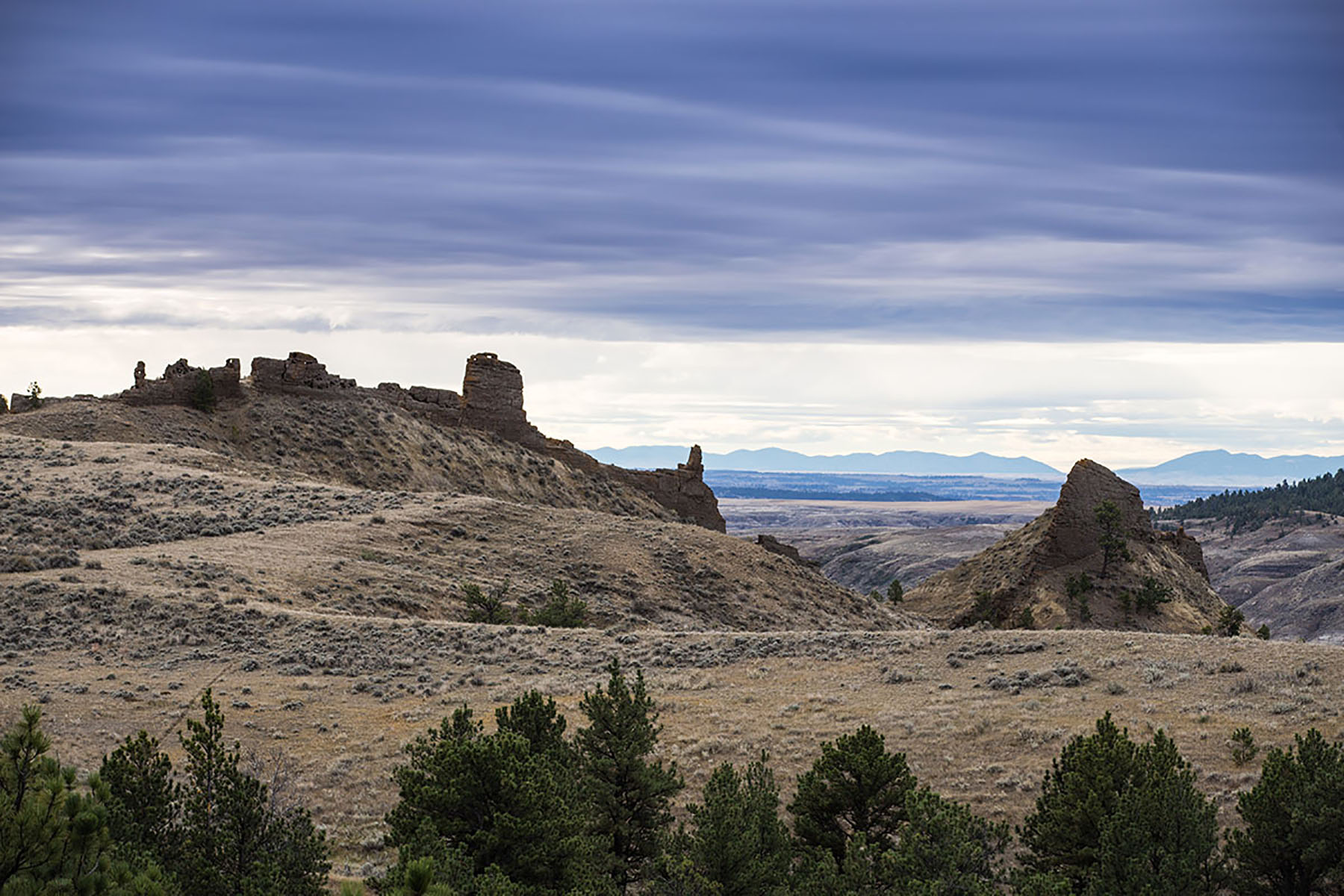
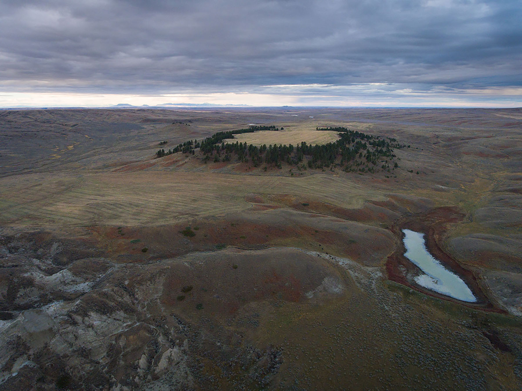
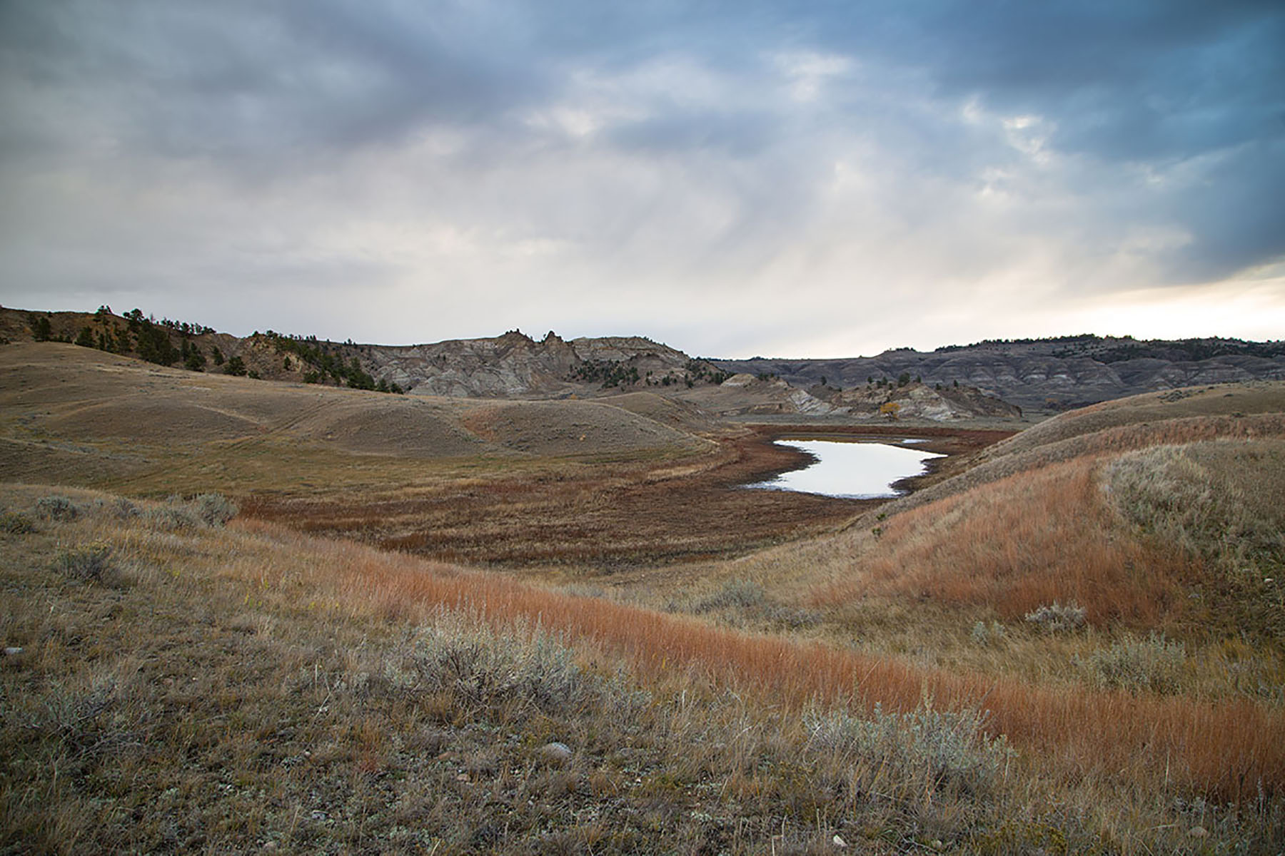
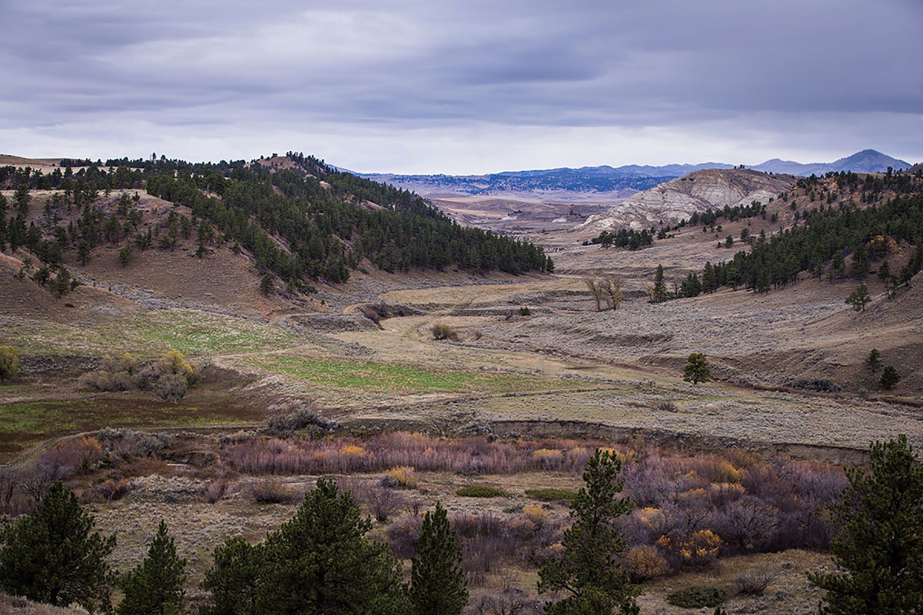
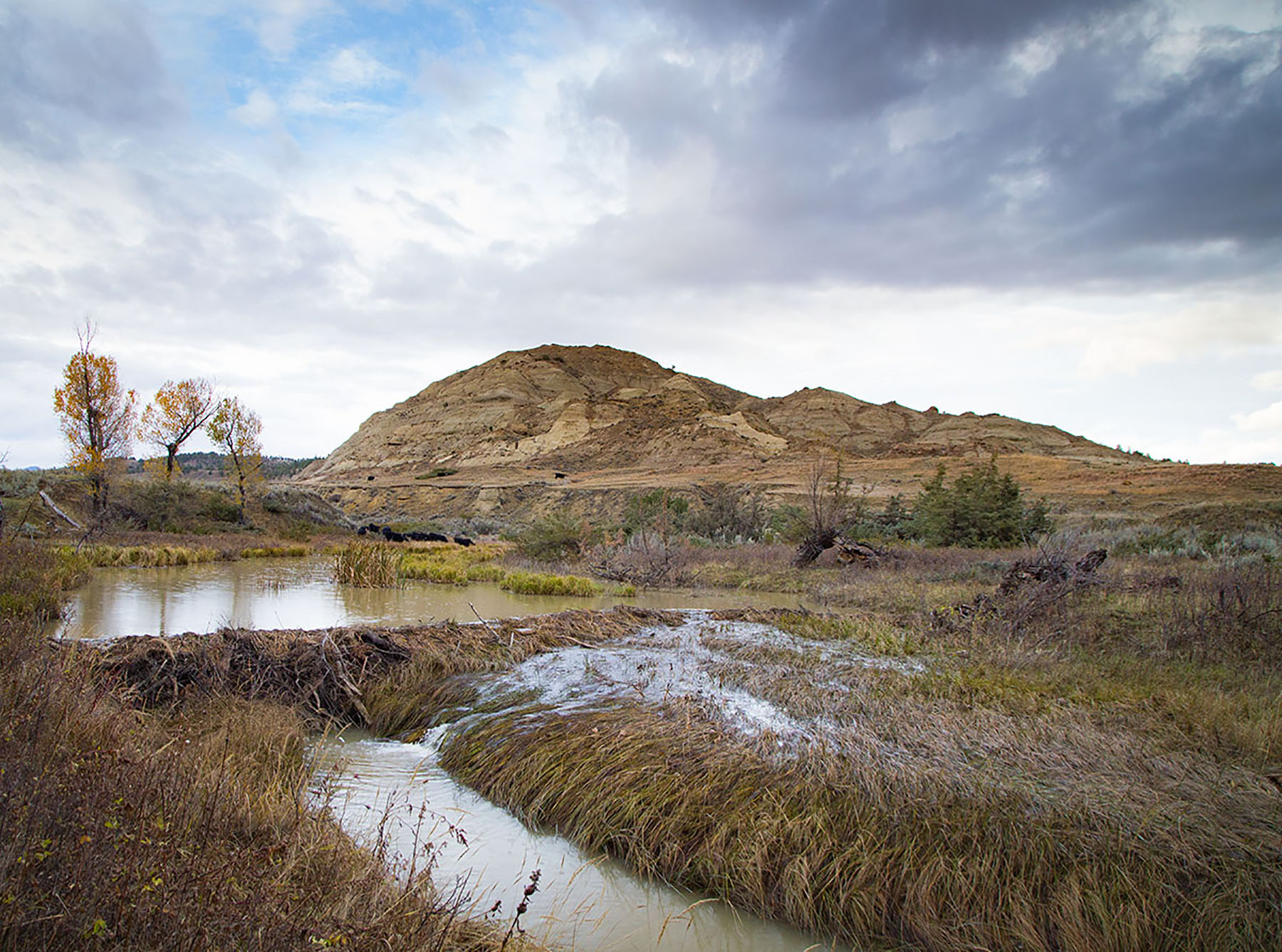
South of the ranch the Missouri River flows through the region known as the Missouri River Breaks. The “Breaks” have been sculpted by eons of wind and water crumbling sedimentary soils, creating stunningly beautiful cliffs and rock formations with intermittently steep and rugged topography. The Missouri River Breaks offer some of the most ruggedly beautiful scenery to be found in the state and are now protected as the Upper Missouri River Breaks National Monument (UMRBNM).
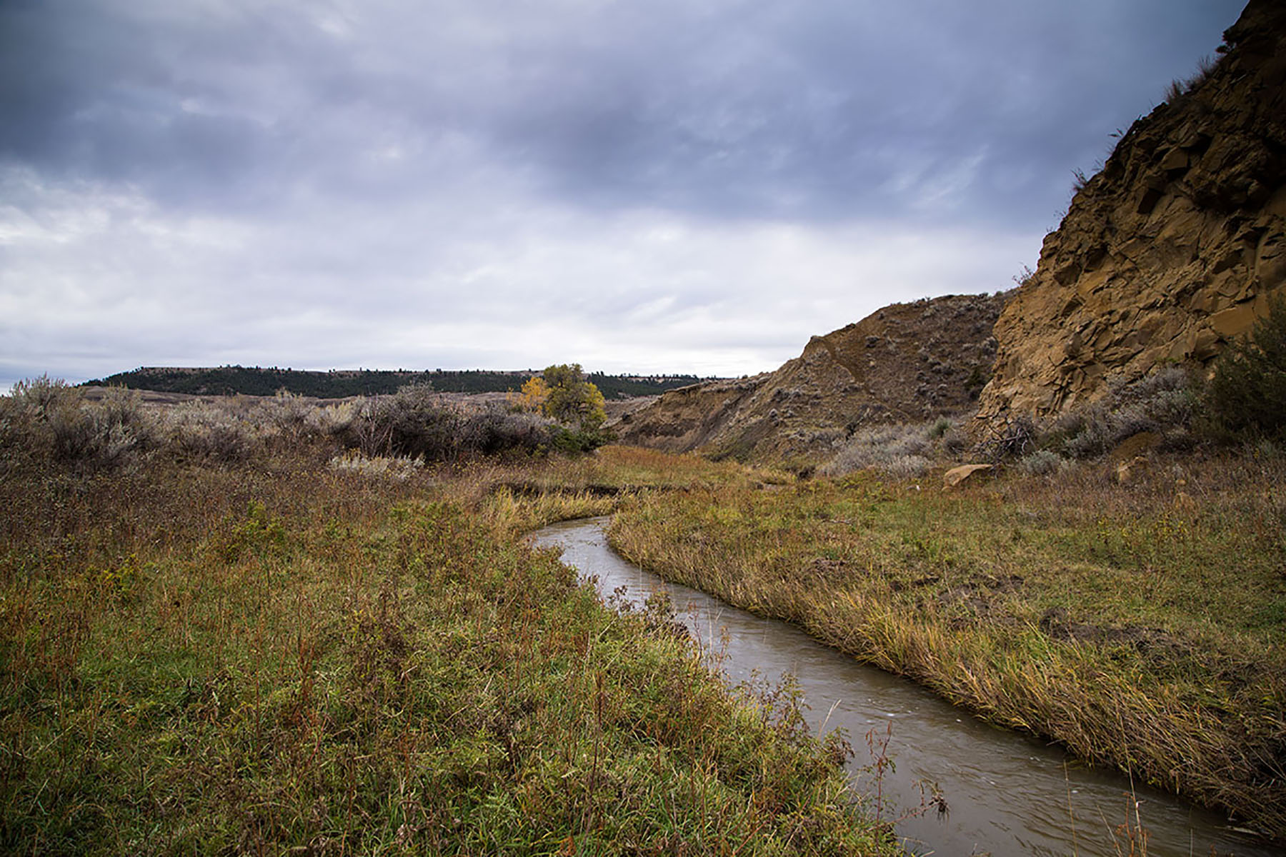
The Missouri River and the site of Judith Landing are historically significant because of Lewis and Clark and the Corps of Discovery, which traveled upriver from St. Louis beginning in 1802. Judith Landing is located near the confluence of the Judith River with the Missouri at the mouth of Dog Creek. Lewis and Clark camped there, noting the clear waters of the Judith and the unique White Cliffs area just upstream. The site later became a fort and the Judith Landing Mercantile trading post was established where settlers came to trade furs and gold. This White Cliffs area, south of the ranch, is now a 46-mile stretch of the designated Upper Missouri National Wild and Scenic River portion of the UMRBNM.
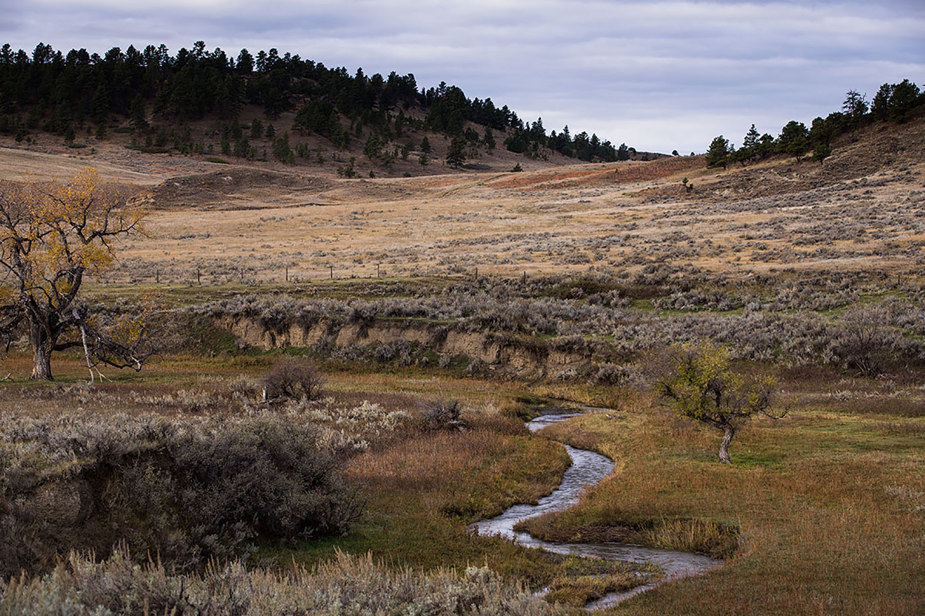
The region within and around the Missouri River Breaks is well noted for its great paleontological discoveries. In recent decades, intact T-Rex remains have been discovered along with a multitude of land and inland sea creatures. Areas of Birch Creek Ranch are rich in fossils embedded in the sandstone bluffs.
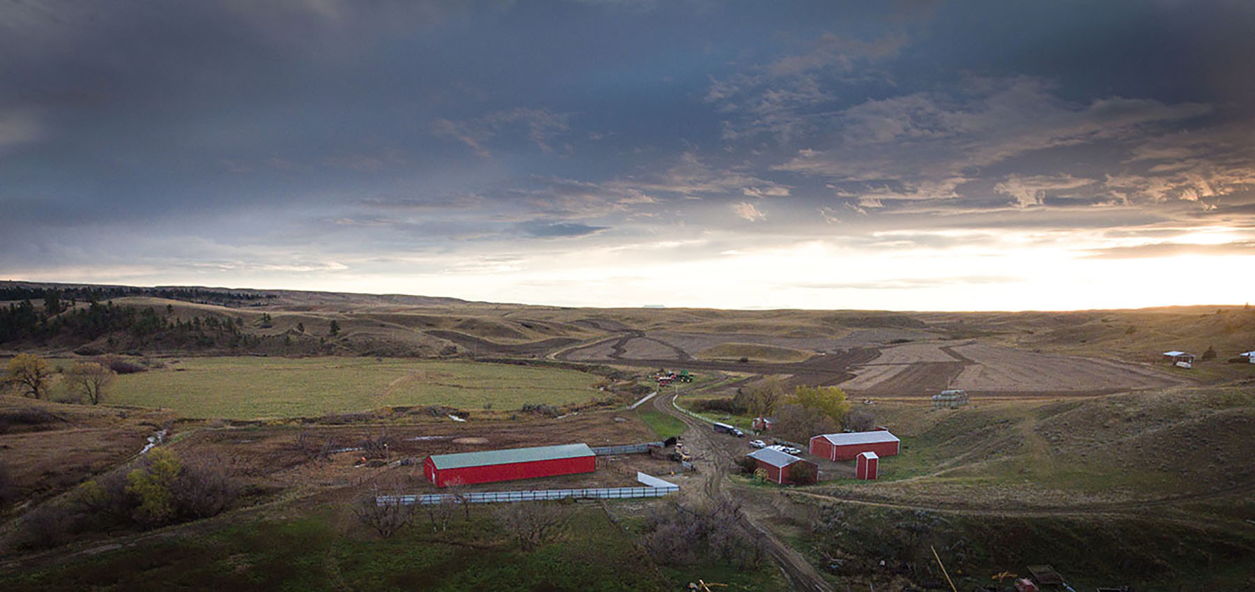
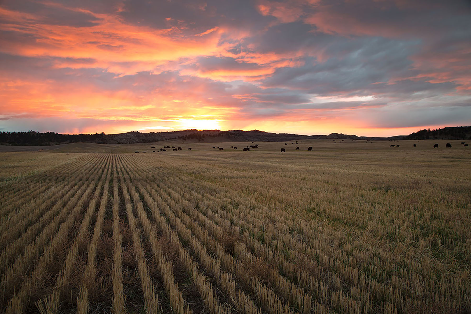
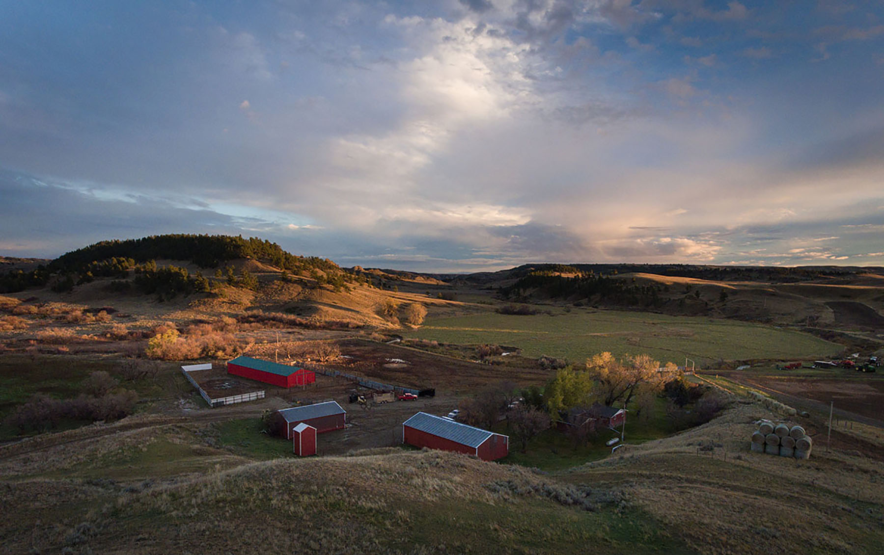
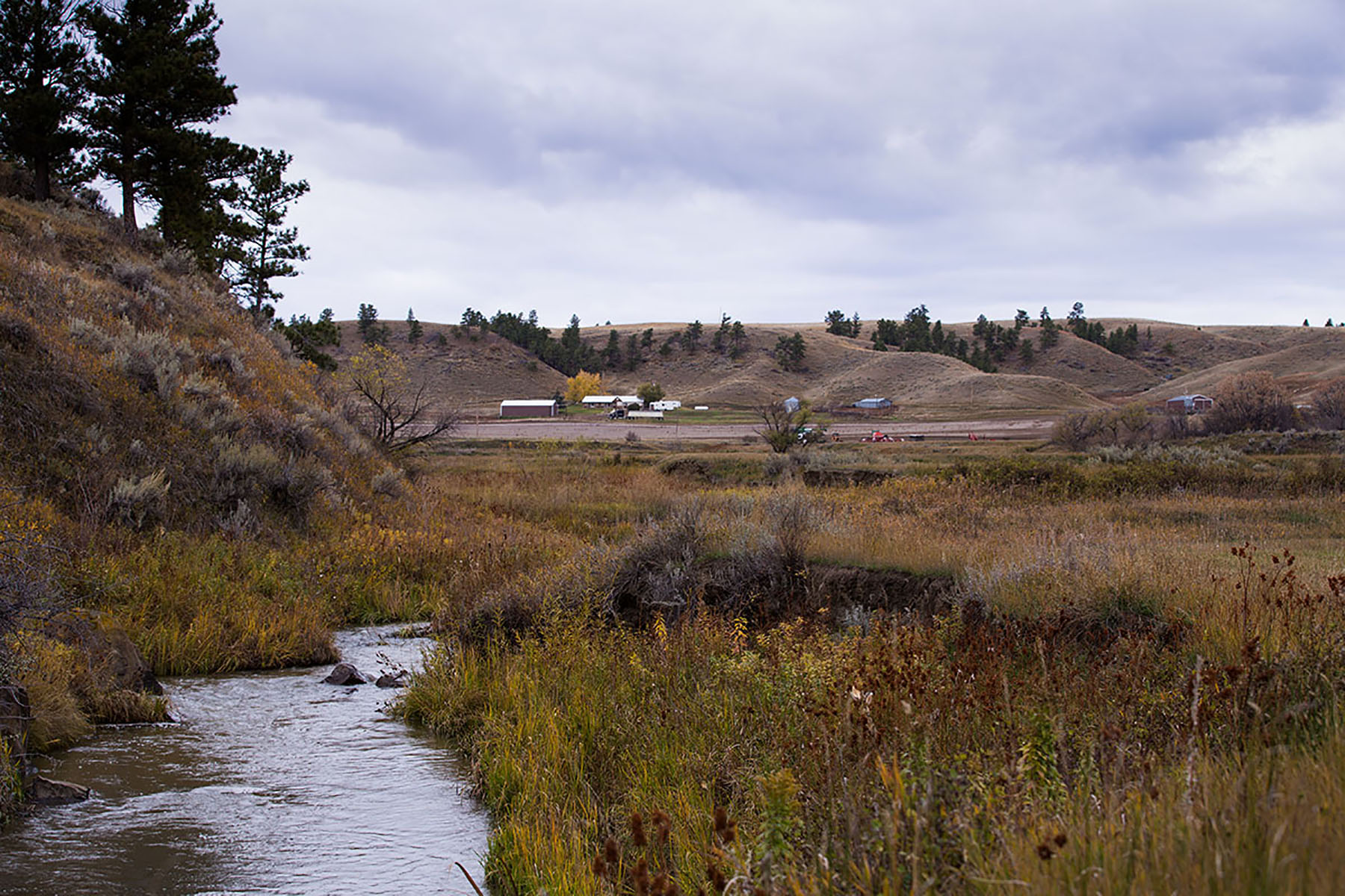
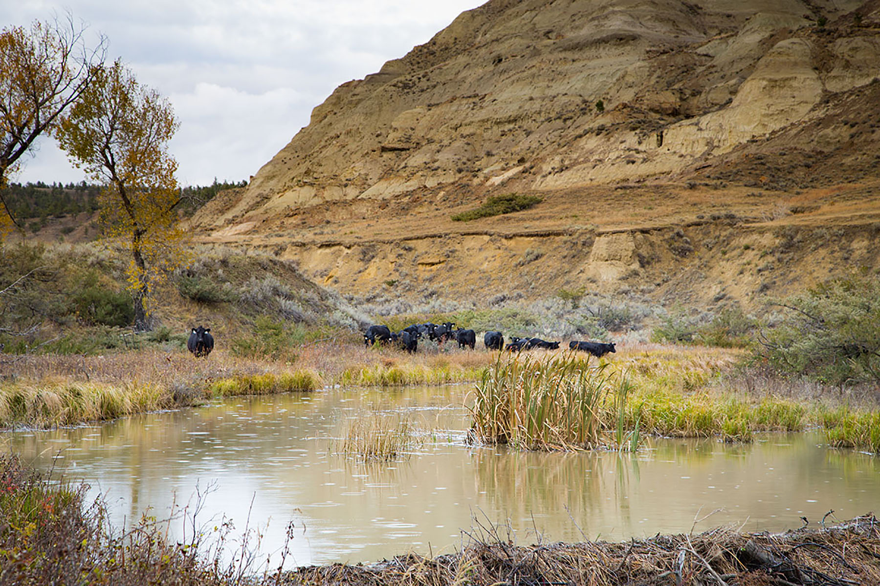
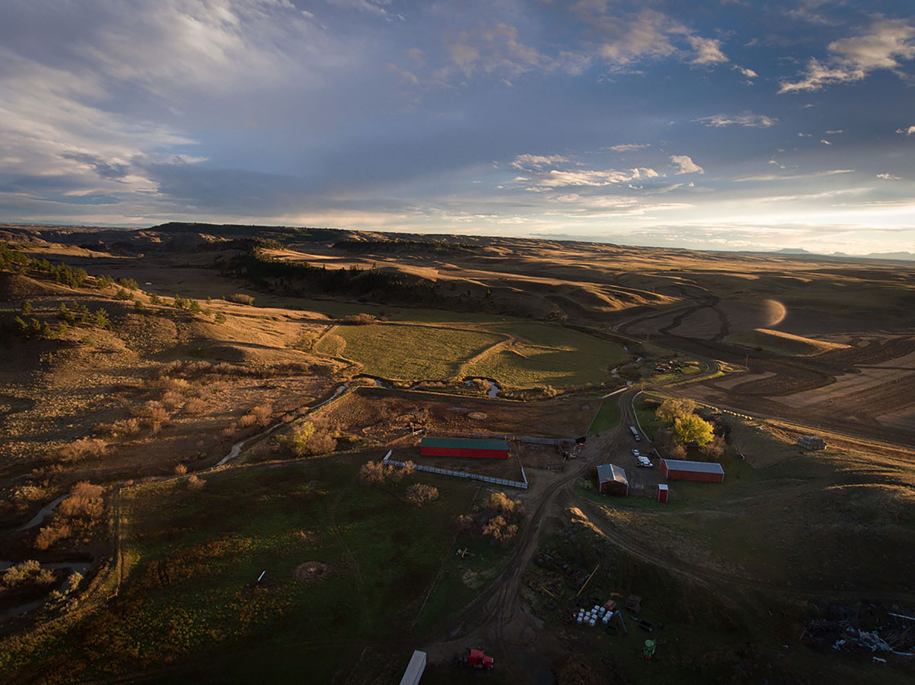
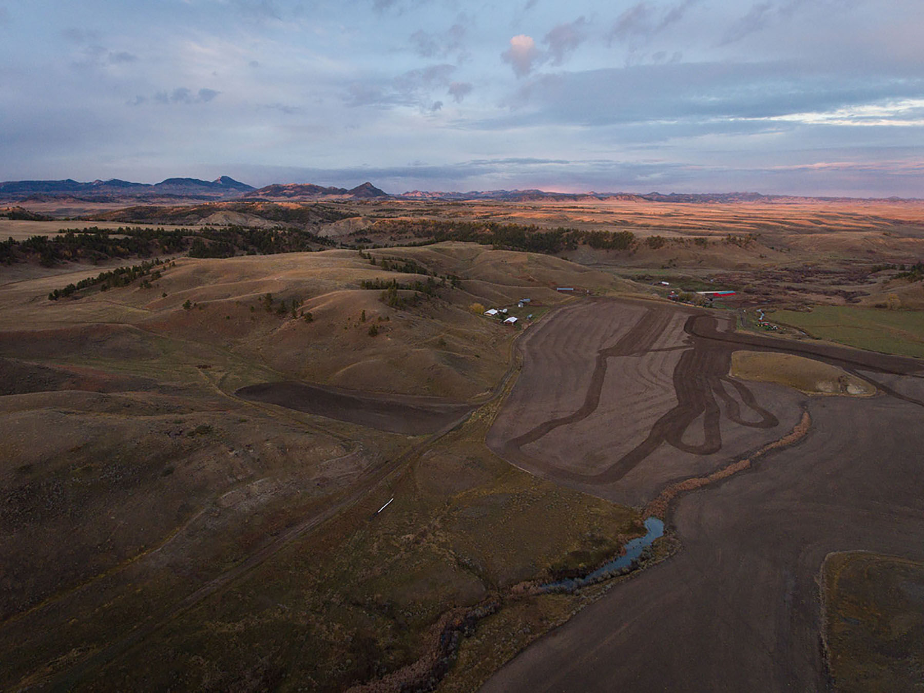
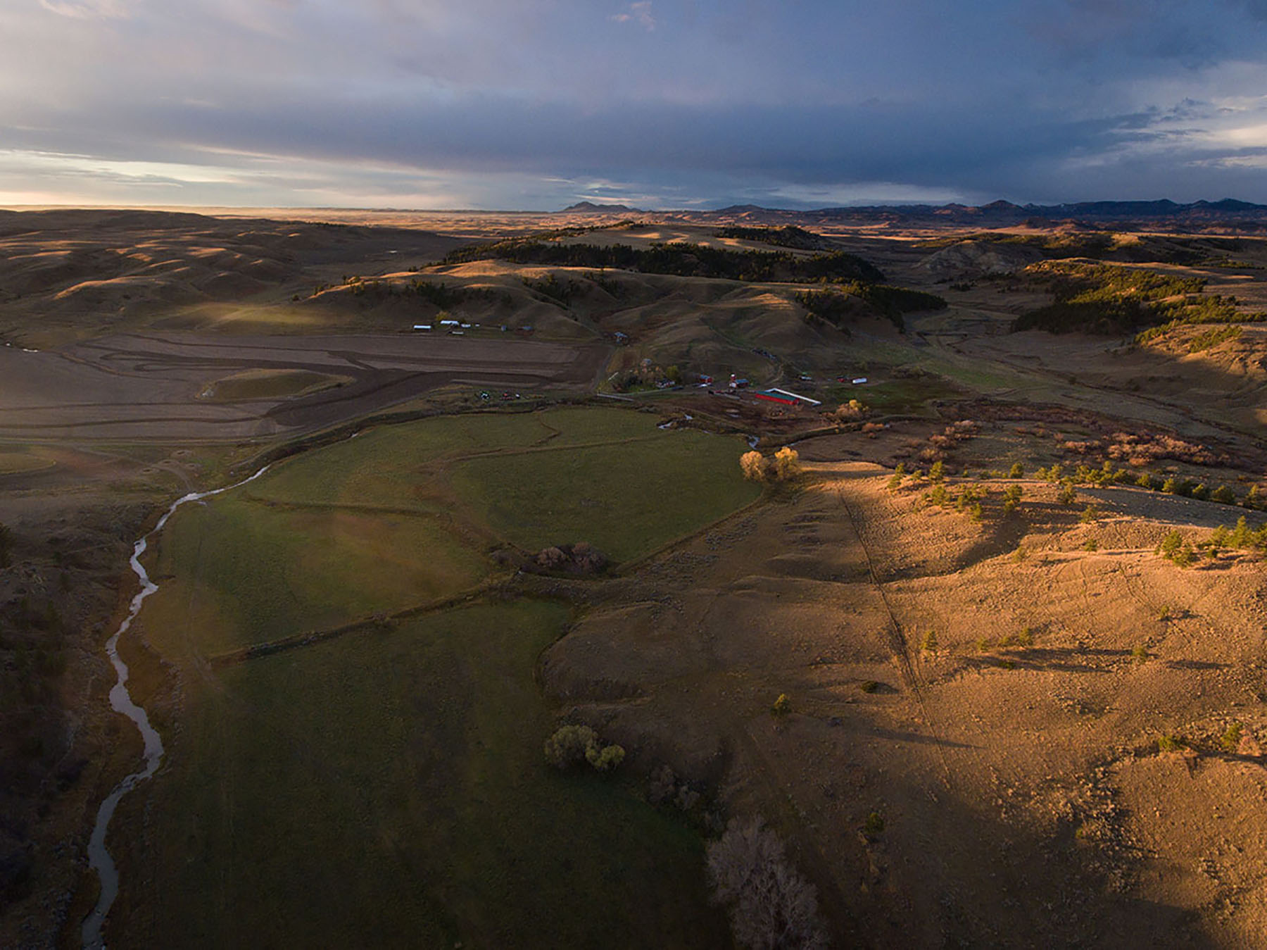
The ranch headquarters along Birch Creek lie at an altitude of approximately 3,200 feet above sea level. Average annual precipitation is estimated at 13-14 inches, and the average length of the frost-free growing season is from 120-125 days. Weather can vary dramatically with some winters being open, allowing cattle to graze out, and others requiring more hay. In general, wind, chinooks, and light winter precipitation contribute to keeping livestock wintering costs in check, by Montana standards. The Western Regional Climate Center published the following statistics for Big Sandy from 1921-2005:
- Average maximum temps- July 88 degrees; August 86 degrees
- Average maximum temps- December through February, 28 to 34 degrees
- Average annual snowfall of 18.79 inches with average snowfall depths under 2 inches in every month of the winter